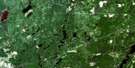
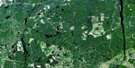
Porquis Junction Satellite Image Map
Download Free Aerial Photo 042A10 at 1:50,000 scale
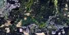
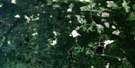
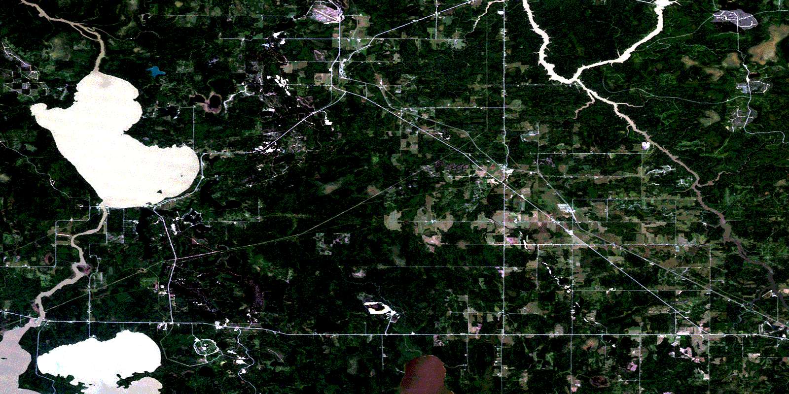
Porquis Junction Satellite Imagery
To view this satellite map, mouse over the air photo on the right.
You can also download this satellite image map for free:
042A10 Porquis Junction high-resolution satellite image map.
Maps for the Porquis Junction aerial map sheet 042A10 at 1:50,000 scale are also available in these versions:
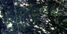
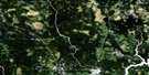
Porquis Junction Surrounding Area Aerial Photo Maps
 |
 |
 |
 |
 |
 |
 |
 |
 |
 |
 |
 |
 |
 |
 |
 |
© Department of Natural Resources Canada. All rights reserved.
Porquis Junction Gazetteer
The following places can be found on satellite image map 042A10 Porquis Junction:
Porquis Junction Satellite Image: Bays
Barbers BayBuffalo Bay
Centre Arm
Finn Bay
North Arm
Northeast Bay
Porquis Junction Satellite Image: Capes
Deadman's PointEast Peninsula
North Peninsula
Porquis Junction Satellite Image: City
TimminsTimmins-Porcupine
Porquis Junction Satellite Image: Falls
Twin FallsPorquis Junction Satellite Image: Geographical areas
BondBowman
Calvert
Carr
Clergue
Cochrane
Cody
Currie
Dundonald
Evelyn
German
Little
Macklem
Matheson
McCart
Rickard
Stock
Taylor
Teefy
Timiskaming
Walker
Wilkie
Porquis Junction Satellite Image: Islands
Anniversary IslandBald Island
Gold Island
Squaw Island
Porquis Junction Satellite Image: Lakes
Airstrip LakeAnderson Lake
Berthier Lake
Boy Scout Lake
Bullfrog Lake
Camp Lake
Chapman Lake
Charland Lake
Clearwater Lake
Cub Lake
Deep Lake
Deer Lake
Dundonald Lake
East Dundonald Lake
Fisher Lake
Frederick House Lake
Galloway Lake
Grassy Lake
Green Lake
Heart Lake
Homestead Lake
Horseshoe Lake
Hughes Lake
Irrigation Lake
Island Lake
Jean Lake
Keg Lake
Kettle Lake
La Viollette Lake
Lac à Booth
Lac Gauthier
Lac Lachapelle
Leece Lake
Leg of Lamb Lake
Legare Lake
Levacque Lake
Linament Lake
Linimint Lake
Lloyd Lake
Loon Lake
Low Lake
McInnis Lake
McIntosh Lake
Moose Lake
Mud Lake
Night Hawk Lake
Nighthawk Lake
Northeast Twin Lake
Otter Lake
Pexton Lake
Pine Lake
Point Lake
Reid Lake
Rice Lake
Roundelay Lake
Slab Lake
Spring Lake
Tamarack Lake
Tincan Lake
Tremblays Lake
Twin Lakes
Vader's Lake
Wabbler Lake
West Twin Lake
Wilson Lake
Porquis Junction Satellite Image: Other municipal/district area - miscellaneous
Black River-MathesonKingham
Mountjoy
Playfair
Tisdale
Whitney
Porquis Junction Satellite Image: Conservation areas
Frederick House Lake Provincial Nature ReserveKettle Lakes Provincial Park
Shallow River Provincial Nature Reserve
Porquis Junction Satellite Image: Rivers
Abitibi RiverBlack River
Driftwood River
Dundonald Creek
Frederick House River
Grindstone Creek
Hooker Creek
Little Driftwood River
Matheson Creek
Meadow Creek
Minnow Creek
Moose Creek
North Driftwood Creek
Rivière Abitibi
Rivière Watabeag
Russell Creek
Shallow River
Slim Creek
Tincan Creek
Wabbler Creek
Watabeag River
Porquis Junction Satellite Image: Towns
Iroquois FallsPorquis Junction Satellite Image: Unincorporated areas
AlertAlexo
Anthony
Barbers Bay
Black Creek
Connaught
Fielding
Goldlands
Homer
Kelso
Kilburn
McIntosh Springs
Monteith
Night Hawk Centre
Onagon
Porquis Junction
Reynolds
Shillington
Twin Falls
Val Gagné
Watabeag
Welsh
Wings
© Department of Natural Resources Canada. All rights reserved.
042A Related Maps:
042A Timmins042A01 Kirkland Lake
042A02 Radisson Lake
042A03 Peterlong Lake
042A04 Kenogaming Lake
042A05 Dana Lake
042A06 Timmins
042A07 Watabeag River
042A08 Ramore
042A09 Matheson
042A10 Porquis Junction
042A11 Pamour
042A12 Kamiskotia Lake
042A13 Manning Lake
042A14 Buskegau River
042A15 Iroquois Falls
042A16 Low Bush
