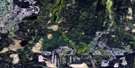
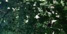
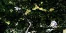
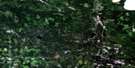
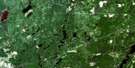
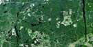
Low Bush Satellite Image Map
Download Free Aerial Photo 042A16 at 1:50,000 scale
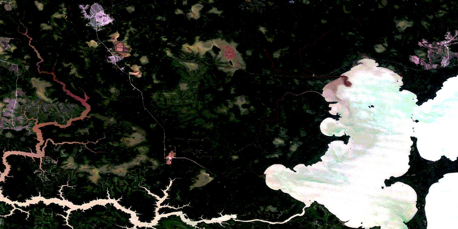
Low Bush Satellite Imagery
To view this satellite map, mouse over the air photo on the right.
You can also download this satellite image map for free:
042A16 Low Bush high-resolution satellite image map.
Maps for the Low Bush aerial map sheet 042A16 at 1:50,000 scale are also available in these versions:
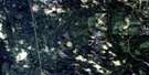
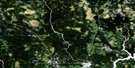
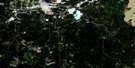
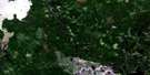
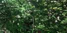
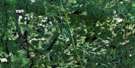
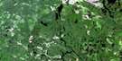
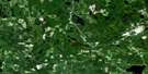
Low Bush Surrounding Area Aerial Photo Maps
 |
 |
 |
 |
 |
 |
 |
 |
 |
 |
 |
 |
 |
 |
 |
 |
© Department of Natural Resources Canada. All rights reserved.
Low Bush Gazetteer
The following places can be found on satellite image map 042A16 Low Bush:
Low Bush Satellite Image: Bays
Camp Three BayChesney Bay
Dokis Bay
Northeast Bay
Northwest Bay
Pierce Bay
Shea Bay
Low Bush Satellite Image: Capes
Bartlett PointDokis Point
Hospital Point
Long Point
McDougal Point
Red Pine Point
Sand Point
Low Bush Satellite Image: Falls
Couchiching FallsLow Bush Satellite Image: Geographical areas
BowyerCochrane
Findlay
Galna
Henley
Kerrs
Knox
Marathon
Moody
Pliny
Purvis
Rickard
Sherring
Steele
Sweatman
Timiskaming
Wesley
Low Bush Satellite Image: Lakes
Bingle LakeJam Lake
Lac Abitibi
Lake Abitibi
Marathon Lake
Sherring Lake
Sweatman Lake
Trail Lake
Traill Lake
Upper Bingle Lake
Low Bush Satellite Image: Conservation areas
Abitibi-De-Troyes Provincial ParkLow Bush Satellite Image: Rivers
Abitibi RiverBell River
Bingle Creek
Camp Creek
Circle River
Dokis River
Henley Creek
Joe Creek
Kaminisinakwa River
Little Kaminisinakwa River
Low Bush River
Marathon Creek
Mistango River
Rivière Abitibi
Sherring Creek
Sweatman Creek
Wesley Creek
West Mistango River
Low Bush Satellite Image: Towns
Iroquois FallsLow Bush Satellite Image: Unincorporated areas
BingleKirke
Low Bush
Low Bush River
© Department of Natural Resources Canada. All rights reserved.
042A Related Maps:
042A Timmins042A01 Kirkland Lake
042A02 Radisson Lake
042A03 Peterlong Lake
042A04 Kenogaming Lake
042A05 Dana Lake
042A06 Timmins
042A07 Watabeag River
042A08 Ramore
042A09 Matheson
042A10 Porquis Junction
042A11 Pamour
042A12 Kamiskotia Lake
042A13 Manning Lake
042A14 Buskegau River
042A15 Iroquois Falls
042A16 Low Bush
