Iroquois Falls Satellite Image Map
Download Free Aerial Photo 042A15 at 1:50,000 scale
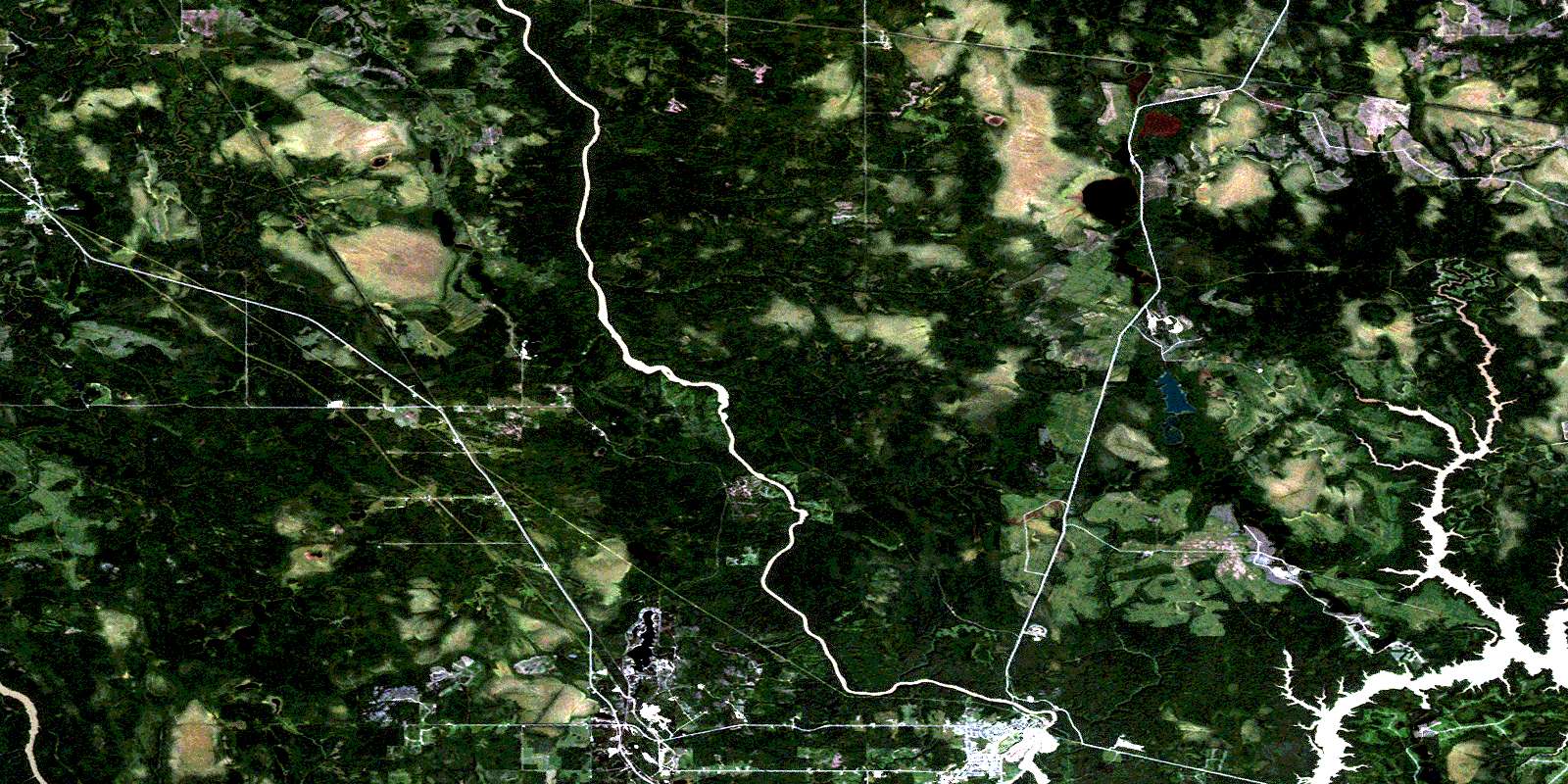
Iroquois Falls Satellite Imagery
To view this satellite map, mouse over the air photo on the right.
You can also download this satellite image map for free:
042A15 Iroquois Falls high-resolution satellite image map.
Maps for the Iroquois Falls aerial map sheet 042A15 at 1:50,000 scale are also available in these versions:
Iroquois Falls Surrounding Area Aerial Photo Maps
 |
 |
 |
 |
 |
 |
 |
 |
 |
 |
 |
 |
 |
 |
 |
 |
© Department of Natural Resources Canada. All rights reserved.
Iroquois Falls Gazetteer
The following places can be found on satellite image map 042A15 Iroquois Falls:
Iroquois Falls Satellite Image: Falls
Iroquois FallsIroquois Falls Satellite Image: Geographical areas
AuroraBrower
Calvert
Cochrane
Edwards
Fox
Hanna
Lamarche
Little
Mann
McCart
Mortimer
Newmarket
Pyne
Rickard
Sherring
St. John
Stimson
Sweatman
Teefy
Timiskaming
Wesley
Iroquois Falls Satellite Image: Lakes
Alpine LakeByrnes Lake
Childs Lake
Cole Lake
Devils Punch Bowl Lake
Devonshire Lake
Doucette Lake
Evelyn Lake
Fletchers Lake
Freve Lake
Frontier Lake
Gaffney Lake
Hanna Lake
Herman Lake
Jeannie Lake
Jefferson Lake
Joseph Lake
Lefroy Lake
Little Gaffney Lake
Little Lake
Maloney Lake
Mary Lake
Moseley Lake
Nellie Lake
Otter Lake
Pool Lake
Sak Lake
Siamese Twins Lake
Sibbald Lake
Taylors Lake
Tom Lake
Tricketts Lake
Warrick Lake
Withington Lake
Woolley Lake
Iroquois Falls Satellite Image: Other municipal/district area - miscellaneous
CalvertGlackmeyer
Iroquois Falls Satellite Image: Conservation areas
Nahma Bog and Poor Fens Conservation ReserveIroquois Falls Satellite Image: Rapids
Buckdeer RapidsIroquois Falls Satellite Image: Rivers
Abitibi RiverBrower Creek
Coté Creek
Crique Édouard
Devonshire Creek
Edwards Creek
Flint Creek
Frederick House River
Hanna Creek
Hudson Creek
Meadow Creek
Mistango River
Paton Creek
Pickerel Creek
Rivière Abitibi
Rivière Mistango
Sak Creek
Sucker River
Wesley Creek
West Mistango River
Wicklow Creek
Wicklow River
Iroquois Falls Satellite Image: Towns
CochraneIroquois Falls
Iroquois Falls Satellite Image: Unincorporated areas
AnsonvilleArpin
Berylvale
Devonshire
Downard
Montrock
Nellie Lake
Niddville
Norembega
Potter
Stimson
Stimson Diamond
Tunis
Twin Falls
© Department of Natural Resources Canada. All rights reserved.
042A Related Maps:
042A Timmins042A01 Kirkland Lake
042A02 Radisson Lake
042A03 Peterlong Lake
042A04 Kenogaming Lake
042A05 Dana Lake
042A06 Timmins
042A07 Watabeag River
042A08 Ramore
042A09 Matheson
042A10 Porquis Junction
042A11 Pamour
042A12 Kamiskotia Lake
042A13 Manning Lake
042A14 Buskegau River
042A15 Iroquois Falls
042A16 Low Bush
