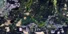
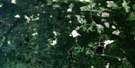
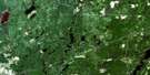
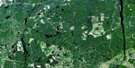
Kenogaming Lake Satellite Image Map
Download Free Aerial Photo 042A04 at 1:50,000 scale
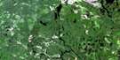
Kenogaming Lake Satellite Imagery
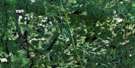
To view this satellite map, mouse over the air photo on the right.
You can also download this satellite image map for free:
042A04 Kenogaming Lake high-resolution satellite image map.
Maps for the Kenogaming Lake aerial map sheet 042A04 at 1:50,000 scale are also available in these versions:
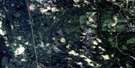
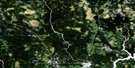
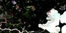
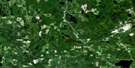
Kenogaming Lake Surrounding Area Aerial Photo Maps
 |
 |
 |
 |
 |
 |
 |
 |
 |
 |
 |
 |
 |
 |
 |
 |
© Department of Natural Resources Canada. All rights reserved.
Kenogaming Lake Gazetteer
The following places can be found on satellite image map 042A04 Kenogaming Lake:
Kenogaming Lake Satellite Image: Capes
Red Pine PointKenogaming Lake Satellite Image: Falls
High FallsKenogamissi Falls
Kenogaming Lake Satellite Image: Geographical areas
ChilderhoseCrothers
Doyle
Gouin
Hassard
Hillary
Kenogaming
McBride
McKeown
Northrup
Pharand
Regan
Reynolds
Roblin
Sewell
Timiskaming
Kenogaming Lake Satellite Image: Lakes
Akweskwa LakeBeaucage Lake
Benbow Lake
Big John Lake
Bilbe Lake
Chabot Lake
Chair Lake
Childerhose Lake
Crawford Lake
Crossover Lake
Cunningham Lake
Dark Lake
Deacon Lake
Deerfoot Lake
Dungaree Lake
Eastman Lake
FarrLake
Frise Lake
Hanrahan Lake
Hassard Lake
Hillary Lake
Horseshoe Lake
Indian Lake
Kaneki Lake
Kenogaming Lake
Kenogamissi Lake
Kidney Lake
Lap Lake
Late Lake
Left Lake
Little John Lake
Little Murr Lake
Little Pharand Lake
Little Shookemi Lake
Logie Lake
Lown Lake
Mattagami Lake
McBride Lake
McKeown Lake
Miskwamabi Lake
Misty Lake
Murr Lake
Napier Lake
Norma Lake
Opishing Lake
Pharand Lake
Pineland Lake
Porcupine Lake
Red Sucker Lake
Robson Lake
Sashihaw Lake
Sewell Lake
Shookemi Lake
Tanton Lake
Weston Lake
Wolf Lake
Kenogaming Lake Satellite Image: Rapids
Horseshoe RapidsKenogaming Lake Satellite Image: Rivers
Ahsine CreekBent Creek
Childerhose Creek
Crawford River
Deerfoot Creek
Godon Creek
Hassard Creek
Kamiskotia River
Kelly Creek
Kenese Creek
Left Creek
Little Pharand Creek
Lostdog Creek
Mattagami River
McBride Creek
McKeown Creek
Mindedo Creek
Pharand Creek
Rivière Mattagami
Robson Creek
Sashihaw Creek
Sewell Creek
Shookemi Creek
Tatachikapika River
Kenogaming Lake Satellite Image: Unincorporated areas
Gladwick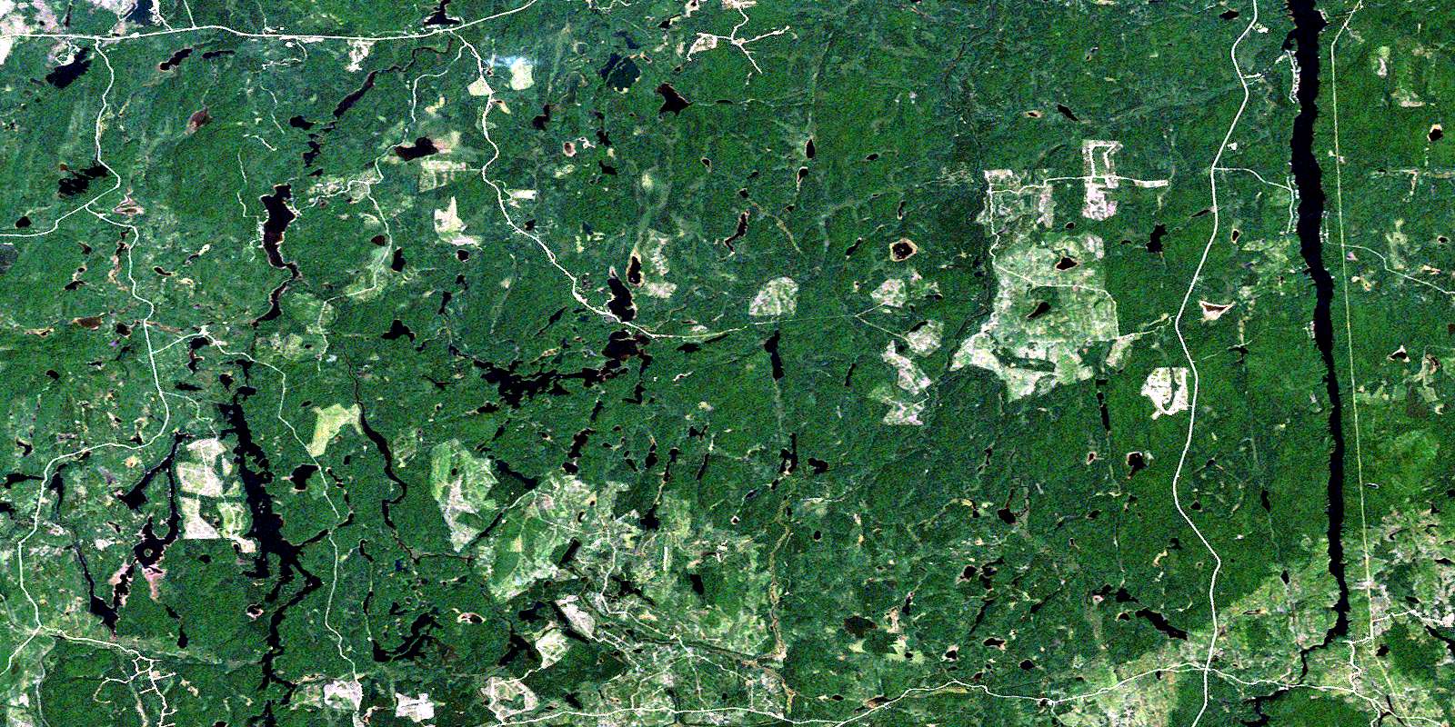
© Department of Natural Resources Canada. All rights reserved.
042A Related Maps:
042A Timmins042A01 Kirkland Lake
042A02 Radisson Lake
042A03 Peterlong Lake
042A04 Kenogaming Lake
042A05 Dana Lake
042A06 Timmins
042A07 Watabeag River
042A08 Ramore
042A09 Matheson
042A10 Porquis Junction
042A11 Pamour
042A12 Kamiskotia Lake
042A13 Manning Lake
042A14 Buskegau River
042A15 Iroquois Falls
042A16 Low Bush
