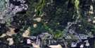
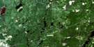
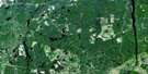
Ramore Satellite Image Map
Download Free Aerial Photo 042A08 at 1:50,000 scale
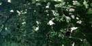
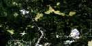
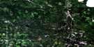
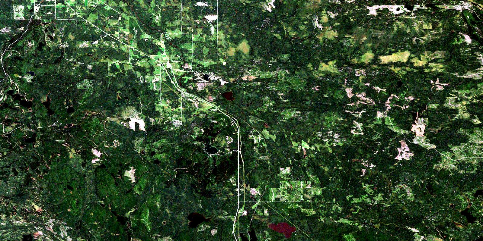
Ramore Satellite Imagery
To view this satellite map, mouse over the air photo on the right.
You can also download this satellite image map for free:
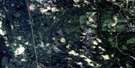
042A08 Ramore high-resolution satellite image map.
Maps for the Ramore aerial map sheet 042A08 at 1:50,000 scale are also available in these versions:
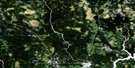
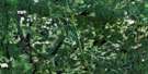
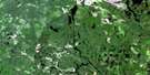
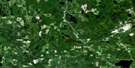
Ramore Surrounding Area Aerial Photo Maps
 |
 |
 |
 |
 |
 |
 |
 |
 |
 |
 |
 |
 |
 |
 |
 |
© Department of Natural Resources Canada. All rights reserved.
Ramore Gazetteer
The following places can be found on satellite image map 042A08 Ramore:
Ramore Satellite Image: Falls
High FallsRamore Satellite Image: Geographical areas
BarnetBenoit
Bernhardt
Bisley
Black
Bowman
Cochrane
Cook
Garrison
Guibord
Hislop
Lee
Maisonville
McCann
Melba
Michaud
Morrisette
Playfair
Terry
Thackeray
Timiskaming
Tolstoi
Ramore Satellite Image: Lakes
Andrew LakeArras Lake
Arthur Lake
Barnet Lake
Beaucoup Lakes
Benoit Lake
Berndt Lake
Big Finlander Lake
Binch Lake
Boisvert Lake
Bolton Lake
Borgford Lake
Bougie Lake
Burl Lakes
Butler Lake
Cariad Lake
Carlson Lake
Cauley Lake
Chatson Lake
Cherry Lake
Chummy Lake
Clermont Lake
Colvin Lake
Crescent Lake
De Courcey Lake
Dell Lake
Demarco Lake
Devereaux Lake
Dewar Lake
Dewhirst Lake
Dogue Lake
Douglas Lake
Duxfield Lake
Eade Lake
Emens Lake
Emms Lake
Errett Lake
Ferguson Lake
Fitter Lake
Foy Lake
Francesca Lake
Froude Lake
Gegear Lake
Gervais Lake
Girard Lake
Greenland Lake
Grenier Lake
Grove Lake
Halfway Lake
Hattatt Lake
Henrick Lake
Heslip Lake
Hewitt Lake
Hornby Lake
Ivan Lake
Jenner Lake
Kellett Lake
Kitchen Lake
Knight Lake
Lalonde Lake
Larrett Lake
Lauramay Lake
Lavallee Lake
Leece Lake
Legault Lake
Little Finlander Lake
Little Twin Lakes
Little Wright Lake
Lower Crescent Lake
Lower Hewitt Lake
Lower Twin Lake
Ludgate Lake
Malloch Lake
McGarry Lake
McMillan Lake
McVittie Lake
Melville Lake
Meyers Lake
Minson Lake
Mobbs Lake
Mooreland Lake
Neelands Lake
Nicolson Lake
Oslund Lake
Pike Lake
Pike Lake
Poe Lake
Pothole Lakes
Purdy Lake
Rawson Lake
Ray Lake
Renecker Lake
Rocks Lake
Rouleau Lake
Sabourin Lake
Scanlon Lake
Schell Lake
Schiller Lake
Shuker Lake
Sunstrum Lake
Talbock Lake
Terry Lake
Todhunter Lake
Tolstoi Lake
Tomwool Lake
Turkey Lake
Turner Lake
Turtle Lake
Upper Twin Lake
Verona Lake
Victor Lake
Wagg Lake
Warrell Lake
Wasnick Lake
West Lawlar Lake
Westaway Lake
Wildgoose Lake
Wolf Lake
Wright Lake
Youdell Lake
Ramore Satellite Image: Mountains
Blue MountainDefiance Peak
Gipsy Mountain
Guibord Hill
Lavaflow Mountain
Mount Kempis
Mount Stringer
Ramore Satellite Image: Other municipal/district area - miscellaneous
Black River-MathesonKingham
Playfair
Ramore Satellite Image: Conservation areas
Wildgoose Outwash Deposit Provincial ParkRamore Satellite Image: Rivers
Barnet CreekBenoit Creek
Black River
Cochenour Creek
Emens Creek
Kellett Creek
Little Black River
Little Pike River
Little Wildgoose Creek
Malloch Creek
McVittie Creek
Melba Creek
Pike River
Sarsfield Creek
Tolstoi Creek
Tomwool Creek
Whiteclay River
Wildgoose Creek
Wolf Creek
Woollings Creek
Ramore Satellite Image: Towns
Kirkland LakeRamore Satellite Image: Unincorporated areas
BourkesHoltyre
Ramore
Vimy Ridge
Wavell
© Department of Natural Resources Canada. All rights reserved.
042A Related Maps:
042A Timmins042A01 Kirkland Lake
042A02 Radisson Lake
042A03 Peterlong Lake
042A04 Kenogaming Lake
042A05 Dana Lake
042A06 Timmins
042A07 Watabeag River
042A08 Ramore
042A09 Matheson
042A10 Porquis Junction
042A11 Pamour
042A12 Kamiskotia Lake
042A13 Manning Lake
042A14 Buskegau River
042A15 Iroquois Falls
042A16 Low Bush
