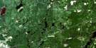
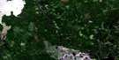
Peterlong Lake Satellite Image Map
Download Free Aerial Photo 042A03 at 1:50,000 scale
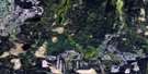
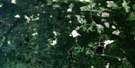
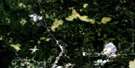
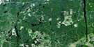
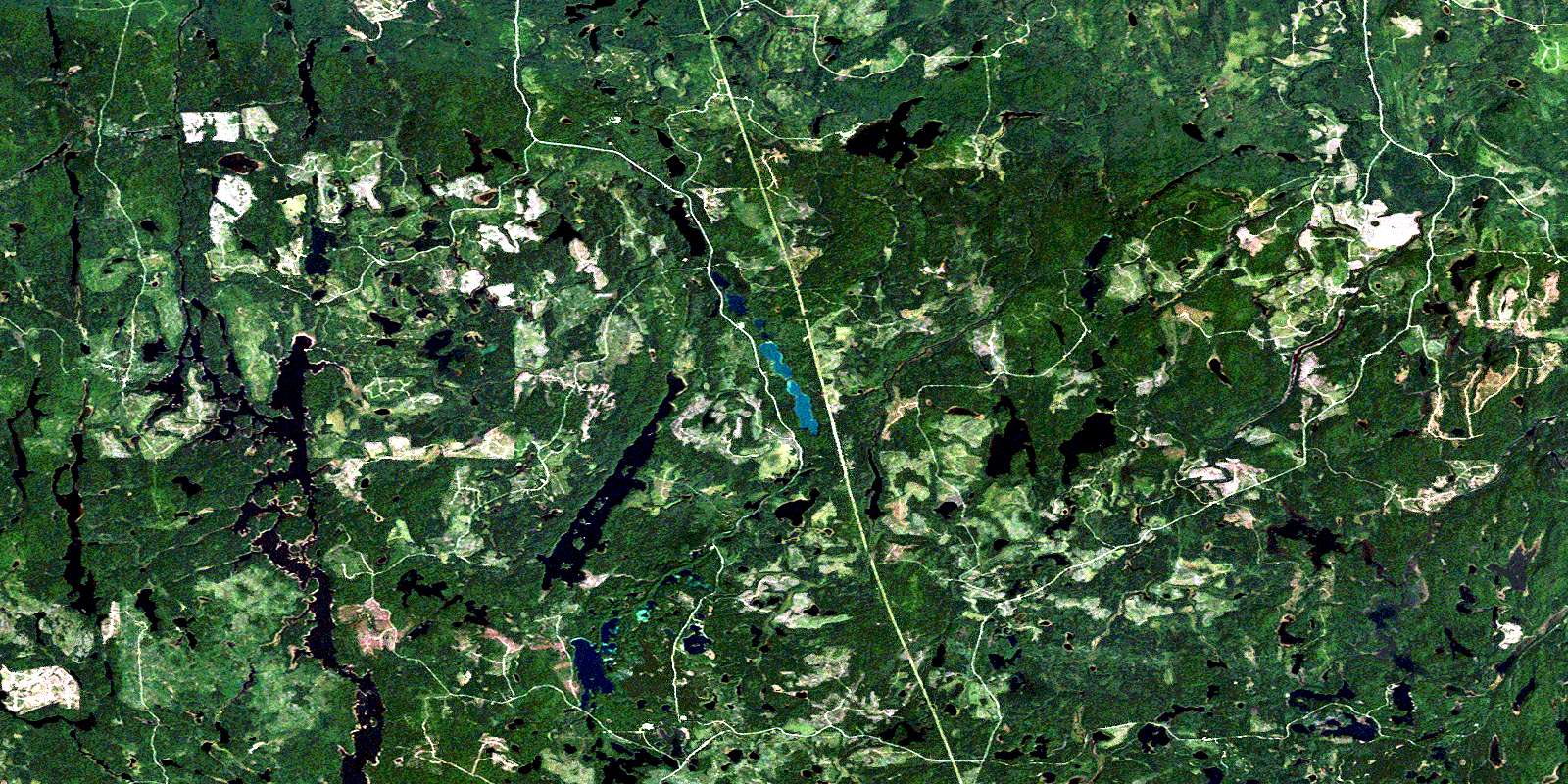
Peterlong Lake Satellite Imagery
To view this satellite map, mouse over the air photo on the right.
You can also download this satellite image map for free:
042A03 Peterlong Lake high-resolution satellite image map.
Maps for the Peterlong Lake aerial map sheet 042A03 at 1:50,000 scale are also available in these versions:
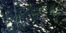
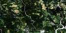
Peterlong Lake Surrounding Area Aerial Photo Maps
 |
 |
 |
 |
 |
 |
 |
 |
 |
 |
 |
 |
 |
 |
 |
 |
© Department of Natural Resources Canada. All rights reserved.
Peterlong Lake Gazetteer
The following places can be found on satellite image map 042A03 Peterlong Lake:
Peterlong Lake Satellite Image: Bays
Mica BayPeterlong Lake Satellite Image: Geographical areas
BartlettBeemer
Cleaver
Douglas
Doyle
English
Fallon
Fripp
Geikie
Gouin
Hassard
Hincks
Hutt
McArthur
McKeown
Moher
Montrose
Musgrove
Semple
Timiskaming
Zavitz
Peterlong Lake Satellite Image: Lakes
Austen LakeBanana Lake
Bartlett Lake
Boomerang Lake
Bruce Lake
Canoeshed Lake
Chesterfield Lakes
Chesterfield Lakes
Clayton Lake
Dark Lake
Dead Dog Lake
Dexter Lake
Dokis Lake
English Lake
Ferrier Lake
Flag Lake
Forks Lake
Geikie Lake
Geikie Lakes
Hassard Lake
Hincks Lake
Hopkins Lake
Kapiskong Lake
Kitchiming Lake
Little Esker Lake
Little Forks Lake
Little Night Hawk Lake
Little Nighthawk Lake
Little Whitefish Lake
Lower Chesterfield Lake
Lower Forks Lake
Lower Michegama Lake
Luke Lake
Marceau Lake
McArthur Lake
Mica Lake
Moray Lake
Mountjoy Lake
Musgrove Lake
Muskasenda Lake
Muskrat Lake
Papakomeka Lake
Peterlong Lake
Quartz Lake
Redwing Lake
Scott Lake
Scott Lakes
Semple Lake
Splitrock Lake
Steve Lake
Swamp Lake
Telluride Lake
Trayes Lake
Triple Lake
Upper Chesterfield Lake
Upper Michegama Lake
Wabiasin Lake
West Night Hawk Lake
West Nighthawk Lake
Whywhy Lake
Peterlong Lake Satellite Image: Mountains
Rat MountainSerpentine Mountain
Peterlong Lake Satellite Image: Rivers
Bartlett CreekBruce Creek
Chesterfield Creek
Dexter Creek
Esker Creek
Ferrier Creek
Forks River
Geikie Creek
Grassy River
Hassard Creek
Hutt Creek
Kitchiming Creek
Little Forks Creek
Little Night Hawk River
Little Nighthawk River
Little Whitefish River
McArthur Creek
Michegama Creek
Moher Creek
Moray Creek
Mountjoy River
Musgrove Creek
Night Hawk River
Nighthawk River
Redstone River
Redwing Creek
Splitrock River
Wabiasin Creek
Zavitz Creek
© Department of Natural Resources Canada. All rights reserved.
042A Related Maps:
042A Timmins042A01 Kirkland Lake
042A02 Radisson Lake
042A03 Peterlong Lake
042A04 Kenogaming Lake
042A05 Dana Lake
042A06 Timmins
042A07 Watabeag River
042A08 Ramore
042A09 Matheson
042A10 Porquis Junction
042A11 Pamour
042A12 Kamiskotia Lake
042A13 Manning Lake
042A14 Buskegau River
042A15 Iroquois Falls
042A16 Low Bush
