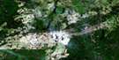
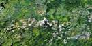
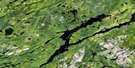
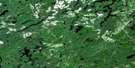
Ericson Creek Satellite Image Map
Download Free Aerial Photo 042B14 at 1:50,000 scale
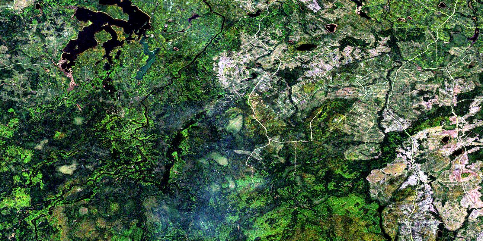
Ericson Creek Satellite Imagery
To view this satellite map, mouse over the air photo on the right.
You can also download this satellite image map for free:
042B14 Ericson Creek high-resolution satellite image map.
Maps for the Ericson Creek aerial map sheet 042B14 at 1:50,000 scale are also available in these versions:
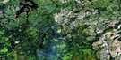
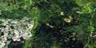
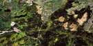
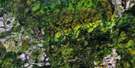
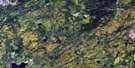
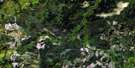
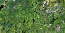
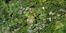
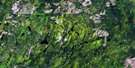
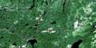
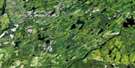
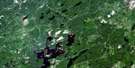
Ericson Creek Surrounding Area Aerial Photo Maps
 |
 |
 |
 |
 |
 |
 |
 |
 |
 |
 |
 |
 |
 |
 |
 |
© Department of Natural Resources Canada. All rights reserved.
Ericson Creek Gazetteer
The following places can be found on satellite image map 042B14 Ericson Creek:
Ericson Creek Satellite Image: Falls
Split Rock FallsThunder Falls
Ericson Creek Satellite Image: Geographical areas
ByngChamplain
Clouston
Cromlech
Ericson
Hayward
Maude
Mons
Oscar
Puskuta
Radisson
Usnac
Ericson Creek Satellite Image: Lakes
Brunswick LakeGraham Lake
Little Teepee Lake
Maude Lake
Mons Lake
Radisson Lake
Usnac Lake
Ericson Creek Satellite Image: Conservation areas
Missinaibi Provincial ParkEricson Creek Satellite Image: Rivers
Byng CreekChamplain Creek
Ericson Creek
Fire River
Graham Creek
Inlet Creek
Maude Creek
Missinaibi River
Mons Creek
North Byng Creek
Puskuta Creek
Rivière Missinaibi
Teepee Creek
Thunder Creek
West Champlain Creek
Wigwam Creek
Ericson Creek Satellite Image: Road features
Brunswick PortageSt. Paul Portage
© Department of Natural Resources Canada. All rights reserved.
042B Related Maps:
042B Foleyet042B01 Foleyet
042B02 Ivanhoe Lake
042B03 Swanson River
042B04 Bolkow
042B05 Missinaibi Lake
042B06 Makonie Lake
042B07 Missonga
042B08 Oswald Lake
042B09 Elf Lake
042B10 Elsas
042B11 Peterbell
042B12 Greenhill River
042B13 Minnipuka
042B14 Ericson Creek
042B15 Allenby Creek
042B16 Griffin Lake
