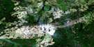
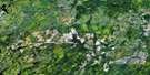
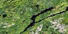
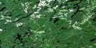
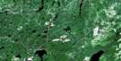
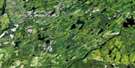
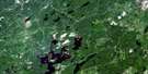
Ivanhoe Lake Satellite Image Map
Download Free Aerial Photo 042B02 at 1:50,000 scale
Ivanhoe Lake Satellite Imagery
To view this satellite map, mouse over the air photo on the right.
You can also download this satellite image map for free:
042B02 Ivanhoe Lake high-resolution satellite image map.
Maps for the Ivanhoe Lake aerial map sheet 042B02 at 1:50,000 scale are also available in these versions:
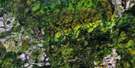
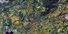
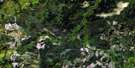
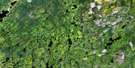
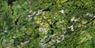
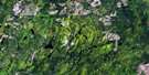
Ivanhoe Lake Surrounding Area Aerial Photo Maps
 |
 |
 |
 |
 |
 |
 |
 |
 |
 |
 |
 |
 |
 |
 |
 |
© Department of Natural Resources Canada. All rights reserved.
Ivanhoe Lake Gazetteer
The following places can be found on satellite image map 042B02 Ivanhoe Lake:
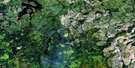
Ivanhoe Lake Satellite Image: Channels
Old ChannelIvanhoe Lake Satellite Image: Falls
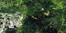
Cooper FallsIvanhoe Lake Satellite Image: Geographical areas
AlcornBiggs
Carty
Chewett
Collins
Copperfield
Evans
Foleyet
Hellyer
Ivanhoe
Lemoine
Lincoln
Murdock
Paul
Pinogami
Sandy
Silk
Warren
Whigham
Ivanhoe Lake Satellite Image: Islands
First IslandHinton Island
Klose Island
Second Island
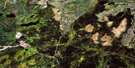
Ivanhoe Lake Satellite Image: Lakes
Biggs LakeBirch Lake
Blackwater Lake
Carty Lake
Catcher Lake
East Carty Lake
Frog Lake
Grassy Lake
Gullystone Lake
Harold Lake
Ivanhoe Lake
Lemoine Lake
Libby Lake
Linekar Lake
Lita Lake
Little Lemoine Lake
Murdock Lake
Norfolk Lake
Offset Lake
Reneé Lake
Renée Lake
Saw Lake
Shallow Lake
Sloan Lake
Sloans Lake
Tom Smith Lake
Twin Lakes
Wakagami Lake
Westmeath Lake
Whigham Lake
White Owl Lake
Ivanhoe Lake Satellite Image: Conservation areas
Chapleau-Nemegosenda River Provincial ParkIvanhoe Lake Provincial Park
Ivanhoe River Conservation Reserve
Ivanhoe Lake Satellite Image: Rivers
Carty CreekGullystone Creek
Heart Creek
Ivanhoe River
Ivanhoe River (New Channel)
Ivanhoe River (Old Channel)
Jackpine Creek
Little Shawmere River
Muskego River
Nemegosenda River
Paul Creek
Rivière Nemegosenda
Shawmere River
Sloans Creek
Westmeath Creek
Ivanhoe Lake Satellite Image: Shoals
Hastie Shoal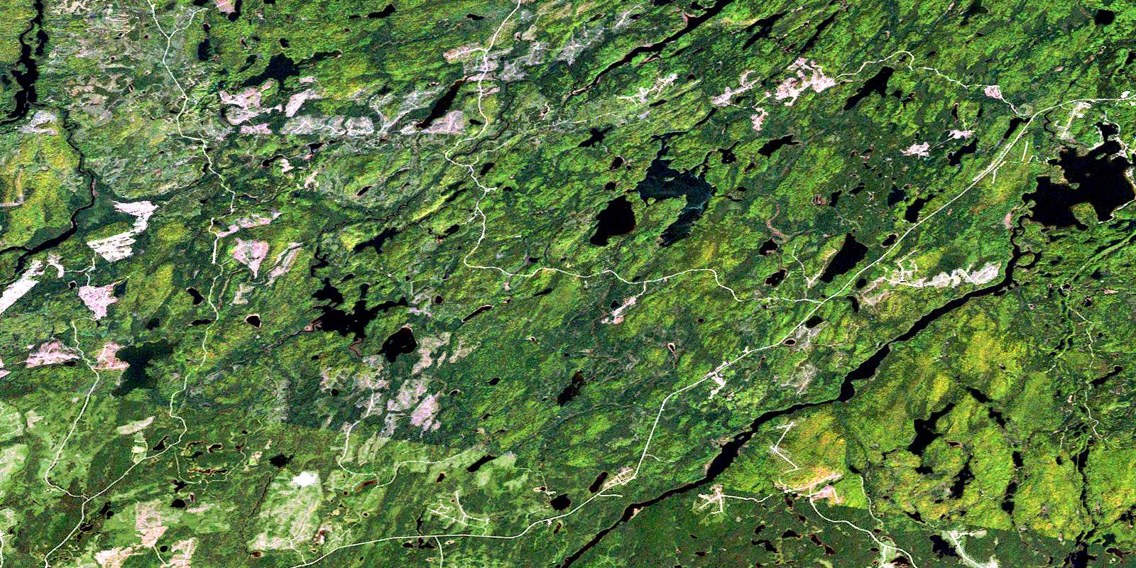
© Department of Natural Resources Canada. All rights reserved.
042B Related Maps:
042B Foleyet042B01 Foleyet
042B02 Ivanhoe Lake
042B03 Swanson River
042B04 Bolkow
042B05 Missinaibi Lake
042B06 Makonie Lake
042B07 Missonga
042B08 Oswald Lake
042B09 Elf Lake
042B10 Elsas
042B11 Peterbell
042B12 Greenhill River
042B13 Minnipuka
042B14 Ericson Creek
042B15 Allenby Creek
042B16 Griffin Lake
