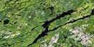
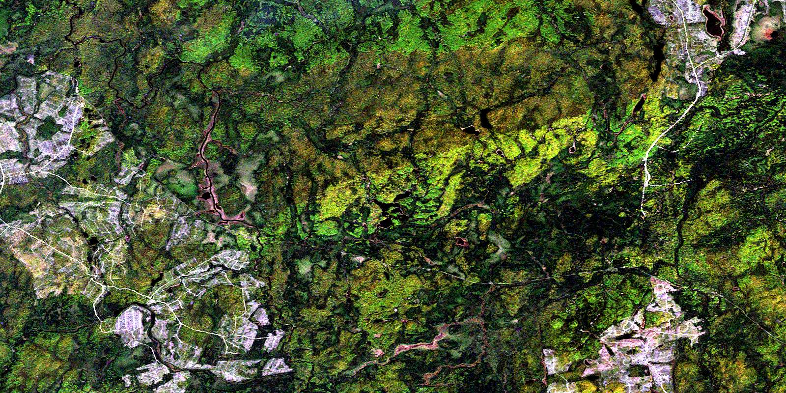
Peterbell Satellite Image Map
Download Free Aerial Photo 042B11 at 1:50,000 scale
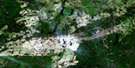
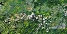
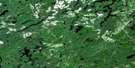
Peterbell Satellite Imagery
To view this satellite map, mouse over the air photo on the right.
You can also download this satellite image map for free:
042B11 Peterbell high-resolution satellite image map.
Maps for the Peterbell aerial map sheet 042B11 at 1:50,000 scale are also available in these versions:
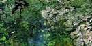
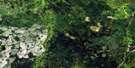
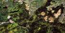
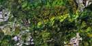
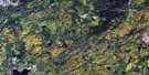
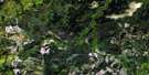
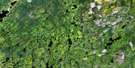
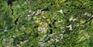
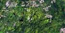
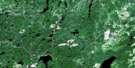
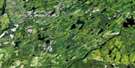
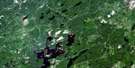
Peterbell Surrounding Area Aerial Photo Maps
 |
 |
 |
 |
 |
 |
 |
 |
 |
 |
 |
 |
 |
 |
 |
 |
© Department of Natural Resources Canada. All rights reserved.
Peterbell Gazetteer
The following places can be found on satellite image map 042B11 Peterbell:
Peterbell Satellite Image: Bays
Barclay BayPeterbell Satellite Image: Falls
Allan FallsPeterbell Satellite Image: Geographical areas
AmundsenChamplain
Clouston
Coderre
Conking
Hayward
Kapuskasing
Kirkwall
Lerwick
Mons
Stefansson
Peterbell Satellite Image: Islands
Allan IslandPeterbell Satellite Image: Lakes
Croasdell LakeDumbell Lake
Little Stefansson Lake
Missinaibi Lake
Mons Lake
Wigwam Lake
Peterbell Satellite Image: Mountains
Mount HordenPeterbell Satellite Image: Conservation areas
Missinaibi Provincial ParkPeterbell Satellite Image: Rapids
Barrel RapidsCalf Rapids
Deadwood Rapids
Greenhill Rapids
Quittagene Rapids
St. Peter Rapids
Sun Rapids
Swamp Portage Rapids
Trestle Rapids
Wavy Rapids
Peterbell Satellite Image: Rivers
Champlain CreekCroasdell Creek
Dunrankin River
East Dunrankin River
Flying Post Creek
Greenhill River
Kirkwall River
Missinaibi River
Mons Creek
Nottawa River
Rivière Missinaibi
West Champlain Creek
Wigwam Creek
Peterbell Satellite Image: Road features
Barrel PortageDeadwood Portage
Greenhill Portage
Jackpine Portage
Sun Portage
Swamp Portage
Wavy Portage
Peterbell Satellite Image: Unincorporated areas
ArgolisDunrankin
Peterbell
© Department of Natural Resources Canada. All rights reserved.
042B Related Maps:
042B Foleyet042B01 Foleyet
042B02 Ivanhoe Lake
042B03 Swanson River
042B04 Bolkow
042B05 Missinaibi Lake
042B06 Makonie Lake
042B07 Missonga
042B08 Oswald Lake
042B09 Elf Lake
042B10 Elsas
042B11 Peterbell
042B12 Greenhill River
042B13 Minnipuka
042B14 Ericson Creek
042B15 Allenby Creek
042B16 Griffin Lake
