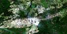
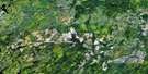
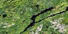
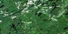
Oswald Lake Satellite Image Map
Download Free Aerial Photo 042B08 at 1:50,000 scale
Oswald Lake Satellite Imagery
To view this satellite map, mouse over the air photo on the right.
You can also download this satellite image map for free:
042B08 Oswald Lake high-resolution satellite image map.
Maps for the Oswald Lake aerial map sheet 042B08 at 1:50,000 scale are also available in these versions:
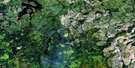
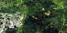
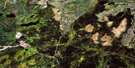
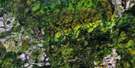
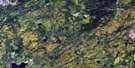
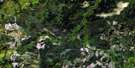
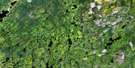
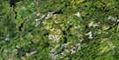
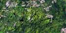
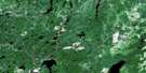
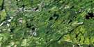
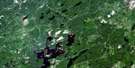
Oswald Lake Surrounding Area Aerial Photo Maps
 |
 |
 |
 |
 |
 |
 |
 |
 |
 |
 |
 |
 |
 |
 |
 |
© Department of Natural Resources Canada. All rights reserved.
Oswald Lake Gazetteer
The following places can be found on satellite image map 042B08 Oswald Lake:
Oswald Lake Satellite Image: Geographical areas
CochraneEnid
Foleyet
Frey
Melrose
Muskego
Nova
Oates
Ossin
Oswald
Reeves
Sewell
Strachan
Oswald Lake Satellite Image: Lakes
Beattie LakeBeaudry Lake
Biting Lake
Bromley Lake
Deep Lake
Green Lake
Hogsback Lake
Laundry Lake
Little Oates Lake
Melrose Lake
Moore Lake
Oates Lake
Oswald Lake
Pike Lake
Pilon Lake
Sand Lake
Scorch Lake
South Scorch Lake
Oswald Lake Satellite Image: Mountains
Melrose Tower HillOswald Lake Satellite Image: Rapids
Camus RapidsThe Chutes
Oswald Lake Satellite Image: Rivers
Biting CreekBryce Creek
Groundhog River
Heart Creek
Ivanhoe River
Ivanhoe River (New Channel)
Ivanhoe River (Old Channel)
Melrose Creek
Moonshine Creek
Nat River
Oates Creek
Osishana Creek
Oswald Creek
Rivière Groundhog
Scorch Creek
Shawmere River
South Scorch Creek
Vimy Creek
West Crawford Creek
West Crawford River

© Department of Natural Resources Canada. All rights reserved.
042B Related Maps:
042B Foleyet042B01 Foleyet
042B02 Ivanhoe Lake
042B03 Swanson River
042B04 Bolkow
042B05 Missinaibi Lake
042B06 Makonie Lake
042B07 Missonga
042B08 Oswald Lake
042B09 Elf Lake
042B10 Elsas
042B11 Peterbell
042B12 Greenhill River
042B13 Minnipuka
042B14 Ericson Creek
042B15 Allenby Creek
042B16 Griffin Lake
