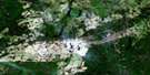
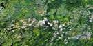
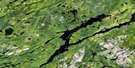
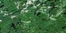
Makonie Lake Satellite Image Map
Download Free Aerial Photo 042B06 at 1:50,000 scale
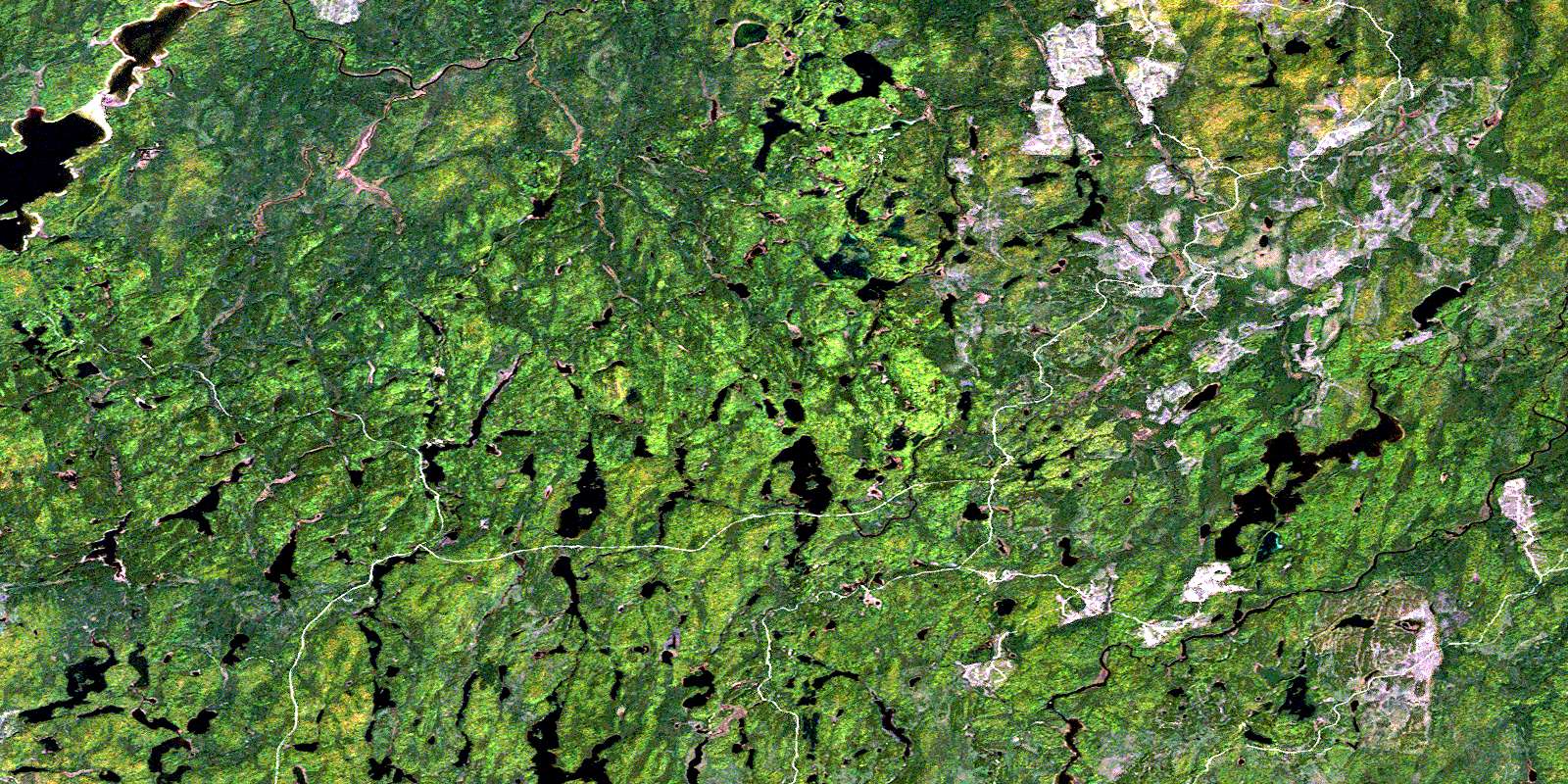
Makonie Lake Satellite Imagery
To view this satellite map, mouse over the air photo on the right.
You can also download this satellite image map for free:
042B06 Makonie Lake high-resolution satellite image map.
Maps for the Makonie Lake aerial map sheet 042B06 at 1:50,000 scale are also available in these versions:
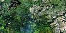
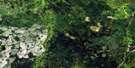
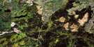
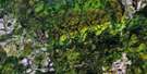
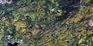
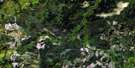
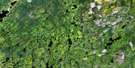
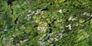
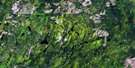
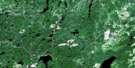
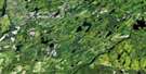
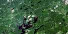
Makonie Lake Surrounding Area Aerial Photo Maps
 |
 |
 |
 |
 |
 |
 |
 |
 |
 |
 |
 |
 |
 |
 |
 |
© Department of Natural Resources Canada. All rights reserved.
Makonie Lake Gazetteer
The following places can be found on satellite image map 042B06 Makonie Lake:
Makonie Lake Satellite Image: Bays
Barclay BayLast Bay
Makonie Lake Satellite Image: Channels
The NarrowsMakonie Lake Satellite Image: Geographical areas
AdmiralBarclay
Bonar
Brutus
Busby
Calais
Clifton
Copperfield
Kapuskasing
Kildare
Kirkwall
Lerwick
Lipsett
Lloyd
Makonie Lake Satellite Image: Lakes
Bittern LakeBonar Lake
British Lake
Brutus Lake
Busby Lake
Calais Lake
Copperfield Lake
Dunrankin Lake
Grenadier Lake
Hay Lake
Irish Lake
Kakanakwa Lake
Leaning Lake
Leaningstone Lake
Lipsett Lake
Little Bear Lake
Lloyd Lake
Makonie Lake
Missinaibi Lake
Schewabik Lake
Sharp Hoof Lake
Stefansson Lake
Stone Lake
Upper Dunrankin Lake
Van Lake
Welsh Lake
Wrong Lake
Makonie Lake Satellite Image: Conservation areas
Chapleau-Nemegosenda River Provincial ParkMissinaibi Provincial Park
Old Brunswick House Wilderness Area
Makonie Lake Satellite Image: Rapids
Cedar RapidsLong Rapids
Makonie Lake Satellite Image: Rivers
Busby CreekCalais Creek
Chapleau River
Copperfield Creek
Dunrankin River
East Dunrankin River
Flying Post Creek
Grenadier Creek
Hay River
Kakanakwa Creek
Kirkwall River
Leaningstone Creek
Little Hay River
Makonie River
Missinaibi River
Rivière Chapleau
Rivière Missinaibi
Stefansson Creek
© Department of Natural Resources Canada. All rights reserved.
042B Related Maps:
042B Foleyet042B01 Foleyet
042B02 Ivanhoe Lake
042B03 Swanson River
042B04 Bolkow
042B05 Missinaibi Lake
042B06 Makonie Lake
042B07 Missonga
042B08 Oswald Lake
042B09 Elf Lake
042B10 Elsas
042B11 Peterbell
042B12 Greenhill River
042B13 Minnipuka
042B14 Ericson Creek
042B15 Allenby Creek
042B16 Griffin Lake
