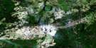
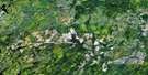
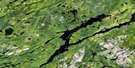
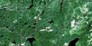
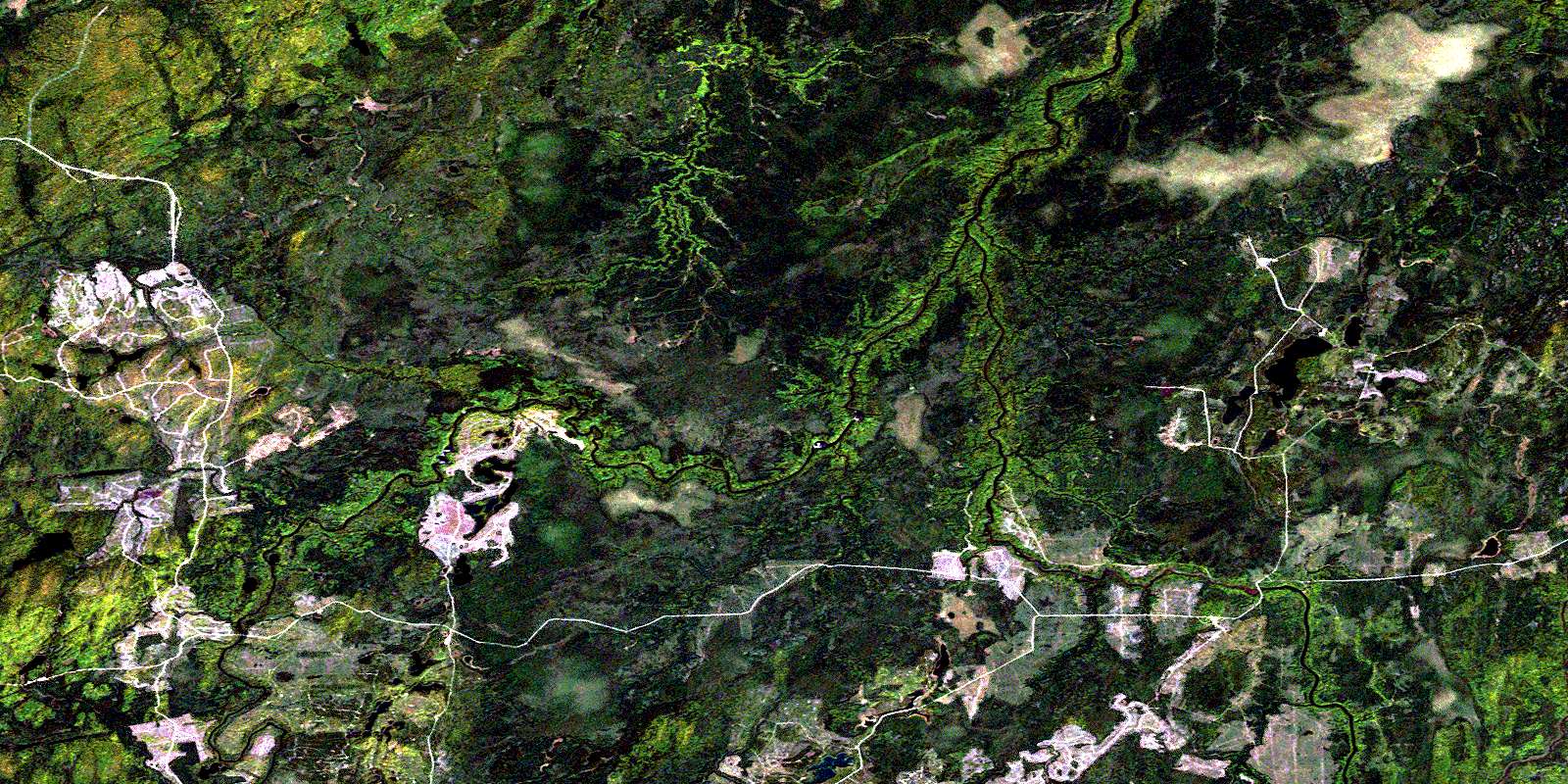
Elf Lake Satellite Image Map
Download Free Aerial Photo 042B09 at 1:50,000 scale
Elf Lake Satellite Imagery
To view this satellite map, mouse over the air photo on the right.
You can also download this satellite image map for free:
042B09 Elf Lake high-resolution satellite image map.
Maps for the Elf Lake aerial map sheet 042B09 at 1:50,000 scale are also available in these versions:
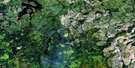
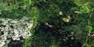
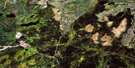
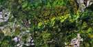
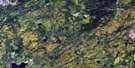
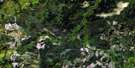
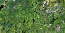
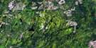
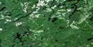
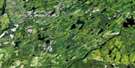
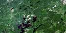
Elf Lake Surrounding Area Aerial Photo Maps
 |
 |
 |
 |
 |
 |
 |
 |
 |
 |
 |
 |
 |
 |
 |
 |
© Department of Natural Resources Canada. All rights reserved.
Elf Lake Gazetteer
The following places can be found on satellite image map 042B09 Elf Lake:
Elf Lake Satellite Image: Geographical areas
AitkenBelford
Cochrane
Enid
Fortune
Lisgar
Montcalm
Nova
Ossin
Poulett
Strachan
Wadsworth
Watson
Elf Lake Satellite Image: Indian Reserves
Flying Post 73Flying Post Indian Reserve 73
Réserve indienne Flying Post 73
Elf Lake Satellite Image: Lakes
Elf LakeFryingpan Lake
Heath Lake
Ossin Lake
Elf Lake Satellite Image: Conservation areas
Nova Township Clay Plain Peatlands Conservation ReserveElf Lake Satellite Image: Rapids
Six Mile RapidsElf Lake Satellite Image: Rivers
Bartlett CreekBelford Creek
Groundhog River
Ivanhoe River
Komak Creek
Montcalm Creek
Nat River
Osishana Creek
Paypeeshek River
Poulett Creek
Rivière Groundhog
© Department of Natural Resources Canada. All rights reserved.
042B Related Maps:
042B Foleyet042B01 Foleyet
042B02 Ivanhoe Lake
042B03 Swanson River
042B04 Bolkow
042B05 Missinaibi Lake
042B06 Makonie Lake
042B07 Missonga
042B08 Oswald Lake
042B09 Elf Lake
042B10 Elsas
042B11 Peterbell
042B12 Greenhill River
042B13 Minnipuka
042B14 Ericson Creek
042B15 Allenby Creek
042B16 Griffin Lake
