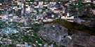
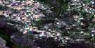
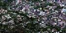
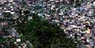
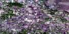
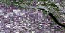
Miami Satellite Image Map
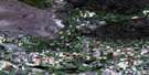
Download Free Aerial Photo 062G08 at 1:50,000 scale
Miami Satellite Imagery
To view this satellite map, mouse over the air photo on the right.
You can also download this satellite image map for free:
062G08 Miami high-resolution satellite image map.
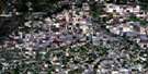
Maps for the Miami aerial map sheet 062G08 at 1:50,000 scale are also available in these versions:
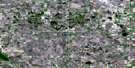
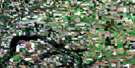
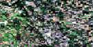
Miami Surrounding Area Aerial Photo Maps
 |
 |
 |
 |
 |
 |
 |
 |
 |
 |
 |
 |
 |
 |
 |
 |
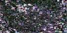
© Department of Natural Resources Canada. All rights reserved.
Miami Gazetteer
The following places can be found on satellite image map 062G08 Miami:
Miami Satellite Image: Lakes
Heatherington LakeLizard Lake
Miami Satellite Image: Mountains
Clandenning HillMount Nebo
Opawaka Hill
Pembina Hills
Pembina Mountain
Riter Hill
Twin Sisters
Wiener Hill
Miami Satellite Image: Other municipal/district area - miscellaneous
DufferinLorne
Pembina
Roland
Stanley
Thompson
Miami Satellite Image: Conservation areas
Deerwood Wildlife Management AreaMiami Satellite Image: Rivers
Boyne RiverGraham Creek
Graham Creek
Little Pembina River
Roseisle Creek
Shannon Creek
South Tobacco Creek
Thornhill Coulee
Miami Satellite Image: Springs
Shannon SpringMiami Satellite Image: Towns
CarmanMiami Satellite Image: Unincorporated areas
AltamontBabcock
Deerwood
Five Corners
Jordan
Leary
Learys
Miami
Pomeroy
Rosebank
Roseisle
St. Lupicin
Miami Satellite Image: Valleys
Snow ValleyMiami Satellite Image: Low vegetation
Hughes Slough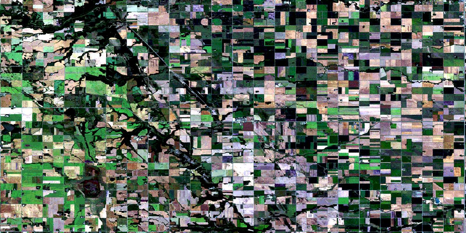
© Department of Natural Resources Canada. All rights reserved.
