Glenboro Satellite Image Map
Download Free Aerial Photo 062G11 at 1:50,000 scale
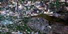
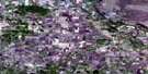
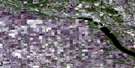
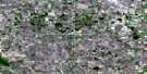
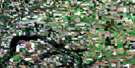
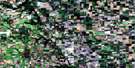
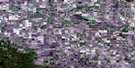
Glenboro Satellite Imagery
To view this satellite map, mouse over the air photo on the right.
You can also download this satellite image map for free:
062G11 Glenboro high-resolution satellite image map.
Maps for the Glenboro aerial map sheet 062G11 at 1:50,000 scale are also available in these versions:
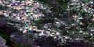
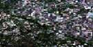
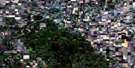
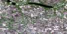
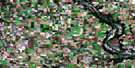
Glenboro Surrounding Area Aerial Photo Maps
 |
 |
 |
 |
 |
 |
 |
 |
 |
 |
 |
 |
 |
 |
 |
 |
© Department of Natural Resources Canada. All rights reserved.
Glenboro Gazetteer
The following places can be found on satellite image map 062G11 Glenboro:
Glenboro Satellite Image: Beaches
Adams FlatsGlenboro Satellite Image: Hydraulic construction
Tiger Creek DrainGlenboro Satellite Image: Islands
Big IslandGlenboro Satellite Image: Lakes
Barkers LakeCampbells Lake
De Gueldres Lake
Horseshoe Lake
Jackfish Lake
Kiche Manitou Lake
Little Crescent Lake
Marshs Lake
McLeans Lake
Northeys Lake
Olafson Lake
Richmonds Lake
Shewfelts Lake
Stonys Lake
Glenboro Satellite Image: Military areas
Base des Forces canadiennes ShiloCanadian Forces Base Shilo
Champ de tir et champ de manoeuvre Shilo
Shilo Range and Training Area
Glenboro Satellite Image: Mountains
Bald Head HillsBusseys Butte
Froebe Hill
Little Round Apple
Mawbys Hill
Snake Hill
Spirit Sands
Tiger Hills
Glenboro Satellite Image: Other municipal/district area - miscellaneous
ArgyleSouth Cypress
Strathcona
Victoria
Glenboro Satellite Image: Conservation areas
Assiniboine Corridor Wildlife Management AreaSpruce Woods Provincial Forest
Spruce Woods Provincial Park
Spruce Woods Wildlife Management Area
Glenboro Satellite Image: Plains
The Round PlainThornboroughs Flats
Glenboro Satellite Image: Rivers
Assiniboine RiverCypress River
Epinette Creek
Oak Creek
Oxtail Creek
Glenboro Satellite Image: Road features
Parks RouteRoute des parcs
Snake Hill Bridge
Stockton Ferry
Glenboro Satellite Image: Unincorporated areas
Cypress RiverSteels Ferry
Stockton
Glenboro Satellite Image: Valleys
Devils Punch BowlNewfoundland Ravine
Glenboro Satellite Image: Low vegetation
Andersons MarshBarr Sloughs
Black Slough
Byron Slough
Claeys Slough
Clays Slough
Douglas Marsh
Dowd Slough
Glenboro Marsh
Hermans Slough
Northey Flats
Glenboro Satellite Image: Villages
Glenboro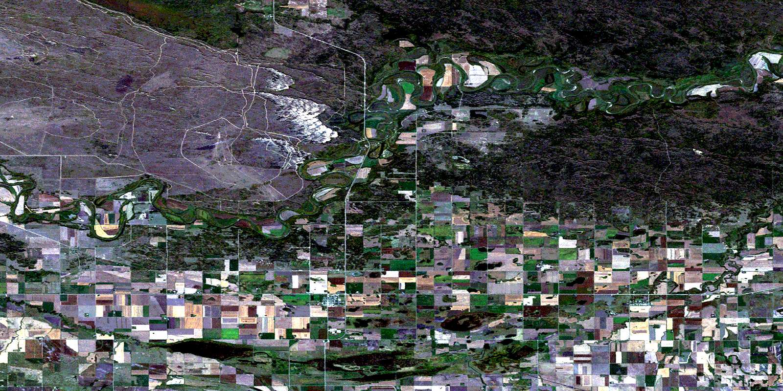
© Department of Natural Resources Canada. All rights reserved.
