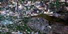
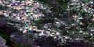
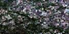
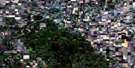
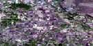
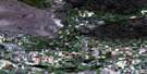
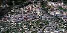
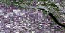
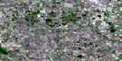
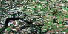
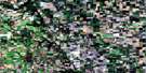
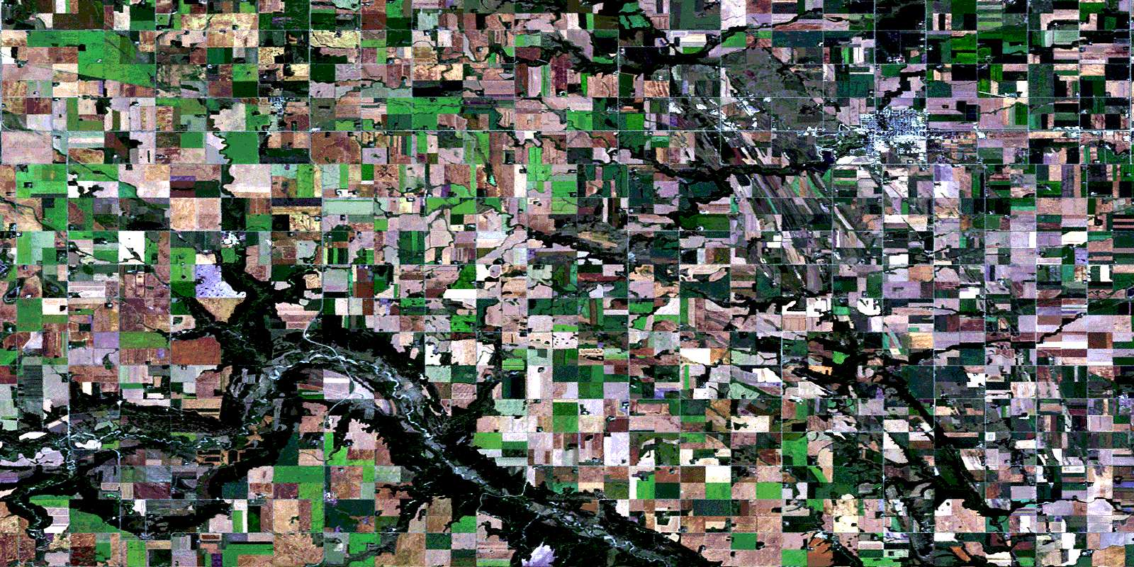
Morden Satellite Image Map
Download Free Aerial Photo 062G01 at 1:50,000 scale
Morden Satellite Imagery
To view this satellite map, mouse over the air photo on the right.
You can also download this satellite image map for free:
062G01 Morden high-resolution satellite image map.
Maps for the Morden aerial map sheet 062G01 at 1:50,000 scale are also available in these versions:
Morden Surrounding Area Aerial Photo Maps
 |
 |
 |
 |
 |
 |
 |
 |
 |
 |
 |
 |
 |
 |
 |
 |
© Department of Natural Resources Canada. All rights reserved.
Morden Gazetteer
The following places can be found on satellite image map 062G01 Morden:
Morden Satellite Image: Beaches
Colert BeachMorden Satellite Image: Capes
Russell PointMorden Satellite Image: Hydraulic construction
Morden DamRosenheim Drain
Morden Satellite Image: Lakes
Falcon PondHorseshoe Pond
Jackson Lake
Lake Minnewasta
Morden Satellite Image: Mountains
Barnharts HillHill Sixty
Pembina Hills
Pembina Mountain
Pikes Peak
Morden Satellite Image: Other municipal/district area - miscellaneous
PembinaStanley
Morden Satellite Image: Conservation areas
Stanley Centennial ParkWellington Wildlife ManagementArea
Morden Satellite Image: Plains
Mowbray PlateauMorden Satellite Image: Provinces
ManitobaMorden Satellite Image: Rivers
Dead Ox CreekDeadhorse Creek
Little Pembina River
Mowbray Creek
Pembina River
Rivière Pembina
Shannon Creek
Thornhill Coulee
Morden Satellite Image: Road features
Boundary Commission - N.W.M.P. RouteHolo Crossing
McLeods Bridge
Windygates Bridge
Morden Satellite Image: Towns
MordenMorden Satellite Image: Unincorporated areas
BrownDarlingford
Glencross
Kaleida
Mowbray
North Star
Rudyard
Thornhill
Windygates
Morden Satellite Image: Valleys
Pembina ValleyMorden Satellite Image: Low vegetation
Bergvinson SloughEdwards Slough
Hendersons Slough
Moloneys Slough
Wokes Sloughs
© Department of Natural Resources Canada. All rights reserved.
