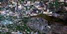
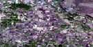
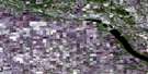
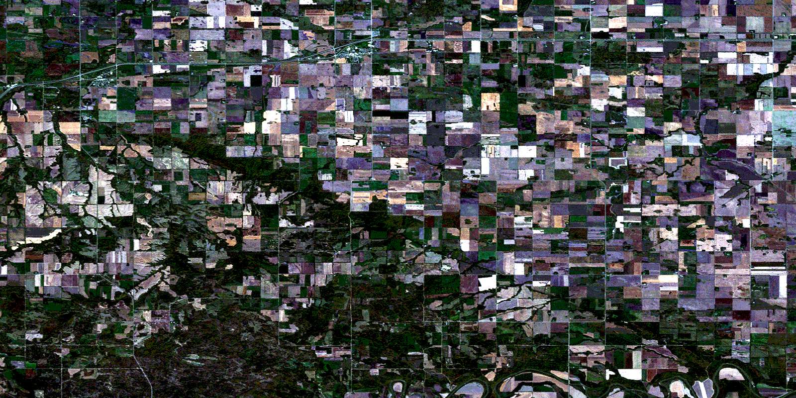
Macgregor Satellite Image Map
Download Free Aerial Photo 062G15 at 1:50,000 scale
Macgregor Satellite Imagery
To view this satellite map, mouse over the air photo on the right.
You can also download this satellite image map for free:
062G15 Macgregor high-resolution satellite image map.
Maps for the Macgregor aerial map sheet 062G15 at 1:50,000 scale are also available in these versions:
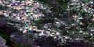
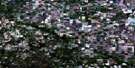
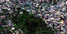
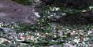
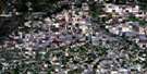
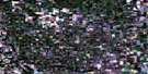
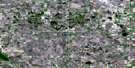
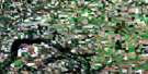
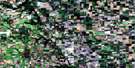
Macgregor Surrounding Area Aerial Photo Maps
 |
 |
 |
 |
 |
 |
 |
 |
 |
 |
 |
 |
 |
 |
 |
 |
© Department of Natural Resources Canada. All rights reserved.
Macgregor Gazetteer
The following places can be found on satellite image map 062G15 Macgregor:
Macgregor Satellite Image: Beaches
Frizzley FlatsMacgregor Satellite Image: Hydraulic construction
Bagot DrainCampbell Drain
Westbourne Drain
Macgregor Satellite Image: Indian Reserves
Dakota Plains 6ALong Plain 6
Long Plain Sioux Indian Reserve 6A
Réserve indienne Long Plain Sioux 6A
Macgregor Satellite Image: Lakes
Hidden Valley LakeMartins Lake
Macgregor Satellite Image: Mountains
Borozny HillHumes Hill
Macgregor Satellite Image: Other municipal/district area - miscellaneous
North NorfolkPortage la Prairie
South Norfolk
Victoria
Macgregor Satellite Image: Plains
Hamiltons FlatsHarlands Flats
Macgregor Satellite Image: Rivers
Assiniboine RiverBagot Creek
Beaver Creek
Fetterly Creek
Image Creek
Rat Creek
Squirrel Creek
West Squirrel Creek
Willow Bend Creek
Willowbend Creek
Macgregor Satellite Image: Road features
Hird BridgeMacgregor Satellite Image: Unincorporated areas
AustinBagot
Caye
Dakota Plains
Deer
Dock
Edwin
Exira
Gateside
Ladysmith
Lavenham
Lelant
Long Plain
Pratt
Rossendale
Macgregor Satellite Image: Low vegetation
Leckies SloughMacgregor Satellite Image: Villages
MacgregorMacGregor
© Department of Natural Resources Canada. All rights reserved.
