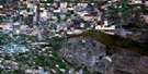
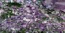
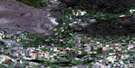
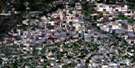
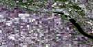
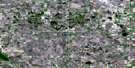
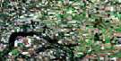
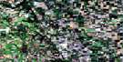
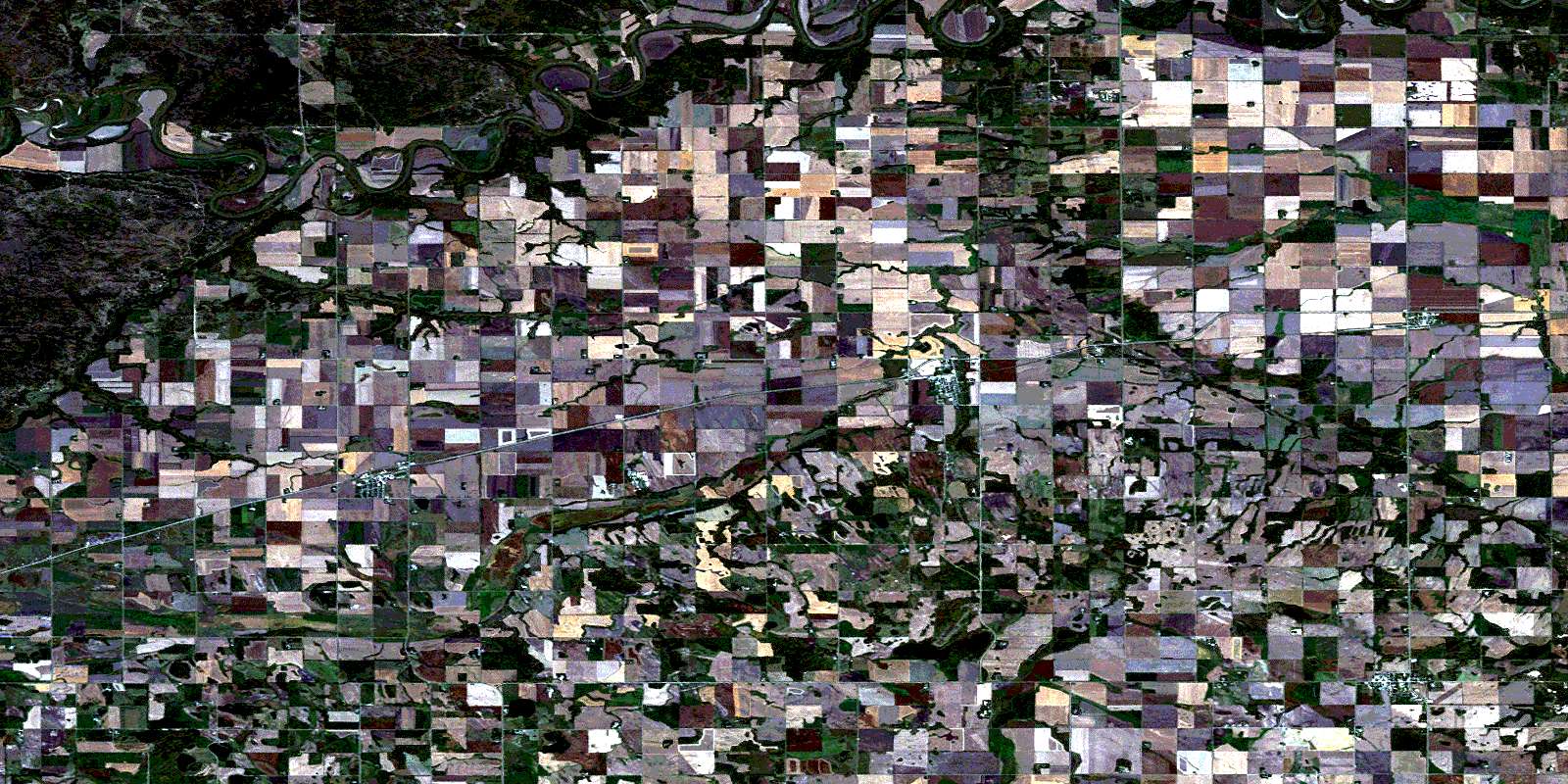
Treherne Satellite Image Map
Download Free Aerial Photo 062G10 at 1:50,000 scale
Treherne Satellite Imagery
To view this satellite map, mouse over the air photo on the right.
You can also download this satellite image map for free:
062G10 Treherne high-resolution satellite image map.
Maps for the Treherne aerial map sheet 062G10 at 1:50,000 scale are also available in these versions:
Treherne Surrounding Area Aerial Photo Maps
 |
 |
 |
 |
 |
 |
 |
 |
 |
 |
 |
 |
 |
 |
 |
 |
© Department of Natural Resources Canada. All rights reserved.
Treherne Gazetteer
The following places can be found on satellite image map 062G10 Treherne:
Treherne Satellite Image: Beaches
Carie FlatsCarrie Flats
Treherne Satellite Image: Hydraulic construction
Tiger Creek DrainTreherne Satellite Image: Indian Reserves
Indian Gardens 8Treherne Satellite Image: Lakes
Agarands LakeAgrunds Lake
Hutlets Lake
Lac Onze
Little Crescent Lake
Mangins Lake
Pellys Lake
Pinkerton Lakes
Treherne Satellite Image: Mountains
Buydens HillPembina Hills
Pembina Mountain
Rutherford Hill
Treherne Satellite Image: Other municipal/district area - miscellaneous
LorneSouth Norfolk
Victoria
Treherne Satellite Image: Conservation areas
Assiniboine Corridor Wildlife Management AreaSpruce Woods Provincial Park
Treherne Satellite Image: Plains
Harlands FlatsHird Flats
Rae Flats
Rankin Flats
Rea Flats
Treherne Satellite Image: Rivers
Assiniboine RiverBoyne River
Cypress River
Joe Ruttle Creek
Rivière Cypress
Treherne Satellite Image: Unincorporated areas
BeaconsfieldHolland
Landseer
Rathwell
Treherne Satellite Image: Valleys
Bears Paw GulchTreherne Satellite Image: Low vegetation
Kergen SloughNorthey Flats
Spitaels Marsh
Treherne Satellite Image: Villages
Notre Dame de LourdesTreherne
© Department of Natural Resources Canada. All rights reserved.
