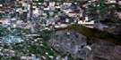
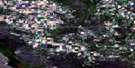
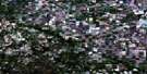
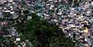
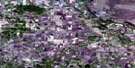
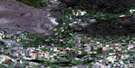
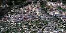
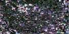
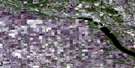
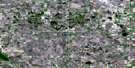
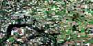
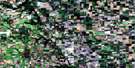
Somerset Satellite Image Map
Download Free Aerial Photo 062G07 at 1:50,000 scale
Somerset Satellite Imagery
To view this satellite map, mouse over the air photo on the right.
You can also download this satellite image map for free:
062G07 Somerset high-resolution satellite image map.
Maps for the Somerset aerial map sheet 062G07 at 1:50,000 scale are also available in these versions:
Somerset Surrounding Area Aerial Photo Maps
 |
 |
 |
 |
 |
 |
 |
 |
 |
 |
 |
 |
 |
 |
 |
 |
© Department of Natural Resources Canada. All rights reserved.
Somerset Gazetteer
The following places can be found on satellite image map 062G07 Somerset:
Somerset Satellite Image: Capes
Stony PointSomerset Satellite Image: Cliffs
Côte BeaulieuSomerset Satellite Image: Hydraulic construction
Mary Jane DamSomerset Satellite Image: Indian Reserves
Swan Lake 7Somerset Satellite Image: Lakes
Balfours LakeBarbours Lake
Blackburns Lake
Cabernel Lakes
De Pauws Lake
De Vos Lake
DeRuyck Lake
Deschouwer Lake
Fraser Lake
Heatherington Lake
Hutlets Lake
Jeffs Lake
Lac Edouard
Lac Labossiere
Lac Labossière
Lac Monseigneur
Lac Rondeau
Lac St. Leon
Lake Seven
Mary Jane Reservoir
Messner Lake
Rigaux Lake
Salt Lake
Simoens Lake
Stevens Lake
Swan Lake
Somerset Satellite Image: Mountains
Ansell HillBuydens Hill
Hirst Hill
Mount Royal
Pembina Hills
Pembina Mountain
Tiger Hills
Verdigen Hill
Somerset Satellite Image: Other municipal/district area - miscellaneous
LorneLouise
Pembina
Somerset Satellite Image: Conservation areas
Pembina Valley Wildlife Management AreaSomerset Satellite Image: Rivers
Cypress RiverDry River
Hammonds Creek
Lyles Creek
Mary Jane Creek
McCoys Creek
Pembina River
Princes Creek
Rivière Pembina
Roseisle Creek
Somerset Creek
Syndicate Creek
Somerset Satellite Image: River features
Grand ForksThe Horseshoe
Somerset Satellite Image: Road features
Creamery BridgeVassarts Bridge
Somerset Satellite Image: Unincorporated areas
BinneyBruxelles
Cardinal
Hubbell
Indian Springs
Kingsley
Mariapolis
Risteen
St. Leon
Swan Lake
Swan Lake Reserve
Wood Bay
Somerset Satellite Image: Valleys
Bourques RavinePembina Valley
Snow Valley
Somerset Satellite Image: Low vegetation
Beechs SloughBirnie Sloughs
Bourques Slough
Browns Slough
Clements Slough
Closs Slough
Demare Slough
Desrochers Slough
Grassick Slough
Grassy Marsh
Hughson Slough
Jackson Slough
Kemp Slough
Kester Sloughs
Mogridge Slough
Munro Sloughs
Nivon Slough
Roeland Sloughs
Roelands Sloughs
Spitaels Marsh
Somerset Satellite Image: Villages
Somerset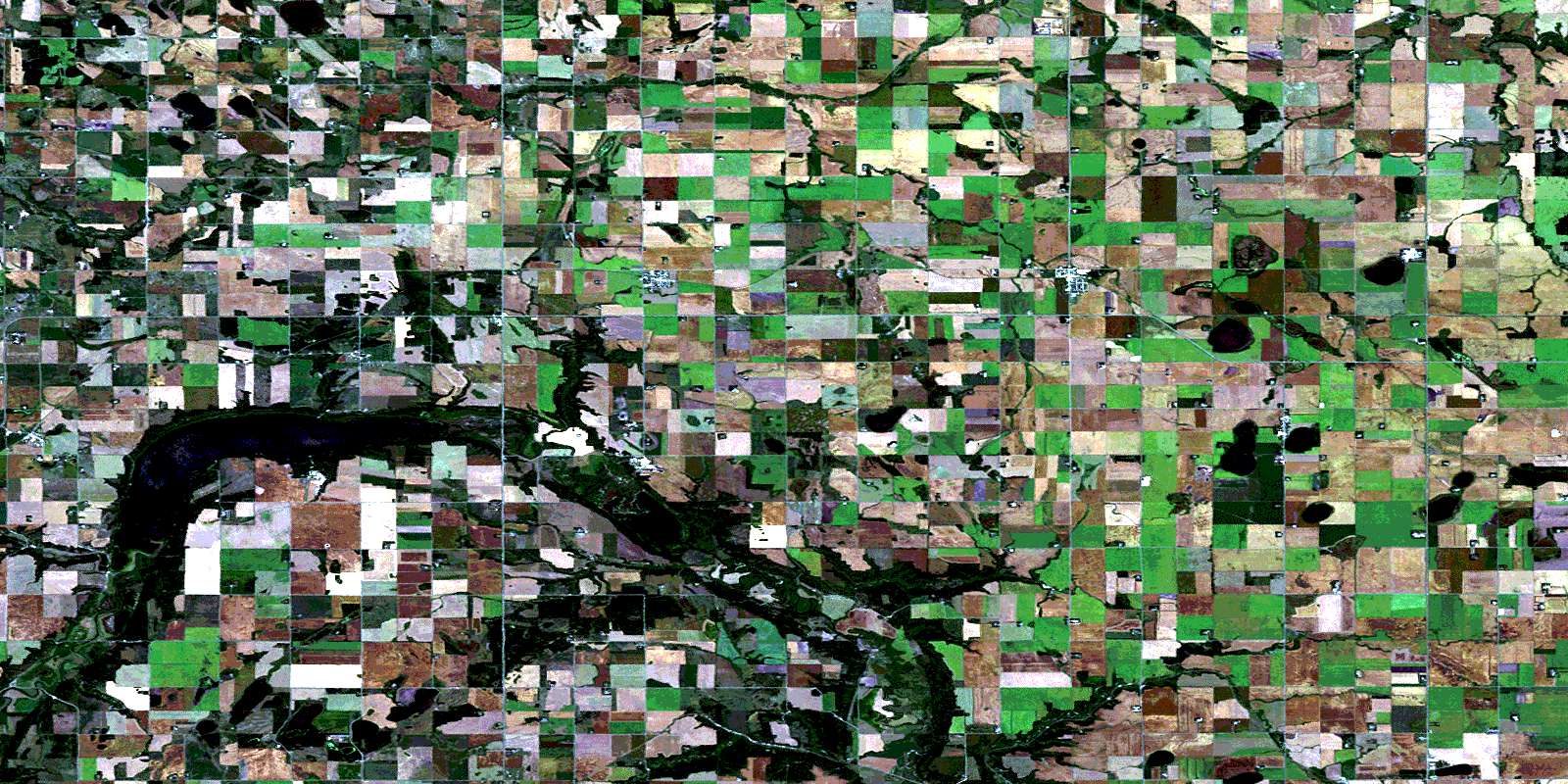
© Department of Natural Resources Canada. All rights reserved.
