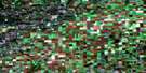
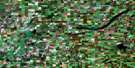
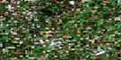
Wakaw Satellite Image Map
Download Free Aerial Photo 073A12 at 1:50,000 scale
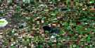
Wakaw Satellite Imagery
To view this satellite map, mouse over the air photo on the right.
You can also download this satellite image map for free:
073A12 Wakaw high-resolution satellite image map.
Maps for the Wakaw aerial map sheet 073A12 at 1:50,000 scale are also available in these versions:
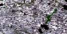
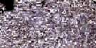
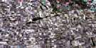
Wakaw Surrounding Area Aerial Photo Maps
 |
 |
 |
 |
 |
 |
 |
 |
 |
 |
 |
 |
 |
 |
 |
 |
© Department of Natural Resources Canada. All rights reserved.
Wakaw Gazetteer
The following places can be found on satellite image map 073A12 Wakaw:
Wakaw Satellite Image: Hamlets
Balone BeachCudsaskwa Beach
Wakaw Satellite Image: Indian Reserves
One Arrow 95-1COne Arrow 95-1E
One Arrow 95-1H
Wakaw Satellite Image: Lakes
Anna LakeArn Lake
Bonne Madone Lake
Constance Lake
Hoodoo Lakes
Jolly Lake
Lac Lezard
Lepine Lake
Mallard Lake
Olivier Lake
Salinaty Lake
Vier Lake
Wakaw Lake
Weixl Lake
Wakaw Satellite Image: Mountains
Minichinas HillsWakaw Satellite Image: Other municipal/district area - miscellaneous
Fish Creek No. 402Hoodoo No. 401
St. Louis No. 431
Wakaw Satellite Image: Conservation areas
Wakaw Lake Regional ParkWakaw Satellite Image: Rivers
Carrot RiverWakaw Satellite Image: Towns
WakawWakaw Satellite Image: Unincorporated areas
CarpenterDomremy Beach
Ens
Hoodoo
Leofnard
Lepine
Nelson Beach
Sokal
St. Julien
St. Julien
Wakaw Satellite Image: Villages
Wakaw Lake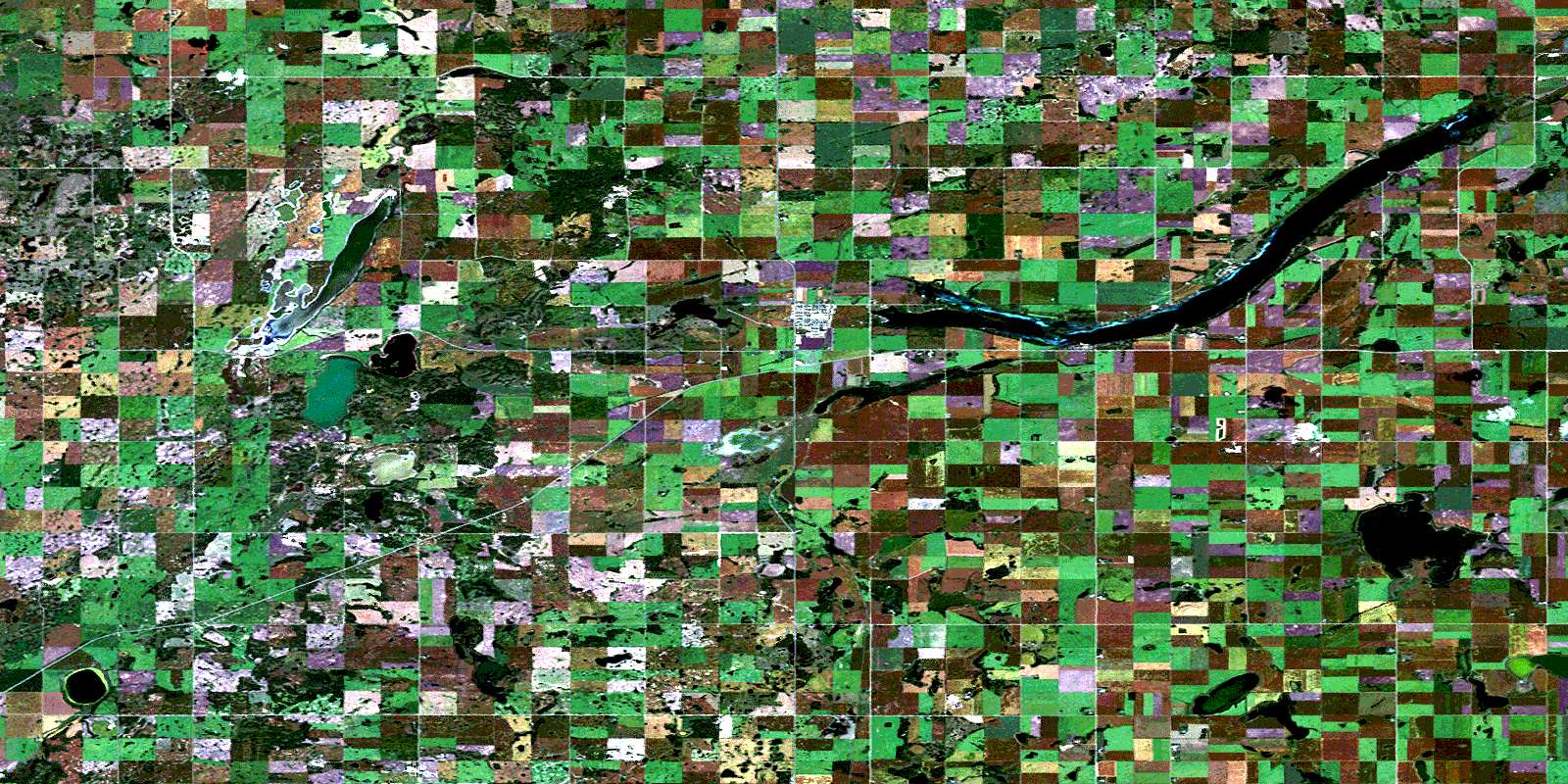
© Department of Natural Resources Canada. All rights reserved.
