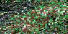
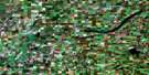
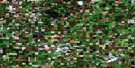
Lake Lenore Satellite Image Map
Download Free Aerial Photo 073A07 at 1:50,000 scale
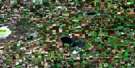
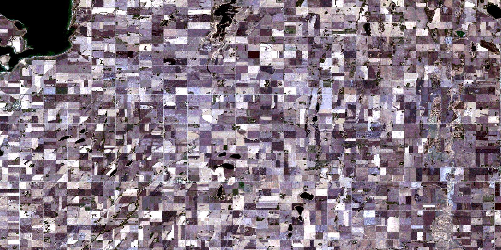
Lake Lenore Satellite Imagery
To view this satellite map, mouse over the air photo on the right.
You can also download this satellite image map for free:
073A07 Lake Lenore high-resolution satellite image map.
Maps for the Lake Lenore aerial map sheet 073A07 at 1:50,000 scale are also available in these versions:
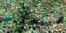
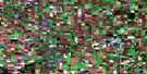
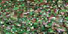
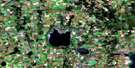
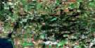
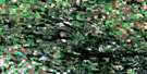
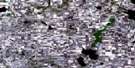
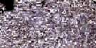
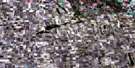
Lake Lenore Surrounding Area Aerial Photo Maps
 |
 |
 |
 |
 |
 |
 |
 |
 |
 |
 |
 |
 |
 |
 |
 |
© Department of Natural Resources Canada. All rights reserved.
Lake Lenore Gazetteer
The following places can be found on satellite image map 073A07 Lake Lenore:
Lake Lenore Satellite Image: Islands
Raven IslandLake Lenore Satellite Image: Lakes
Delaine LakeErrol Lake
Freyling Lake
Hagerty Lake
Johns Lake
Lac Vert
Lenore Lake
Lewis Lake
Pappenfus Lake
Pearce Lake
Ranch Lake
Rupert Lake
Schmitz Lake
Vanderlinde Lake
Lake Lenore Satellite Image: Other municipal/district area - miscellaneous
Lake Lenore No. 399Pleasantdale No. 398
Spalding No. 368
St. Peter No. 369
Three Lakes No. 400
Lake Lenore Satellite Image: Conservation areas
Lenore Lake Bird SanctuaryRaven Island National Wildlife Area
Refuge d'oiseaux du lac Lenore
Réserve nationale de faune de l'Île-Raven
Lake Lenore Satellite Image: Rivers
Lenore BrookRanch Creek
Lake Lenore Satellite Image: Towns
NaicamLake Lenore Satellite Image: Villages
AnnaheimLake Lenore
Spalding
© Department of Natural Resources Canada. All rights reserved.
