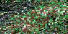
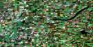
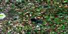
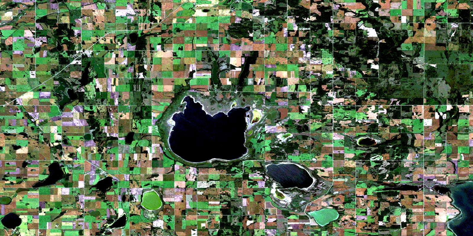
Basin Lake Satellite Image Map
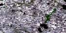
Download Free Aerial Photo 073A11 at 1:50,000 scale
Basin Lake Satellite Imagery
To view this satellite map, mouse over the air photo on the right.
You can also download this satellite image map for free:
073A11 Basin Lake high-resolution satellite image map.
Maps for the Basin Lake aerial map sheet 073A11 at 1:50,000 scale are also available in these versions:
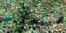
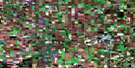
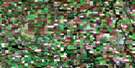
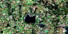
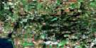
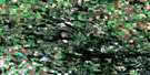
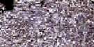
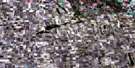
Basin Lake Surrounding Area Aerial Photo Maps
 |
 |
 |
 |
 |
 |
 |
 |
 |
 |
 |
 |
 |
 |
 |
 |
© Department of Natural Resources Canada. All rights reserved.
Basin Lake Gazetteer
The following places can be found on satellite image map 073A11 Basin Lake:
Basin Lake Satellite Image: Hamlets
ReynaudTway
Basin Lake Satellite Image: Islands
Hare IslandPelican Island
Basin Lake Satellite Image: Lakes
Anita LakeAnna Lake
Arthur Lake
Basin Lake
Bill Lake
Bruno Lake
Elkona Lake
Enid Lake
Evelyn Lake
Gyp Lake
Hazel Lake
Ignace Lake
Jolly Lake
Kenure Lake
Lenore Lake
Leroy Lake
Little Moose Lake
Louis Lake
Lucien Lake
Marg Lake
Marie Lake
Mart Lake
Maude Lake
McCaw Lake
McIntyre Lake
Middle Lake
Nyuli Lake
Olivier Lake
Rhona Lake
Sayer Lake
Shannon Lake
Siba Lake
Tway Lake
Van Lake
Winona Lake
Zeno Lake
Basin Lake Satellite Image: Other municipal/district area - miscellaneous
Flett's Springs No. 429Hoodoo No. 401
Invergordon No. 430
Lake Lenore No. 399
Three Lakes No. 400
Basin Lake Satellite Image: Conservation areas
Basin and Middle Lakes Bird SanctuaryLenore Lake Bird Sanctuary
Refuge d'oiseaux des lacs Basin et Middle
Refuge d'oiseaux du lac Lenore
Réserve nationale de faune de Tway
Tway National Wildlife Area
Basin Lake Satellite Image: Rivers
Carrot RiverColdwell Creek
Basin Lake Satellite Image: Unincorporated areas
Bonne MadoneLake Ignace
Tarnopol
Verndale
Basin Lake Satellite Image: Villages
St. BenedictYellow Creek
© Department of Natural Resources Canada. All rights reserved.
