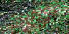
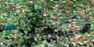
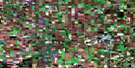
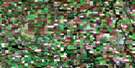
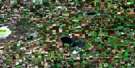
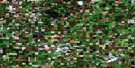
Naicam Satellite Image Map
Download Free Aerial Photo 073A08 at 1:50,000 scale
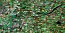
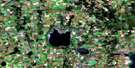
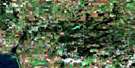
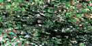
Naicam Satellite Imagery
To view this satellite map, mouse over the air photo on the right.
You can also download this satellite image map for free:
073A08 Naicam high-resolution satellite image map.
Maps for the Naicam aerial map sheet 073A08 at 1:50,000 scale are also available in these versions:
Naicam Surrounding Area Aerial Photo Maps
 |
 |
 |
 |
 |
 |
 |
 |
 |
 |
 |
 |
 |
 |
 |
 |
© Department of Natural Resources Canada. All rights reserved.
Naicam Gazetteer
The following places can be found on satellite image map 073A08 Naicam:
Naicam Satellite Image: Hamlets
Lac VertLac-Vert
Naicam Satellite Image: Indian Reserves
Kinistin 91AKinistino Indian Reserve 91A
Réserve indienne Kinistino 91A
Naicam Satellite Image: Lakes
Cadot LakeCharron Lake
Echo Lake
Edouard Lake
George Williams Lake
Gosselin Lake
Hubbell Lake
Johnson Lake
Kinistino Lake
Kitako Lake
Knutson Lake
Lac Vert
Lac Vert Nord
Lemoine Lake
McKnight Lake
Ponass Lake
Ponass Lakes
Sunset Lake
Naicam Satellite Image: Other municipal/district area - miscellaneous
Barrier Valley No. 397Pleasantdale No. 398
Ponass Lake No. 367
Spalding No. 368
Naicam Satellite Image: Conservation areas
Charron Lake Game PreserveLake Charron Regional Park
Naicam Satellite Image: Rivers
Barrier RiverQuill Creek
Naicam Satellite Image: Towns
NaicamNaicam Satellite Image: Unincorporated areas
CuvierDahlton
Saint-Front
Sunset Lake
Naicam Satellite Image: Villages
Spalding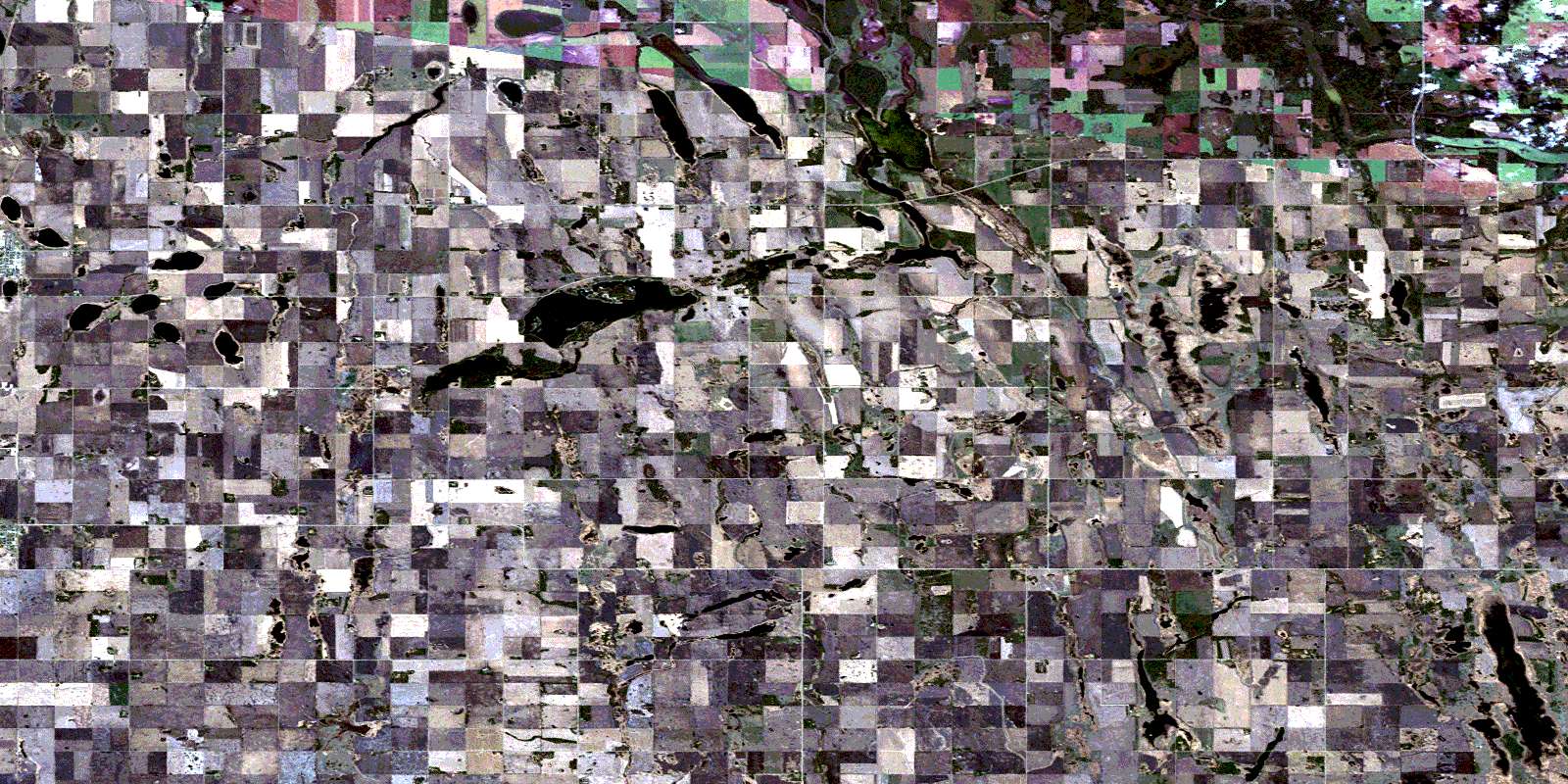
© Department of Natural Resources Canada. All rights reserved.
