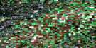
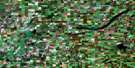
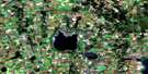
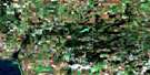
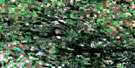
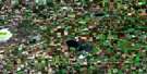
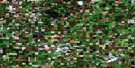
Tisdale Satellite Image Map
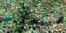
Download Free Aerial Photo 073A16 at 1:50,000 scale
Tisdale Satellite Imagery
To view this satellite map, mouse over the air photo on the right.
You can also download this satellite image map for free:
073A16 Tisdale high-resolution satellite image map.
Maps for the Tisdale aerial map sheet 073A16 at 1:50,000 scale are also available in these versions:
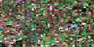
Tisdale Surrounding Area Aerial Photo Maps
 |
 |
 |
 |
 |
 |
 |
 |
 |
 |
 |
 |
 |
 |
 |
 |
© Department of Natural Resources Canada. All rights reserved.
Tisdale Gazetteer
The following places can be found on satellite image map 073A16 Tisdale:
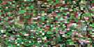
Tisdale Satellite Image: Other municipal/district area - miscellaneous
Connaught No. 457Star City No. 428
Tisdale No. 427
Willow Creek No. 458
Tisdale Satellite Image: Conservation areas
Tisdale and District Regional ParkTisdale Satellite Image: Rivers
Doghide RiverHanginghide Creek
Leather River
Presbyterian River
Sweetwater Creek
Tisdale Satellite Image: Towns
Star CityTisdale
Tisdale Satellite Image: Unincorporated areas
BrooksbyFord
Golburn
Irvington
Lurgan
Naisberry
Runciman
South Melfort
Whittome
Willow Springs
Tisdale Satellite Image: Villages
Valparaiso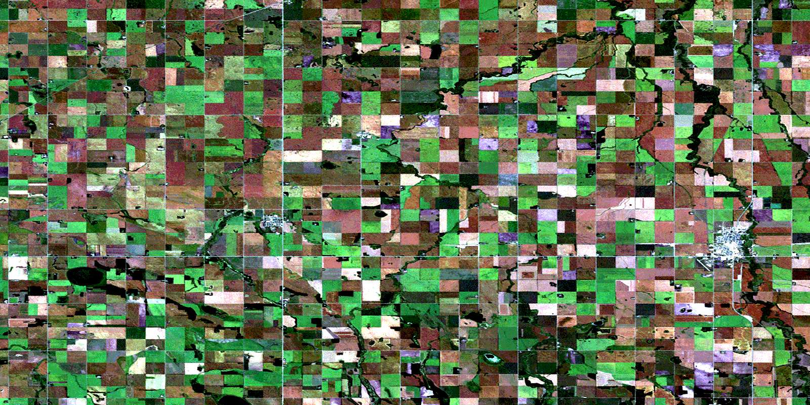
© Department of Natural Resources Canada. All rights reserved.
