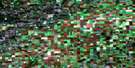
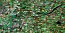
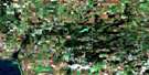
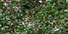
Sylvania Satellite Image Map
Download Free Aerial Photo 073A09 at 1:50,000 scale
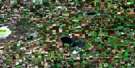
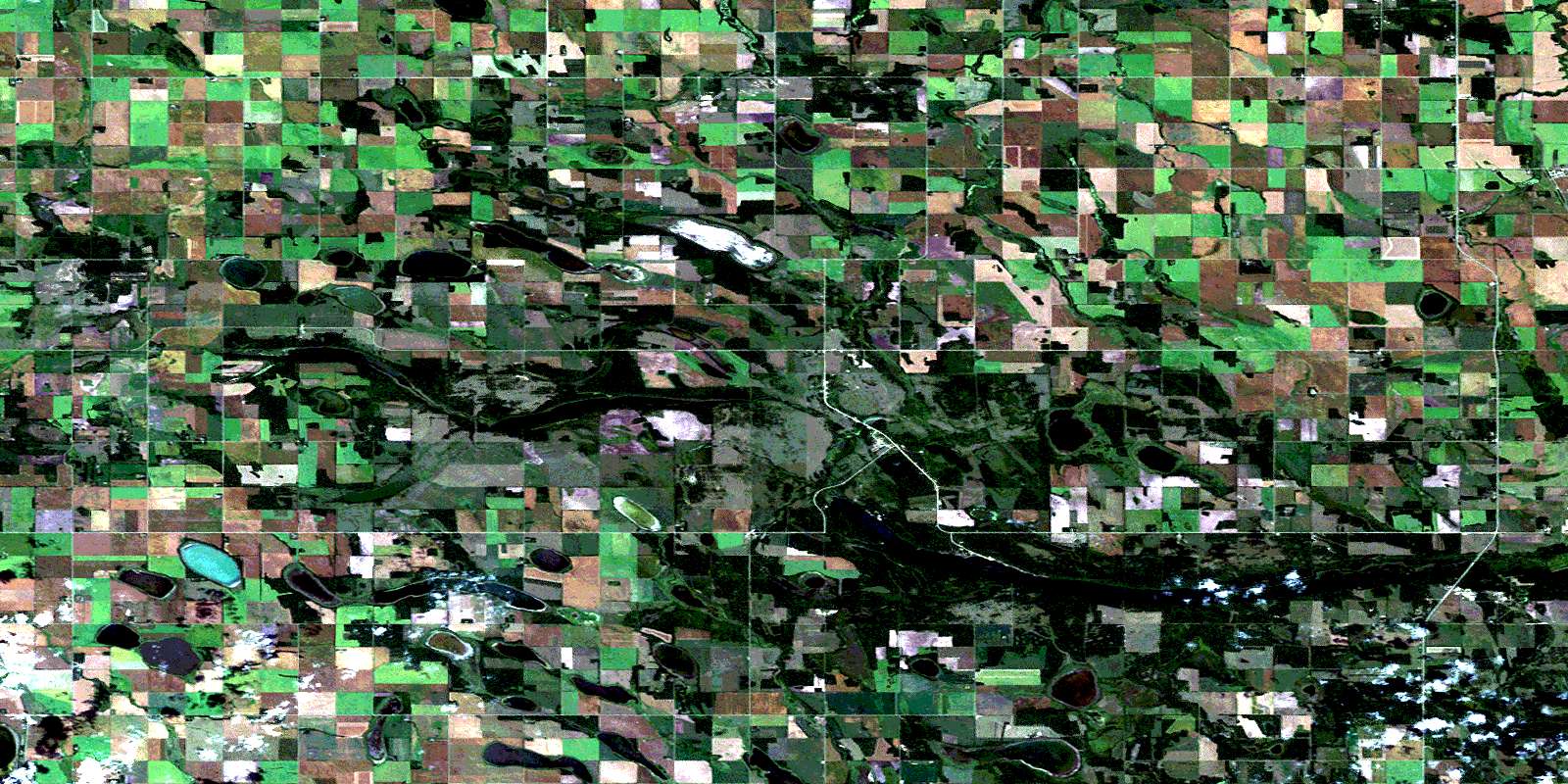
Sylvania Satellite Imagery
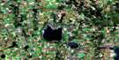
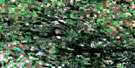
To view this satellite map, mouse over the air photo on the right.
You can also download this satellite image map for free:
073A09 Sylvania high-resolution satellite image map.
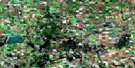
Maps for the Sylvania aerial map sheet 073A09 at 1:50,000 scale are also available in these versions:
Sylvania Surrounding Area Aerial Photo Maps
 |
 |
 |
 |
 |
 |
 |
 |
 |
 |
 |
 |
 |
 |
 |
 |
© Department of Natural Resources Canada. All rights reserved.
Sylvania Gazetteer
The following places can be found on satellite image map 073A09 Sylvania:
Sylvania Satellite Image: Hamlets
Lac VertLac-Vert
Sylvania
Sylvania Satellite Image: Indian Reserves
Kinistin 91Kinistino Indian Reserve 91
Réserve indienne Kinistino 91
Sylvania Satellite Image: Lakes
Bell's LakeBurnett Lake
Clearwater Lake
Furgstrum Lake
Gilkey Lake
Kinistino Lake
Kipabiskau Lake
Knutson Lake
Kwatapiu Lake
Lac Vert Nord
Lawley Lake
Laytons Lake
Linstrum Lake
McArthur Lake
McPhail Lake
Mizhashk Lake
Mossdale Lake
Nikik Lake
Olsons Lake
Pentland Lake
Perch Lake
Pingwi Lake
Prost Lake
Sandy Beach Lake
Semple Lake
Spence Lake
Stewarts Lake
Wading Eagle Lake
Wascana Lake
Woods Lake
Sylvania Satellite Image: Other municipal/district area - miscellaneous
Barrier Valley No. 397Pleasantdale No. 398
Star City No. 428
Tisdale No. 427
Sylvania Satellite Image: Conservation areas
Kipabiskau Regional ParkSylvania Satellite Image: Rivers
Barrier RiverHanginghide Creek
Leather River
Slough Creek
Sylvania Satellite Image: Unincorporated areas
ChagonessKipabiskau
Lightwoods
South Star
Twickenham
Wallwort
Willow Hill
© Department of Natural Resources Canada. All rights reserved.
