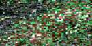
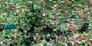
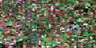
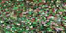
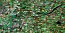
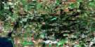
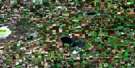
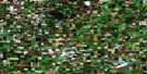
Melfort Satellite Image Map
Download Free Aerial Photo 073A15 at 1:50,000 scale
Melfort Satellite Imagery
To view this satellite map, mouse over the air photo on the right.
You can also download this satellite image map for free:
073A15 Melfort high-resolution satellite image map.
Maps for the Melfort aerial map sheet 073A15 at 1:50,000 scale are also available in these versions:
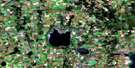
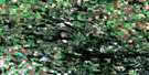
Melfort Surrounding Area Aerial Photo Maps
 |
 |
 |
 |
 |
 |
 |
 |
 |
 |
 |
 |
 |
 |
 |
 |
© Department of Natural Resources Canada. All rights reserved.
Melfort Gazetteer
The following places can be found on satellite image map 073A15 Melfort:
Melfort Satellite Image: City
MelfortMelfort Satellite Image: Lakes
Coon LakeMansell Lake
Stinking Lakes
Melfort Satellite Image: Other municipal/district area - miscellaneous
Flett's Springs No. 429Kinistino No. 459
Star City No. 428
Willow Creek No. 458
Melfort Satellite Image: Conservation areas
Melfort and District Regional ParkMelfort Satellite Image: Rivers
Carrot RiverFlett Creek
Goosehunting Creek
Melfort Creek
Thatch Creek
Melfort Satellite Image: Unincorporated areas
ClaggettClemens
Ethelton
Flett Springs
Lipsett
McMichael
Pleasant Valley
Taylorside
Thaxted
Whittome
Melfort Satellite Image: Villages
Beatty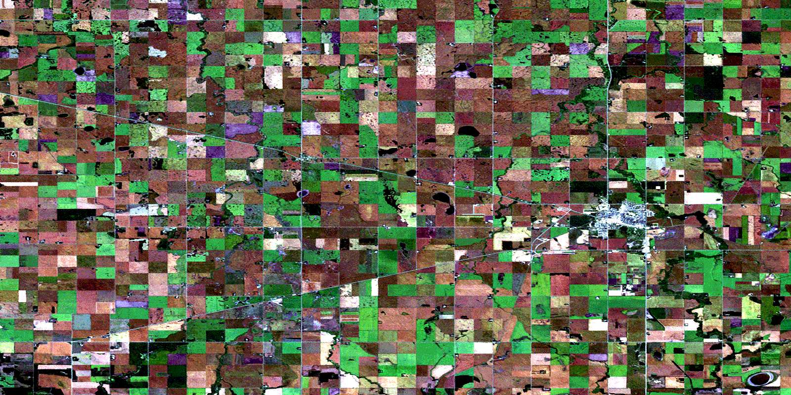
© Department of Natural Resources Canada. All rights reserved.
