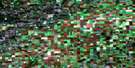
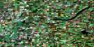
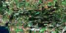
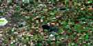
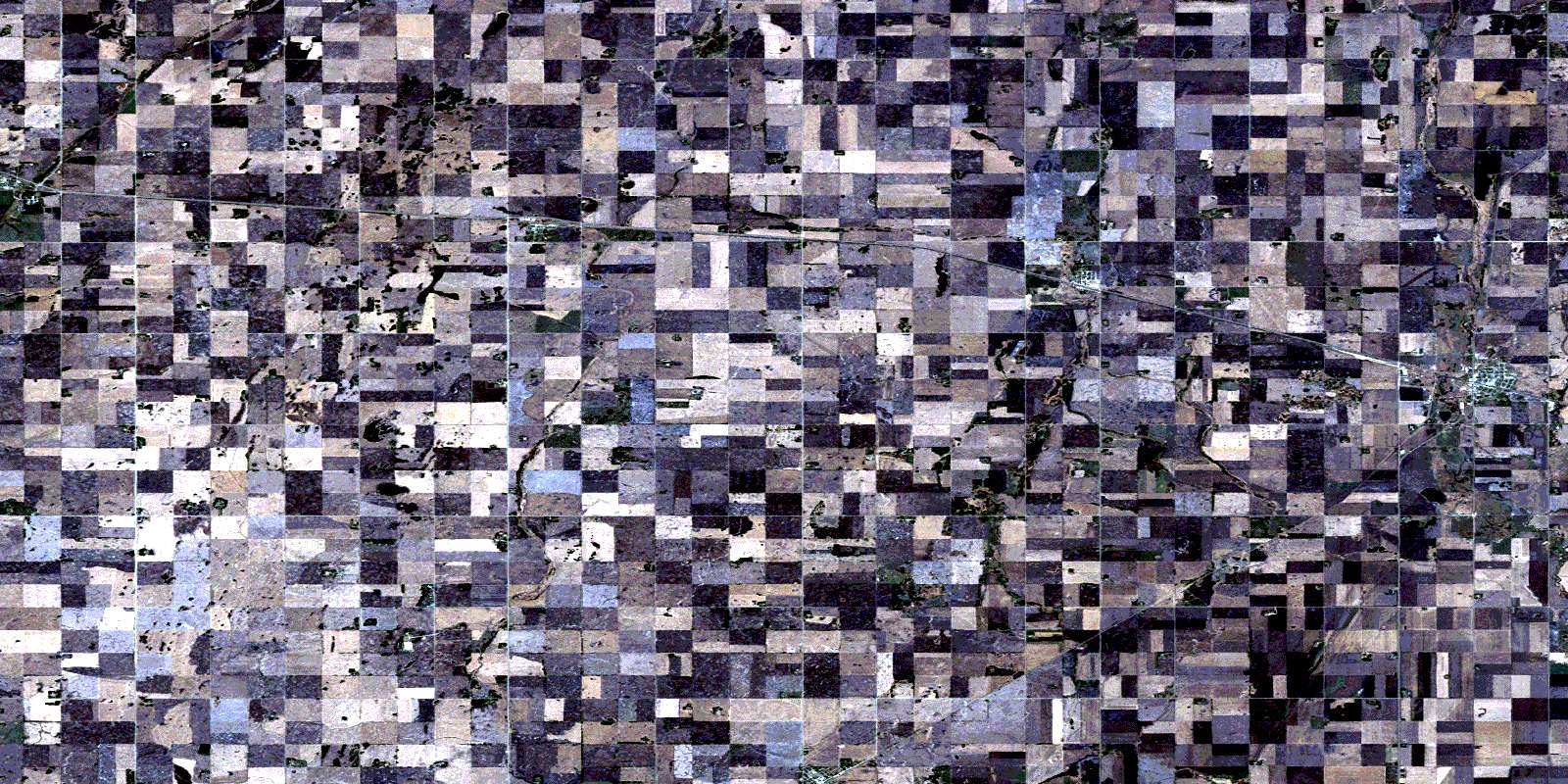
Watson Satellite Image Map
Download Free Aerial Photo 073A02 at 1:50,000 scale
Watson Satellite Imagery
To view this satellite map, mouse over the air photo on the right.
You can also download this satellite image map for free:
073A02 Watson high-resolution satellite image map.
Maps for the Watson aerial map sheet 073A02 at 1:50,000 scale are also available in these versions:
Watson Surrounding Area Aerial Photo Maps
 |
 |
 |
 |
 |
 |
 |
 |
 |
 |
 |
 |
 |
 |
 |
 |
© Department of Natural Resources Canada. All rights reserved.
Watson Gazetteer
The following places can be found on satellite image map 073A02 Watson:
Watson Satellite Image: Lakes
Luse LakeWatson Satellite Image: Other municipal/district area - miscellaneous
Lakeside No. 338Leroy No. 339
Spalding No. 368
St. Peter No. 369
Watson Satellite Image: Conservation areas
McNab Regional ParkSt. Peter Game Preserve
Watson Satellite Image: Rivers
Ironspring CreekLanigan Creek
Wolverine Creek
Watson Satellite Image: Towns
LeroyWatson
Watson Satellite Image: Unincorporated areas
DaphneRomance
Shady Grove
Watson Satellite Image: Villages
EnglefeldMuenster
St. Gregor
© Department of Natural Resources Canada. All rights reserved.
