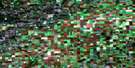
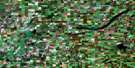
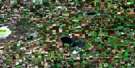
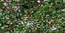
Domremy Satellite Image Map
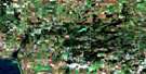
Download Free Aerial Photo 073A13 at 1:50,000 scale
Domremy Satellite Imagery
To view this satellite map, mouse over the air photo on the right.
You can also download this satellite image map for free:
073A13 Domremy high-resolution satellite image map.
Maps for the Domremy aerial map sheet 073A13 at 1:50,000 scale are also available in these versions:
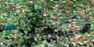
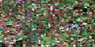
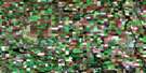
Domremy Surrounding Area Aerial Photo Maps
 |
 |
 |
 |
 |
 |
 |
 |
 |
 |
 |
 |
 |
 |
 |
 |
© Department of Natural Resources Canada. All rights reserved.
Domremy Gazetteer
The following places can be found on satellite image map 073A13 Domremy:
Domremy Satellite Image: Hamlets
DomremyHagen
Hoey
Meskanaw
St. Isidore-de-Bellevue
Domremy Satellite Image: Indian Reserves
One Arrow 95-1FDomremy Satellite Image: Islands
Sugar IslandTraill Island
Domremy Satellite Image: Lakes
Jumping LakeLac Chicot
Lac Chitac
Lac de Jonc
Little Crooked Lake
Pelican Lake
Virgin Lake
Domremy Satellite Image: Mountains
Birch HillsManatinaw Hill
Domremy Satellite Image: Other municipal/district area - miscellaneous
Birch Hills No. 460Hoodoo No. 401
Prince Albert No. 461
St. Louis No. 431
Domremy Satellite Image: Conservation areas
Wakaw Lake Regional ParkDomremy Satellite Image: Rivers
McKay CreekRivière Saskatchewan Sud
South Saskatchewan River
Domremy Satellite Image: Unincorporated areas
LecoqNorthern Light
Northway
Spring Grove
Domremy Satellite Image: Villages
St. Louis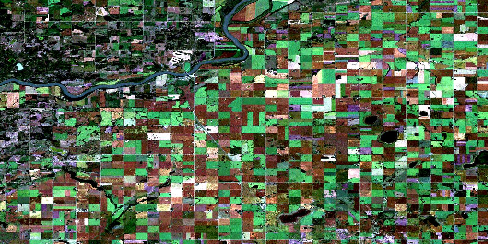
© Department of Natural Resources Canada. All rights reserved.
