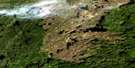
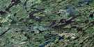
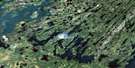
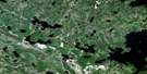
Morin Lake Satellite Image Map
Download Free Aerial Photo 073P04 at 1:50,000 scale
Morin Lake Satellite Imagery
To view this satellite map, mouse over the air photo on the right.
You can also download this satellite image map for free:
073P04 Morin Lake high-resolution satellite image map.
Maps for the Morin Lake aerial map sheet 073P04 at 1:50,000 scale are also available in these versions:
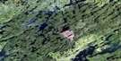
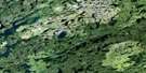
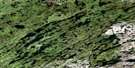
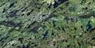
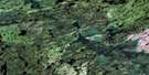
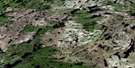
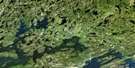
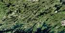
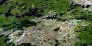
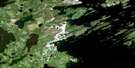
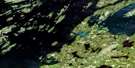
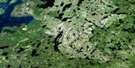
Morin Lake Surrounding Area Aerial Photo Maps
 |
 |
 |
 |
 |
 |
 |
 |
 |
 |
 |
 |
 |
 |
 |
 |
© Department of Natural Resources Canada. All rights reserved.
Morin Lake Gazetteer
The following places can be found on satellite image map 073P04 Morin Lake:
Morin Lake Satellite Image: Bays
Gropp BayRawson Bay
Wawe Bay
Morin Lake Satellite Image: Capes
McLean PointMorin Lake Satellite Image: Indian Reserves
Morin Lake 217Morin Lake Satellite Image: Islands
Matheson IslandMorin Lake Satellite Image: Lakes
Britnell LakeEgg Lake
Hall Lake
Head Lake
Livergant Lake
Morin Lake
Nemeiben Lake
Partridge Crop Lake
Sanderson Lake
Sikachu Lake
Stowers Lake
Morin Lake Satellite Image: Rivers
McIllree RiverMontreal River
Pine Brook
Pisew Creek

© Department of Natural Resources Canada. All rights reserved.
073P Related Maps:
073P Lac La Ronge073P01 Cartier Lake
073P02 Hunter Bay
073P03 La Ronge
073P04 Morin Lake
073P05 Morning Lake
073P06 Nemeiben Lake
073P07 Stanley Mission
073P08 Nistowiak Lake
073P09 Guncoat Bay
073P10 Otter Lake
073P11 Kavanagh Lake
073P12 Black Bear Island Lake
073P13 Eulas Lake
073P14 Mctavish Lake
073P15 Forbes Lake
073P16 Settee Lake
