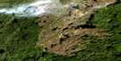
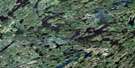
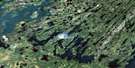
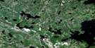
Nistowiak Lake Satellite Image Map
Download Free Aerial Photo 073P08 at 1:50,000 scale
Nistowiak Lake Satellite Imagery
To view this satellite map, mouse over the air photo on the right.
You can also download this satellite image map for free:
073P08 Nistowiak Lake high-resolution satellite image map.
Maps for the Nistowiak Lake aerial map sheet 073P08 at 1:50,000 scale are also available in these versions:
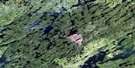
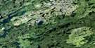
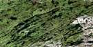
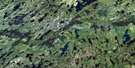
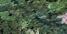
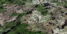
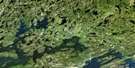
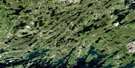
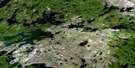
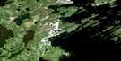
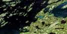
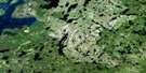
Nistowiak Lake Surrounding Area Aerial Photo Maps
 |
 |
 |
 |
 |
 |
 |
 |
 |
 |
 |
 |
 |
 |
 |
 |
© Department of Natural Resources Canada. All rights reserved.
Nistowiak Lake Gazetteer
The following places can be found on satellite image map 073P08 Nistowiak Lake:
Nistowiak Lake Satellite Image: Bays
Alexander BayBliss Bay
Brown Bay
Grant Bay
Hunter Bay
Lamont Bay
MacDiarmid Bay
MacPherson Bay
Marten Bay
Mathieu Bay
McGillivray Bay
McMorris Bay
O'Brien Bay
Pothole Bay
Purmal Bay
Rabbit Bay
Stewart Bay
Thorpe Bay
Wium Bay
Nistowiak Lake Satellite Image: Capes
Dale PeninsulaHopkins Peninsula
Patterson Peninsula
Reed Peninsula
Nistowiak Lake Satellite Image: Channels
Frog NarrowsInman Channel
Nistowiak Lake Satellite Image: Falls
Hunter FallsNistowiak Falls
Nistowiak Lake Satellite Image: Indian Reserves
Stanley 157ANistowiak Lake Satellite Image: Islands
Abram IslandBettin Island
Bowering Island
Carr Island
Fulton Island
George Island
Grennan Island
Hall Island
Hayworth Island
Healy Island
Hickson Island
Hopton Island
Loveridge Island
McCusker Island
O'Brien Island
Penner Island
Reed Island
Nistowiak Lake Satellite Image: Lakes
Adilman LakeBaldwin Lake
Big Whitemoose Lake
Boe Lake
Boland Lake
Cline Lake
Clout Lake
Coghill Lake
Culham Lake
Cumming Lake
Drinking Lake
Drope Lake
Fault Lake
Forrester Lake
Hale Lake
Hetherington Lakes
Hidlebaugh Lake
Iskwatikan Lake
Kato Lake
Keg Lake
Lac la Ronge
Linder Lake
Linton Lake
Little Whitemoose Lake
Lucyk Lake
Masson Lake
Mountain Lake
Nistowiak Lake
Nunn Lake
Peat Lake
Penney Lake
Pitching Lake
Rebbeck Lake
Renton Lake
Salkeld Lake
Shortridge Lake
Teepee Lake
Thomas Lake
Tyman Lake
Wapawukaw Lake
Nistowiak Lake Satellite Image: Conservation areas
Lac la Ronge ParkNistowiak Lake Satellite Image: Rapids
Fisher RapidsGrant Rapids
Lehman Rapids
Morris Rapids
Potter Rapids
Reed Rapids
Stanley Rapids
Nistowiak Lake Satellite Image: Rivers
Churchill RiverDrinking River
Rapid River
Rivière Churchill
Whitemoose River
Nistowiak Lake Satellite Image: Road features
Island Portage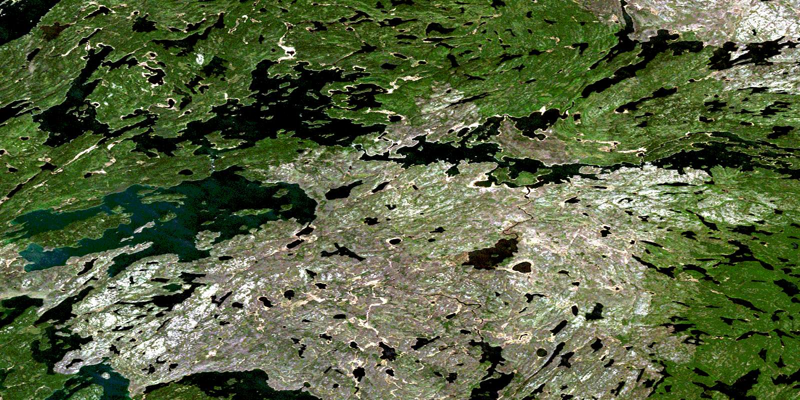
© Department of Natural Resources Canada. All rights reserved.
073P Related Maps:
073P Lac La Ronge073P01 Cartier Lake
073P02 Hunter Bay
073P03 La Ronge
073P04 Morin Lake
073P05 Morning Lake
073P06 Nemeiben Lake
073P07 Stanley Mission
073P08 Nistowiak Lake
073P09 Guncoat Bay
073P10 Otter Lake
073P11 Kavanagh Lake
073P12 Black Bear Island Lake
073P13 Eulas Lake
073P14 Mctavish Lake
073P15 Forbes Lake
073P16 Settee Lake
