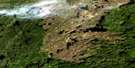
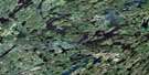
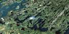
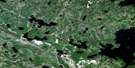
Nemeiben Lake Satellite Image Map
Download Free Aerial Photo 073P06 at 1:50,000 scale
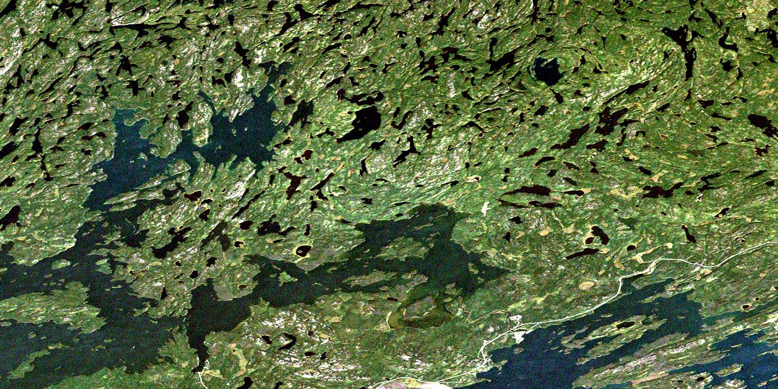
Nemeiben Lake Satellite Imagery
To view this satellite map, mouse over the air photo on the right.
You can also download this satellite image map for free:
073P06 Nemeiben Lake high-resolution satellite image map.
Maps for the Nemeiben Lake aerial map sheet 073P06 at 1:50,000 scale are also available in these versions:
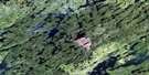
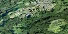
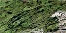
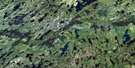
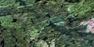
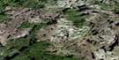
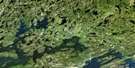
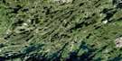
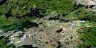
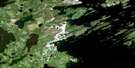
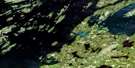
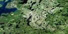
Nemeiben Lake Surrounding Area Aerial Photo Maps
 |
 |
 |
 |
 |
 |
 |
 |
 |
 |
 |
 |
 |
 |
 |
 |
© Department of Natural Resources Canada. All rights reserved.
Nemeiben Lake Gazetteer
The following places can be found on satellite image map 073P06 Nemeiben Lake:
Nemeiben Lake Satellite Image: Bays
Bague BayBell Bay
Cuelenaere Bay
Mooney Bay
North Bay
Ore Bay
Rawson Bay
Reynolds Bay
Wadin Bay
Nemeiben Lake Satellite Image: Capes
Clark PeninsulaMunroe Peninsula
Stewart Peninsula
Thompson Peninsula
Williams Peninsula
Nemeiben Lake Satellite Image: Indian Reserves
Nemebien River Indian Reserve 156CRéserve indienne Nemebien River 156C
Sucker River 156C
Nemeiben Lake Satellite Image: Islands
Eliason IslandLindskog Island
McBeth Island
Moysey Island
Plaxton Island
Speirs Island
Sunset Island
Thorson Island
Whitmore Island
Nemeiben Lake Satellite Image: Lakes
Ball LakeBenson Lake
Bob Lake
Burgess Lakes
Cycloid Lake
Flatland Lake
Lac la Ronge
Little Crooked Lake
McGuigan Lake
Midway Lake
Miles Lake
Nemeiben Lake
Ohanyank Lake
Sharpe Lakes
Stapleford Lake
White Lake
Wilkinson Lake
Nemeiben Lake Satellite Image: Conservation areas
Lac la Ronge ParkNemeiben Lake Satellite Image: Rivers
Eagle RiverMidway Creek
Nemeiben Creek
Wadin Creek
Nemeiben Lake Satellite Image: Unincorporated areas
Anglo-Rouyn Mine SiteWadin Bay
© Department of Natural Resources Canada. All rights reserved.
073P Related Maps:
073P Lac La Ronge073P01 Cartier Lake
073P02 Hunter Bay
073P03 La Ronge
073P04 Morin Lake
073P05 Morning Lake
073P06 Nemeiben Lake
073P07 Stanley Mission
073P08 Nistowiak Lake
073P09 Guncoat Bay
073P10 Otter Lake
073P11 Kavanagh Lake
073P12 Black Bear Island Lake
073P13 Eulas Lake
073P14 Mctavish Lake
073P15 Forbes Lake
073P16 Settee Lake
