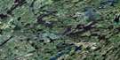
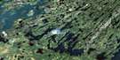
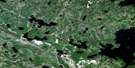
Forbes Lake Satellite Image Map
Download Free Aerial Photo 073P15 at 1:50,000 scale
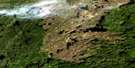
Forbes Lake Satellite Imagery
To view this satellite map, mouse over the air photo on the right.
You can also download this satellite image map for free:
073P15 Forbes Lake high-resolution satellite image map.
Maps for the Forbes Lake aerial map sheet 073P15 at 1:50,000 scale are also available in these versions:
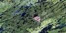
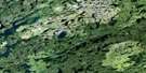
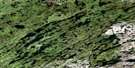
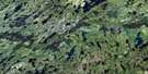
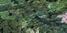
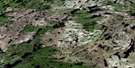
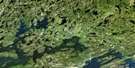
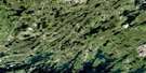
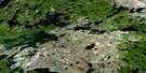
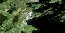
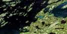
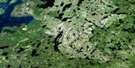
Forbes Lake Surrounding Area Aerial Photo Maps
 |
 |
 |
 |
 |
 |
 |
 |
 |
 |
 |
 |
 |
 |
 |
 |
© Department of Natural Resources Canada. All rights reserved.
Forbes Lake Gazetteer
The following places can be found on satellite image map 073P15 Forbes Lake:
Forbes Lake Satellite Image: Bays
Angus McKay BayBeatty Bay
Kerr Bay
Kinokamaw Bay
Robertson Bay
Sakastanook Bay
Forbes Lake Satellite Image: Capes
Hawkins PeninsulaLaing Island
Forbes Lake Satellite Image: Islands
Barnes IslandBeatty Island
Champagne Island
Christie Island
Horn Island
Laing Island
Macdonald Island
McMillan Island
Robertson Island
Stewart Islands
Young Island
Forbes Lake Satellite Image: Lakes
Anaka LakeAndrew Hastings Lake
Auld Lake
BadgerLake
Banyard Lake
Bateman Lake
Batter Lake
Bellows Lake
Berven Lake
Bracey Lake
Bracken Lake
Brian Lake
Brochu Lake
Carlyle Lake
Cockwill Lake
Cosford Lake
Crowe Lake
Dickens Lake
Dickin Lake
Dreaver Lake
Drummond Lake
Dunnet Lake
Ell Lake
Erickson Lake
Esmay Lake
Fengstad Lake
Forbes Lake
Gerlitz Lake
Gibbons Lake
Girard Lake
Gochagar Lake
Hailstone Lake
Hepburn Lake
Hope Lake
Husak Lake
Ismond Lake
Kempton Lake
Konopada Lake
Kruger Lake
Kurkowsky Lake
Larocque Lake
Legare Lake
Lofvendahl Lake
Lupichuk Lake
Lutzko Lake
McAvoy Lake
McIntosh Lake
Moir Lake
Mostoway Lake
Mower Lake
Nelson Lake
Perepelitz Lake
Perpeluk Lake
Poole Lake
Radcliffe Lake
Rennick Lake
Sabiston Lake
Sackney Lake
Slaney Lake
Sunstrum Lake
Vogel Lake
Weaver Lake
Whetter Lake
Wunsch Lake
Zulauf Lake
Forbes Lake Satellite Image: Rapids
McBride RapidsForbes Lake Satellite Image: Rivers
Weaver River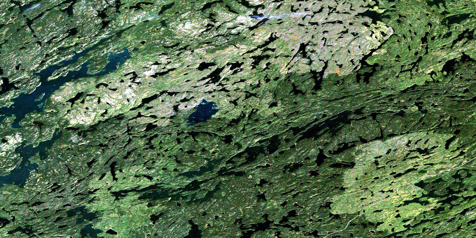
© Department of Natural Resources Canada. All rights reserved.
073P Related Maps:
073P Lac La Ronge073P01 Cartier Lake
073P02 Hunter Bay
073P03 La Ronge
073P04 Morin Lake
073P05 Morning Lake
073P06 Nemeiben Lake
073P07 Stanley Mission
073P08 Nistowiak Lake
073P09 Guncoat Bay
073P10 Otter Lake
073P11 Kavanagh Lake
073P12 Black Bear Island Lake
073P13 Eulas Lake
073P14 Mctavish Lake
073P15 Forbes Lake
073P16 Settee Lake
