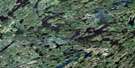
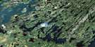
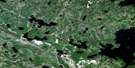
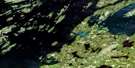
Morning Lake Satellite Image Map
Download Free Aerial Photo 073P05 at 1:50,000 scale
Morning Lake Satellite Imagery
To view this satellite map, mouse over the air photo on the right.
You can also download this satellite image map for free:
073P05 Morning Lake high-resolution satellite image map.
Maps for the Morning Lake aerial map sheet 073P05 at 1:50,000 scale are also available in these versions:
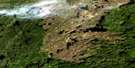
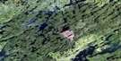
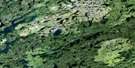
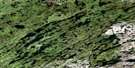
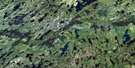
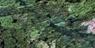
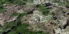
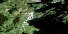
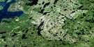
Morning Lake Surrounding Area Aerial Photo Maps
 |
 |
 |
 |
 |
 |
 |
 |
 |
 |
 |
 |
 |
 |
 |
 |
© Department of Natural Resources Canada. All rights reserved.
Morning Lake Gazetteer
The following places can be found on satellite image map 073P05 Morning Lake:
Morning Lake Satellite Image: Bays
Cook BayHarvesting Bay
Laird Bay
MacDougall Bay
Rawson Bay
Reynolds Bay
Rogers Bay
Morning Lake Satellite Image: Capes
Hall PointStewart Peninsula
Morning Lake Satellite Image: Channels
Miller ChannelMorning Lake Satellite Image: Islands
Alexander IslandMatheson Island
Robertson Island
Vicars Island
Wallace Island
Morning Lake Satellite Image: Lakes
Besnard LakeBurns Lake
Clam Lake
Clarke Lake
Dexter Lake
Gull Lake
Head Lake
Howard Lake
Inyanshan Lake
Jackson Lake
McCorriston Lake
McIntyre Lake
Morning Lake
Nemeiben Lake
Ohanyank Lake
Spoon Lake
Stein Lake
Taylor Lake
Totton Lake
Triveet Lake
VanBlaricom Lake
Morning Lake Satellite Image: Rivers
Pine BrookMorning Lake Satellite Image: Road features
Pine Portage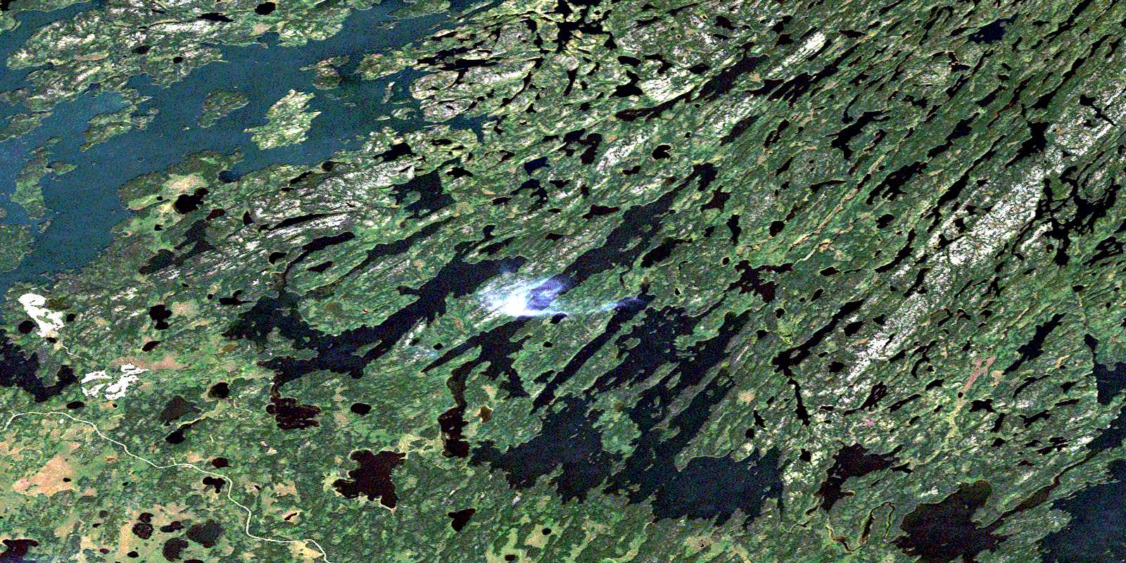
© Department of Natural Resources Canada. All rights reserved.
073P Related Maps:
073P Lac La Ronge073P01 Cartier Lake
073P02 Hunter Bay
073P03 La Ronge
073P04 Morin Lake
073P05 Morning Lake
073P06 Nemeiben Lake
073P07 Stanley Mission
073P08 Nistowiak Lake
073P09 Guncoat Bay
073P10 Otter Lake
073P11 Kavanagh Lake
073P12 Black Bear Island Lake
073P13 Eulas Lake
073P14 Mctavish Lake
073P15 Forbes Lake
073P16 Settee Lake
