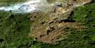
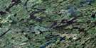
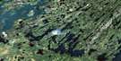
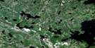
Stanley Mission Satellite Image Map
Download Free Aerial Photo 073P07 at 1:50,000 scale
Stanley Mission Satellite Imagery
To view this satellite map, mouse over the air photo on the right.
You can also download this satellite image map for free:
073P07 Stanley Mission high-resolution satellite image map.
Maps for the Stanley Mission aerial map sheet 073P07 at 1:50,000 scale are also available in these versions:
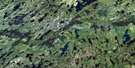
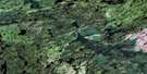
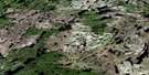
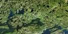
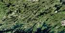
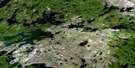
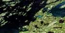
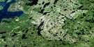
Stanley Mission Surrounding Area Aerial Photo Maps
 |
 |
 |
 |
 |
 |
 |
 |
 |
 |
 |
 |
 |
 |
 |
 |
© Department of Natural Resources Canada. All rights reserved.
Stanley Mission Gazetteer
The following places can be found on satellite image map 073P07 Stanley Mission:
Stanley Mission Satellite Image: Bays
Arrowhead BayBradshaw Bay
Campbell Bay
Chapman Bay
Chepakan Bay
Churchill River Bay
Cochrane Bay
Cuelenaere Bay
Diefenbaker Bay
Four Portages Bay
Harvesting Bay
Heyer Bay
Lovell Bay
Neufeld Bay
Ore Bay
Pipestone Bay
Pothole Bay
Russell Bay
Sauter Bay
Smith Bay
Staples Bay
Stewart Young Bay
Thomas Bay
Toland Bay
Urton Bay
Wadin Bay
Stanley Mission Satellite Image: Capes
Bonanza PointBurton Peninsula
Duck Point
Ferguson Point
Johnston Peninsula
Ledingham Peninsula
MacLean Peninsula
Mitchell Peninsula
Patterson Peninsula
Swanston Point
Uranium Point
Young Peninsula
Stanley Mission Satellite Image: Cliffs
Amuchewaspimewin CliffStanley Mission Satellite Image: Hamlets
Stanley MissionStanley Mission Satellite Image: Indian Reserves
Four Portages 157COld Fort 157B
Stanley 157
Stanley Mission Satellite Image: Islands
Aronson IslandBear Island
Bereskin Island
Blanchard Island
Boyd Island
Braaten Island
Dot Island
End Island
Fairhead Island
Feldman Island
Foster Island
Fuller Island
Gilchrist Island
Glenn Island
Harman Island
Hillis Island
Howlett Island
Karcza Island
Keller Island
Kenderdine Island
Kubian Island
Lamb Island
Lunch Island
Marg Island
McCannel Island
Mullen Islands
Rhind Island
Rhoda Island
Rubin Island
Seaker Island
Spencer Island
Starfield Island
Swanson Island
Tingey Island
Toland Island
Warne Island
Worden Island
Stanley Mission Satellite Image: Lakes
Aikenhead LakesBagshaw Lakes
Baldhead Lake
Bartlett Lake
Bell Lake
Bon Seigneur Lake
Bow Lake
Bradshaw Lake
Bulbick Lake
Cairns Lake
Caribou Lake
Coady Lake
Contact Lake
Cote Lake
Dingwall Lake
Duck Lake
Fault Lake
Fisher Lake
Five Fingers Lake
Freda Lake
Freestone Lake
Gross Lake
Hale Lake
Harlton Lake
Hay Lake
Hebden Lake
Hunt Lake
Jepson Lakes
Johnston Lake
Kuskawao Lake
Lac la Ronge
Land Lake
Leckie Lake
Linton Lake
Little Deer Lake
Little Lake
Loving Lake
Lynx Lake
MacKay Lake
Mahon Lake
Maloney Lake
McCaffrey Lake
McDonell Lake
McNichol Lake
Mekewap Lake
Moore Lake
Mosquito Lake
Mossing Lake
Mountain Lake
Muledeer Lake
Mullock Lake
Naniskak Lakes
Needle Lake
Nesbitt Lake
Otter Lake
Pechey Lake
Poulton Lake
Preview Lake
Ramsland Lakes
Richardson Lake
Richter Lake
Ritchie Lake
Scramsted Lakes
Scythes Lake
Shoemaker Lake
Sim Lake
Stroud Lake
Sulphide Lake
Sutherland Lake
Switzer Lake
Telfer Lake
Teneycke Lake
Turtle Lake
Upises Lake
Warnock Lake
Welk Lake
West Lake
Westroud Lake
Zunti Lake
Stanley Mission Satellite Image: Conservation areas
Holy Trinity Anglican Church/Stanley Mission Historic SiteLac la Ronge Park
Lac La Ronge Provincial Park
MacKay Lake Recreation Site
Stanley Mission Satellite Image: Rivers
Churchill RiverLynx River
Rivière Churchill
Robertson Creek
Thomas Creek
Stanley Mission Satellite Image: Road features
First PortageStanley Mission Satellite Image: Unincorporated areas
Hartwell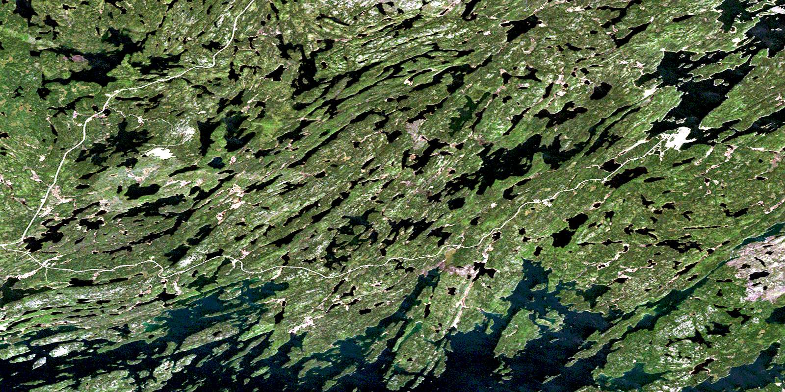
© Department of Natural Resources Canada. All rights reserved.
073P Related Maps:
073P Lac La Ronge073P01 Cartier Lake
073P02 Hunter Bay
073P03 La Ronge
073P04 Morin Lake
073P05 Morning Lake
073P06 Nemeiben Lake
073P07 Stanley Mission
073P08 Nistowiak Lake
073P09 Guncoat Bay
073P10 Otter Lake
073P11 Kavanagh Lake
073P12 Black Bear Island Lake
073P13 Eulas Lake
073P14 Mctavish Lake
073P15 Forbes Lake
073P16 Settee Lake
