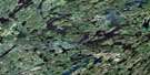
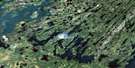
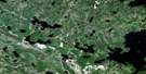
Settee Lake Satellite Image Map
Download Free Aerial Photo 073P16 at 1:50,000 scale
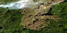
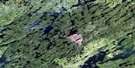
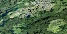
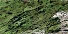
Settee Lake Satellite Imagery
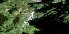
To view this satellite map, mouse over the air photo on the right.
You can also download this satellite image map for free:
073P16 Settee Lake high-resolution satellite image map.
Maps for the Settee Lake aerial map sheet 073P16 at 1:50,000 scale are also available in these versions:
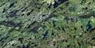
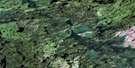
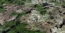
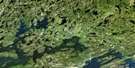
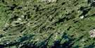
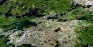
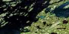
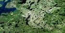
Settee Lake Surrounding Area Aerial Photo Maps
 |
 |
 |
 |
 |
 |
 |
 |
 |
 |
 |
 |
 |
 |
 |
 |
© Department of Natural Resources Canada. All rights reserved.
Settee Lake Gazetteer
The following places can be found on satellite image map 073P16 Settee Lake:
Settee Lake Satellite Image: Bays
Asbell BayCushon Bay
Earl Bay
Gowrie Bay
Gray Bay
Liggett Bay
Newburg Bay
Rogers Bay
Theaker Bay
Settee Lake Satellite Image: Capes
Jolly PeninsulaWalker Peninsula
Wilson Peninsula
Settee Lake Satellite Image: Falls
Vivian FallsSettee Lake Satellite Image: Islands
Daly IslandDwyer Island
Ehnisz Island
Henry Island
Hunter Island
Lamont Island
Ryan Island
Sandomirsky Island
Stevenson Island
Settee Lake Satellite Image: Lakes
Alpat LakeBabey Lake
Berven Lake
Booth Lake
Broeder Lake
Bryan Lake
Buchanan Lake
Calder Lake
Chapman Lake
Colin Lake
Cratty Lake
Davis Lake
De Armond Lake
Ellard Lake
Fearnside Lake
Fork Lakes
Forseth Lakes
Fowell Lake
Fowell Lake
Gamble Lake
Gibbons Lake
Hornet Lake
Hutchings Lake
Island Lake
Jaysmith Lake
Kakabigish Lake
Kliman Lake
Legare Lake
Lust Lake
Luther Lake
MacLachlan Lake
MacLachlin Lake
MacLean Lake
McLennan Lake
Minuhik Lake
Neyrinck Lake
O'Connell Lake
Pesimokan Lake
Robertson Lake
Roundish Lake
Scott Lake
Scriver Lake
Seivewright Lake
Settee Lake
Skalicky Lake
Solymos Lake
St. Pierre Lake
Star Lake
Stempel Lake
Stock Lake
Tate Lake
Thorvaldson Lake
Tricker Lake
Vee Lake
Versailles Lake
Wakefield Lake
Wapassini Lake
Wasuhasin Lake
Wilson Lake
Zacharias Lake
Zip Lake
Settee Lake Satellite Image: Conservation areas
McLennan Lake Recreation SiteSettee Lake Satellite Image: Rivers
Jones RiverSettee Lake Satellite Image: Unincorporated areas
McLennan Lake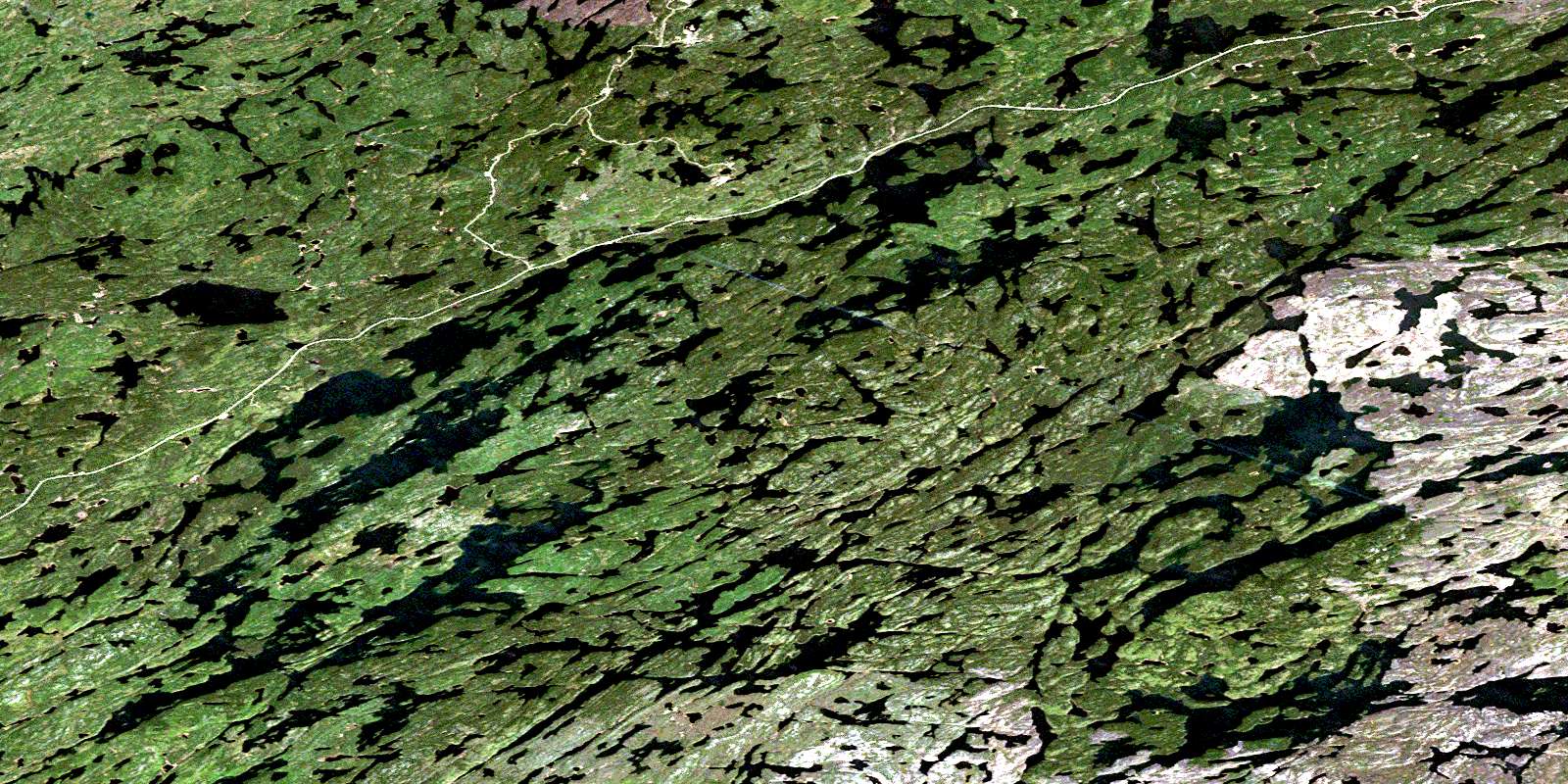
© Department of Natural Resources Canada. All rights reserved.
073P Related Maps:
073P Lac La Ronge073P01 Cartier Lake
073P02 Hunter Bay
073P03 La Ronge
073P04 Morin Lake
073P05 Morning Lake
073P06 Nemeiben Lake
073P07 Stanley Mission
073P08 Nistowiak Lake
073P09 Guncoat Bay
073P10 Otter Lake
073P11 Kavanagh Lake
073P12 Black Bear Island Lake
073P13 Eulas Lake
073P14 Mctavish Lake
073P15 Forbes Lake
073P16 Settee Lake
