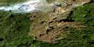
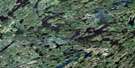
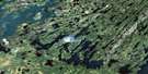
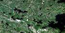
Guncoat Bay Satellite Image Map
Download Free Aerial Photo 073P09 at 1:50,000 scale
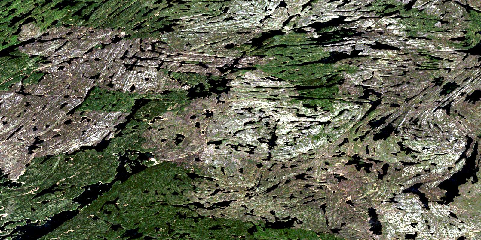
Guncoat Bay Satellite Imagery
To view this satellite map, mouse over the air photo on the right.
You can also download this satellite image map for free:
073P09 Guncoat Bay high-resolution satellite image map.
Maps for the Guncoat Bay aerial map sheet 073P09 at 1:50,000 scale are also available in these versions:
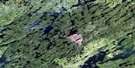
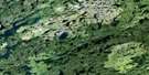
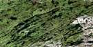
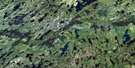
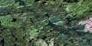
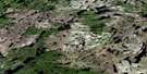
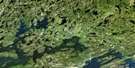
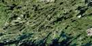
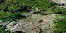
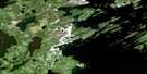
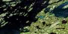
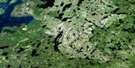
Guncoat Bay Surrounding Area Aerial Photo Maps
 |
 |
 |
 |
 |
 |
 |
 |
 |
 |
 |
 |
 |
 |
 |
 |
© Department of Natural Resources Canada. All rights reserved.
Guncoat Bay Gazetteer
The following places can be found on satellite image map 073P09 Guncoat Bay:
Guncoat Bay Satellite Image: Bays
Akoohum BayAlexander Bay
Bradley Bay
Guncoat Bay
Mispiton Bay
Tatawich Bay
Wasahaw Bay
Guncoat Bay Satellite Image: Falls
Hepburn FallsGuncoat Bay Satellite Image: Islands
Edwards IslandEyinew Island
Kistapisk Island
Mathison Island
Onikup Island
Parks Island
Uspikinakun Island
Guncoat Bay Satellite Image: Lakes
Ahasew LakeAmak Lake
Arrowhead Lake
Ayissowa Lake
Bartko Lake
Bogdan Lake
Boyce Lake
Buchner Lake
Bunn Lake
Cheyney Lake
Cratty Lake
Driscoll Lake
Fahselt Lake
Fearnside Lake
Forseth Lakes
Gibson Lake
Glover Lake
Hatch Lake
Hemming Lake
Henschel Lake
Hidlebaugh Lake
Hood Lake
Hornseth Lake
Howitson Lake
Irving Lake
Ives Lake
Kemp Lake
Knight Lake
Lane Lake
Liddle Lake
Lornson Lake
Luther Lake
Malchow Lake
Mountain Lake
Nugent Lake
Otter Lake
Palmer Lake
Piercy Lake
Pitching Lake
Propp Lake
Rink Lake
Robertson Lake
Scott Lake
Shortridge Lake
Sinton Lake
Slabick Lake
Solmes Lake
Soroski Lake
Sotkowy Lake
St. Pierre Lake
Stauffer Lake
Stoll Lake
Talman Lake
Townley-Smith Lake
Wapassini Lake
Guncoat Bay Satellite Image: Conservation areas
Lac la Ronge ParkGuncoat Bay Satellite Image: Rapids
Brown RapidsWick Rapids
Guncoat Bay Satellite Image: Rivers
Churchill RiverJones River
Rattler Creek
Rivière Churchill
© Department of Natural Resources Canada. All rights reserved.
073P Related Maps:
073P Lac La Ronge073P01 Cartier Lake
073P02 Hunter Bay
073P03 La Ronge
073P04 Morin Lake
073P05 Morning Lake
073P06 Nemeiben Lake
073P07 Stanley Mission
073P08 Nistowiak Lake
073P09 Guncoat Bay
073P10 Otter Lake
073P11 Kavanagh Lake
073P12 Black Bear Island Lake
073P13 Eulas Lake
073P14 Mctavish Lake
073P15 Forbes Lake
073P16 Settee Lake
