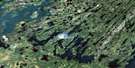
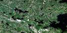
Cartier Lake Satellite Image Map
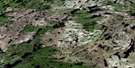
Download Free Aerial Photo 073P01 at 1:50,000 scale
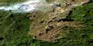
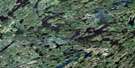
Cartier Lake Satellite Imagery
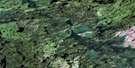
To view this satellite map, mouse over the air photo on the right.
You can also download this satellite image map for free:
073P01 Cartier Lake high-resolution satellite image map.
Maps for the Cartier Lake aerial map sheet 073P01 at 1:50,000 scale are also available in these versions:
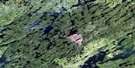
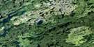
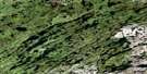
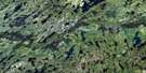
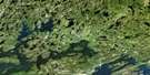
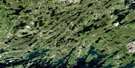
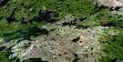
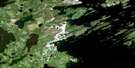
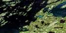
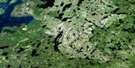
Cartier Lake Surrounding Area Aerial Photo Maps
 |
 |
 |
 |
 |
 |
 |
 |
 |
 |
 |
 |
 |
 |
 |
 |
© Department of Natural Resources Canada. All rights reserved.
Cartier Lake Gazetteer
The following places can be found on satellite image map 073P01 Cartier Lake:
Cartier Lake Satellite Image: Bays
Hunter BayPickerel Bay
Cartier Lake Satellite Image: Capes
Cabin PointHarbour Point
Patterson Peninsula
Cartier Lake Satellite Image: Islands
Hayworth IslandHerrick Island
Rainy Island
Reef Isle
Shapiro Island
Cartier Lake Satellite Image: Lakes
Big Whitemoose LakeBlackmore Lake
Cartier Lake
Code Lake
Ellis Lake
Ferner Lake
Few Lake
Ford Lake
Form Lake
Gerein Lake
Gorieu Lake
Houlding Lake
Inch Lake
Jansonn Lake
Kenny Lake
Kinnee Lake
Kippan Lake
Korpach Lake
Lac la Ronge
Lacey Lake
Lawson Lake
Lee Lake
Lucas Lake
MacLachlan Lake
McKee Lake
McKenna Lake
McTavish Lake
Mitchell Lake
Moncrieff Lake
Nunn Lake
Peart Lake
Petch Lake
Piket Lake
Platana Lake
Rhodes Lake
Routledge Lake
Steele Lake
Stilborn Lake
Sweet Lake
Tagseth Lake
Tyman Lake
Wyman Lake
Cartier Lake Satellite Image: Conservation areas
Lac la Ronge Park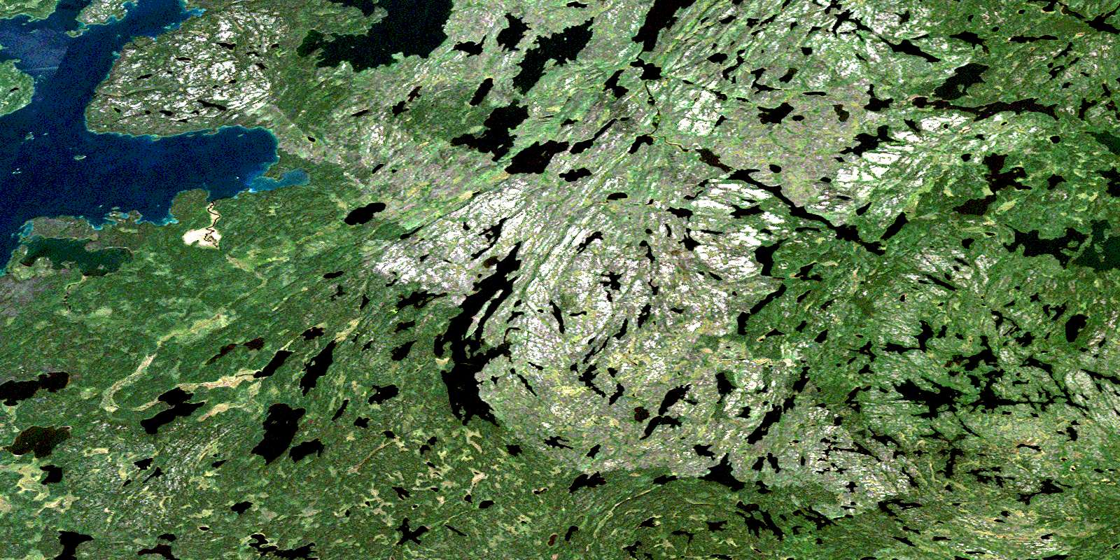
© Department of Natural Resources Canada. All rights reserved.
073P Related Maps:
073P Lac La Ronge073P01 Cartier Lake
073P02 Hunter Bay
073P03 La Ronge
073P04 Morin Lake
073P05 Morning Lake
073P06 Nemeiben Lake
073P07 Stanley Mission
073P08 Nistowiak Lake
073P09 Guncoat Bay
073P10 Otter Lake
073P11 Kavanagh Lake
073P12 Black Bear Island Lake
073P13 Eulas Lake
073P14 Mctavish Lake
073P15 Forbes Lake
073P16 Settee Lake
