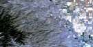
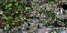
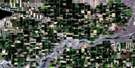
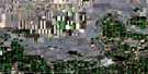
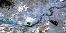
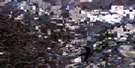
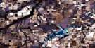
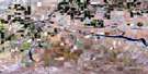
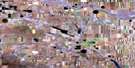
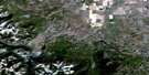
Warner Satellite Image Map
Download Free Aerial Photo 082H08 at 1:50,000 scale
Warner Satellite Imagery
To view this satellite map, mouse over the air photo on the right.
You can also download this satellite image map for free:
082H08 Warner high-resolution satellite image map.
Maps for the Warner aerial map sheet 082H08 at 1:50,000 scale are also available in these versions:
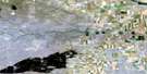
Warner Surrounding Area Aerial Photo Maps
 |
 |
 |
 |
 |
 |
 |
 |
 |
 |
 |
 |
 |
 |
 |
 |
© Department of Natural Resources Canada. All rights reserved.
Warner Gazetteer
The following places can be found on satellite image map 082H08 Warner:
Warner Satellite Image: Lakes
Milk River Ridge ReservoirSuds Lake
Tyrrell Lake
Verdigris Lake
Weston Lake
Warner Satellite Image: Mountains
Milk River RidgeWarner Satellite Image: Major municipal/district area - major agglomerations
County of Warner No. 5Warner Satellite Image: Unincorporated areas
CraddockMcNab
New Dayton
Warner Satellite Image: Valleys
Etzikom CouleeEtzikom Coulée
Kipp Coulée
Middle Coulée
Verdigris Coulee
Verdigris Coulée
Warner Satellite Image: Villages
Warner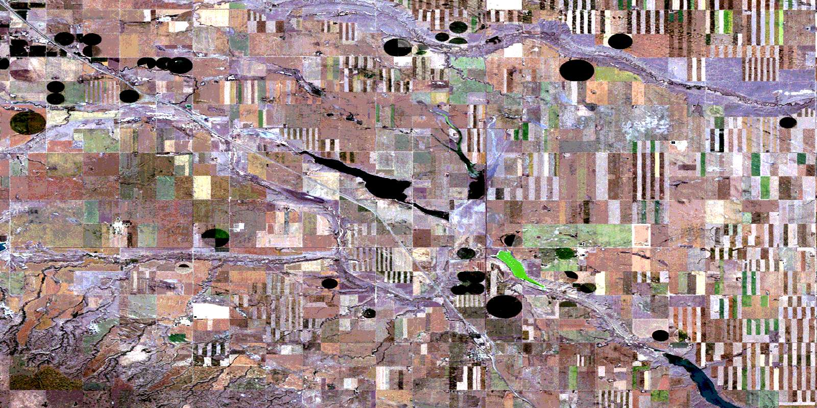
© Department of Natural Resources Canada. All rights reserved.
