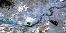
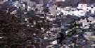
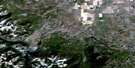
Granum Satellite Image Map
Download Free Aerial Photo 082H13 at 1:50,000 scale
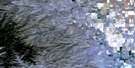
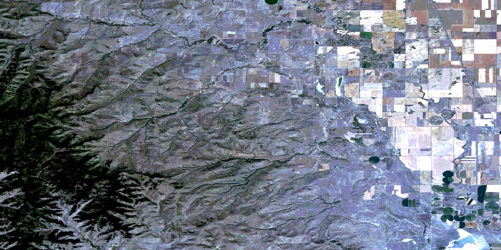
Granum Satellite Imagery
To view this satellite map, mouse over the air photo on the right.
You can also download this satellite image map for free:
082H13 Granum high-resolution satellite image map.
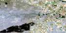
Maps for the Granum aerial map sheet 082H13 at 1:50,000 scale are also available in these versions:
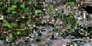
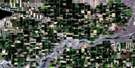
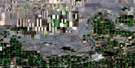
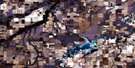
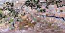
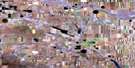
Granum Surrounding Area Aerial Photo Maps
 |
 |
 |
 |
 |
 |
 |
 |
 |
 |
 |
 |
 |
 |
 |
 |
© Department of Natural Resources Canada. All rights reserved.
Granum Gazetteer
The following places can be found on satellite image map 082H13 Granum:
Granum Satellite Image: Lakes
Mud LakeGranum Satellite Image: Mountains
Porcupine HillsGranum Satellite Image: Major municipal/district area - major agglomerations
Municipal District of Willow Creek No. 26Granum Satellite Image: Rivers
Beaver CreekBurke Creek
Craig Creek
Cripple Creek
Five Mile Creek
Heath Creek
Jim Creek
Kyiskap Creek
Lyndon Creek
Meadow Creek
Muddylake Creek
Muddypound Creek
Nine Mile Creek
Olin Creek
Olsen Creek
Quail Creek
Trout Creek
Willow Creek
Granum Satellite Image: Towns
GranumGranum Satellite Image: Unincorporated areas
ChokioFurman
Meadow Creek
Nolan
Woodhouse
Granum Satellite Image: Valleys
Hollis CouleeMill Coulée
Quail Coulee
© Department of Natural Resources Canada. All rights reserved.
