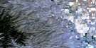
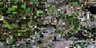
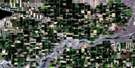
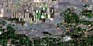
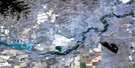
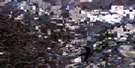
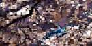
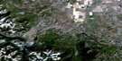
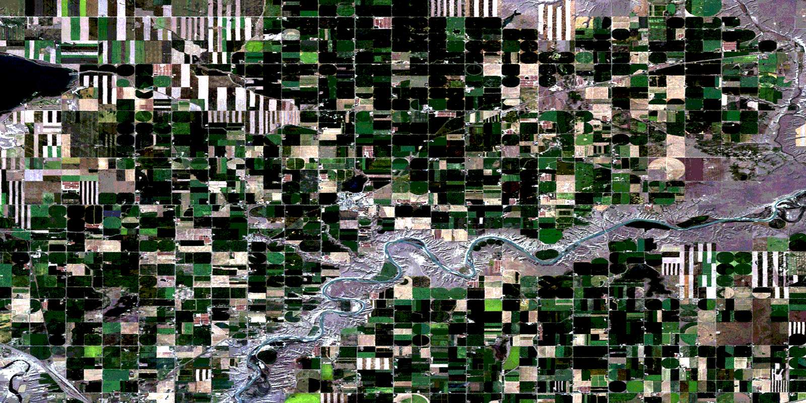
Picture Butte Satellite Image Map
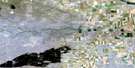
Download Free Aerial Photo 082H15 at 1:50,000 scale
Picture Butte Satellite Imagery
To view this satellite map, mouse over the air photo on the right.
You can also download this satellite image map for free:
082H15 Picture Butte high-resolution satellite image map.
Maps for the Picture Butte aerial map sheet 082H15 at 1:50,000 scale are also available in these versions:
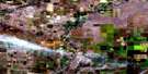
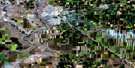
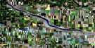
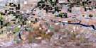
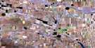
Picture Butte Surrounding Area Aerial Photo Maps
 |
 |
 |
 |
 |
 |
 |
 |
 |
 |
 |
 |
 |
 |
 |
 |
© Department of Natural Resources Canada. All rights reserved.
Picture Butte Gazetteer
The following places can be found on satellite image map 082H15 Picture Butte:
Picture Butte Satellite Image: Lakes
Eight Mile LakeKeho Lake
Park Lake
Picture Butte Satellite Image: Mountains
Beautiful ButteBlackspring Ridge
Picture Butte
Plain Butte
Scabby Butte
Picture Butte Satellite Image: Major municipal/district area - major agglomerations
County of Lethbridge No. 26Picture Butte Satellite Image: Conservation areas
Park Lake Provincial ParkPicture Butte Satellite Image: Rivers
Little Bow RiverOldman River
Picture Butte Satellite Image: River features
Bunn's FordPicture Butte Satellite Image: Shoals
Horse Shoe BottomPicture Butte Satellite Image: Towns
Picture ButtePicture Butte Satellite Image: Unincorporated areas
Albion RidgeDiamond City
Hardieville
Iron Springs
Kipp
Piyami
Shaughnessy
Tennion
Turin
Whitney
Picture Butte Satellite Image: Valleys
Arrowsmith CouleeDavy Coulee
Piyami Coulée
© Department of Natural Resources Canada. All rights reserved.
