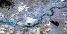
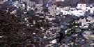
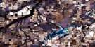
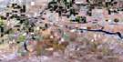
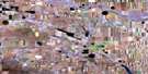
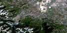
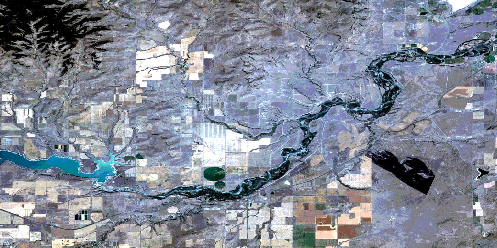
Brocket Satellite Image Map
Download Free Aerial Photo 082H12 at 1:50,000 scale
Brocket Satellite Imagery
To view this satellite map, mouse over the air photo on the right.
You can also download this satellite image map for free:
082H12 Brocket high-resolution satellite image map.
Maps for the Brocket aerial map sheet 082H12 at 1:50,000 scale are also available in these versions:
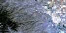
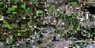
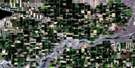
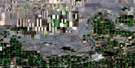
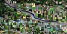
Brocket Surrounding Area Aerial Photo Maps
 |
 |
 |
 |
 |
 |
 |
 |
 |
 |
 |
 |
 |
 |
 |
 |
© Department of Natural Resources Canada. All rights reserved.
Brocket Gazetteer
The following places can be found on satellite image map 082H12 Brocket:
Brocket Satellite Image: Cliffs
Head-Smashed-In Buffalo JumpBrocket Satellite Image: Indian Reserves
Peigan 147Peigan Timber Limit B
Piikani 147
Brocket Satellite Image: Lakes
Mud LakeBrocket Satellite Image: Mountains
Lookout ButtePorcupine Hills
Rocky Mountain Foothills
Brocket Satellite Image: Major municipal/district area - major agglomerations
Municipal District of Pincher Creek No. 9Municipal District of Willow Creek No. 26
Brocket Satellite Image: Conservation areas
Head-Smashed-In Buffalo Jump Provincial Historic Site (Developed)Head-Smashed-In Buffalo Jump Provincial Historic Site World Heritage Site
Site du patrimoine mondial Head-Smashed-In Buffalo Jump (site historique provincial)
Brocket Satellite Image: Rivers
Beaver CreekCastle River
Crowlodge Creek
Five Mile Creek
Indianfarm Creek
Nine Mile Creek
Oldman River
Olsen Creek
Pincher Creek
Tennessee Creek
Brocket Satellite Image: Springs
Bratton SpringBrocket Satellite Image: Unincorporated areas
BrocketMaunsell
Peigan
Pincher
Pincher Station
Spring Point
Stowe
Summerview
Brocket Satellite Image: Valleys
Bratton CouleeHollis Coulee
© Department of Natural Resources Canada. All rights reserved.
