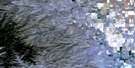
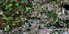
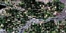
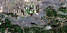
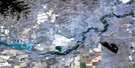
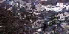
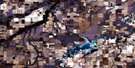
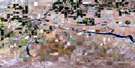
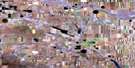
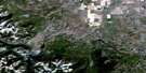
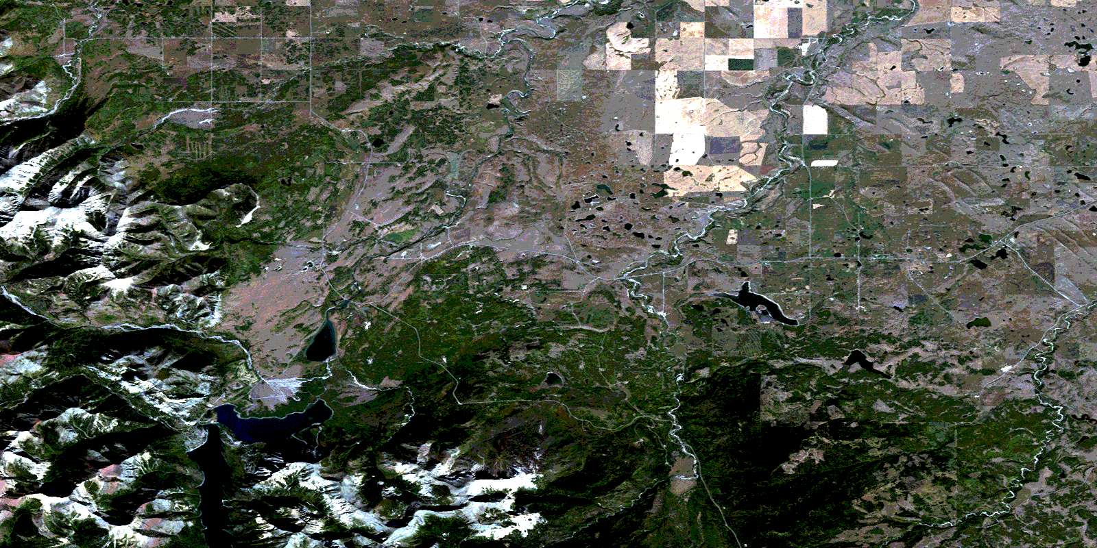
Waterton Lakes Satellite Image Map
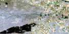
Download Free Aerial Photo 082H04 at 1:50,000 scale
Waterton Lakes Satellite Imagery
To view this satellite map, mouse over the air photo on the right.
You can also download this satellite image map for free:
082H04 Waterton Lakes high-resolution satellite image map.
Maps for the Waterton Lakes aerial map sheet 082H04 at 1:50,000 scale are also available in these versions:
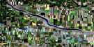
Waterton Lakes Surrounding Area Aerial Photo Maps
 |
 |
 |
 |
 |
 |
 |
 |
 |
 |
 |
 |
 |
 |
 |
 |
© Department of Natural Resources Canada. All rights reserved.
Waterton Lakes Gazetteer
The following places can be found on satellite image map 082H04 Waterton Lakes:
Waterton Lakes Satellite Image: Bays
Emerald BayWaterton Lakes Satellite Image: Beaches
Beebe FlatsWaterton Lakes Satellite Image: Channels
BosporusDardanelles
Waterton Lakes Satellite Image: Cliffs
Bears HumpWaterton Lakes Satellite Image: Falls
Cameron FallsCrypt Falls
Hell-Roaring Falls
Lower Bertha Falls
Sofa Creek Falls
Swirling Mist Falls
Twin Falls
Upper Bertha Falls
Waterton Lakes Satellite Image: Indian Reserves
Blood 148AWaterton Lakes Satellite Image: Lakes
Alderson LakeBeaverdam Lake
Bertha Lake
Carthew Lakes
Crandell Lake
Crypt Lake
Deer Lake
Giants Mirror
Horseshoe Lake
Indian Springs
Kesler Lake
Kootenai Lake
Linnet Lake
Lonesome Lake
Loon Lake
Lower Waterton Lake
Maskinonge Lake
Middle Waterton Lake
Paine Lake
Payne Lake
Upper Waterton Lake
Waterton Lake
Waterton Lakes
Waterton Lakes Satellite Image: Mountains
Beazer RidgeBellevue Hill
Bertha Peak
Birdseye Butte
Border Ranges
Buchanan Peak
Buchanan Ridge
Cameron Mountain
Cameronian Mountain
Clark Range
Cloudy Ridge
Indian Springs Ridge
Lakeview Ridge
Mokowan Butte
Mount Alderson
Mount Boswell
Mount Carthew
Mount Crandell
Mount Dungarvan
Mount Galwey
Mount Richards
Pine Ridge
Rocky Mountain Foothills
Ruby Ridge
Sofa Mountain
Trivett Ridge
Vimy Peak
Vimy Ridge
Wilson Range
Waterton Lakes Satellite Image: Major municipal/district area - major agglomerations
Cardston CountyMunicipal District of Cardston No. 6
Municipal District of Pincher Creek No. 9
Waterton Lakes Satellite Image: Other municipal/district area - miscellaneous
Improvement District No. 4Improvement District of Ranchland No. 6
Waterton Lakes Satellite Image: Conservation areas
First Oil Well in Western Canada National Historic SiteLieu historique national du Canada du Premier-Puits-de-Pétrole-de-l'Ouest-Canadien
Parc national du Canada des Lacs-Waterton
Site du patrimoine mondial du Parc international de la paix Waterton-Glacier
Waterton Lakes National Park of Canada
Waterton-Glacier International Peace Park
Waterton-Glacier International Peace Park World Heritage Site
Waterton Lakes Satellite Image: Plains
Beebee FlatsWaterton Lakes Satellite Image: Rivers
Alderson CreekBelly River
Bertha Brook
Bertha Creek
Blakiston Brook
Blakiston Creek
Cameron Brook
Cameron Creek
Carthew Creek
Coppermine Creek
Cottonwood Creek
Crooked Creek
Dungarvan Creek
Galwey Brook
Galwey Creek
Hell-Roaring Creek
Lee Creek
Lineham Brook
Lineham Creek
Lost Horse Creek
Mami Creek
North Belly River
Pass Creek (Blakiston Brook)
Ruby Creek
Sofa Creek
Tough Creek
Waterton River
Yarrow Creek
Waterton Lakes Satellite Image: Unincorporated areas
CaldwellChief Mountain
Mountain View
Parkbend
Waterton Park
Waterton Lakes Satellite Image: Valleys
Blind CanyonBullhorn Coulee
Horseshoe Basin
Oil Basin
© Department of Natural Resources Canada. All rights reserved.
