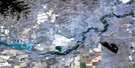
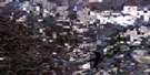
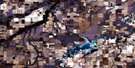
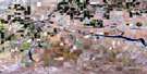
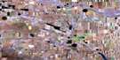
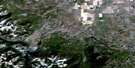
Taber Satellite Image Map
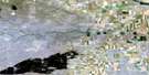
Download Free Aerial Photo 082H16 at 1:50,000 scale
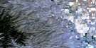
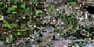
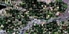
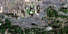
Taber Satellite Imagery
To view this satellite map, mouse over the air photo on the right.
You can also download this satellite image map for free:
082H16 Taber high-resolution satellite image map.
Maps for the Taber aerial map sheet 082H16 at 1:50,000 scale are also available in these versions:
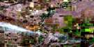
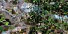
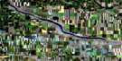
Taber Surrounding Area Aerial Photo Maps
 |
 |
 |
 |
 |
 |
 |
 |
 |
 |
 |
 |
 |
 |
 |
 |
© Department of Natural Resources Canada. All rights reserved.
Taber Gazetteer
The following places can be found on satellite image map 082H16 Taber:
Taber Satellite Image: Islands
Woodpecker IslandTaber Satellite Image: Lakes
Horsefly Lake ReservoirTaber Lake
Taber Satellite Image: Major municipal/district area - major agglomerations
County of Lethbridge No. 26Municipal District of Taber
Municipal District of Taber No. 14
Taber Satellite Image: Conservation areas
Taber Provincial ParkTaber Satellite Image: Rivers
Little Bow RiverOldman River
Taber Satellite Image: Towns
TaberTaber Satellite Image: Unincorporated areas
ChinCranford
Elcan
Fincastle
Reliance
Taber Satellite Image: Valleys
Arrowsmith CouleeChin Coulee
Expanse Coulee
Expanse Coulée
Rocky Coulee
Taber Satellite Image: Villages
Barnwell
© Department of Natural Resources Canada. All rights reserved.
