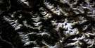
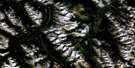
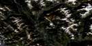
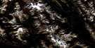
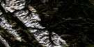
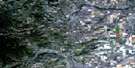
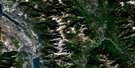
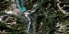
Mount Peck Satellite Image Map
Download Free Aerial Photo 082J03 at 1:50,000 scale
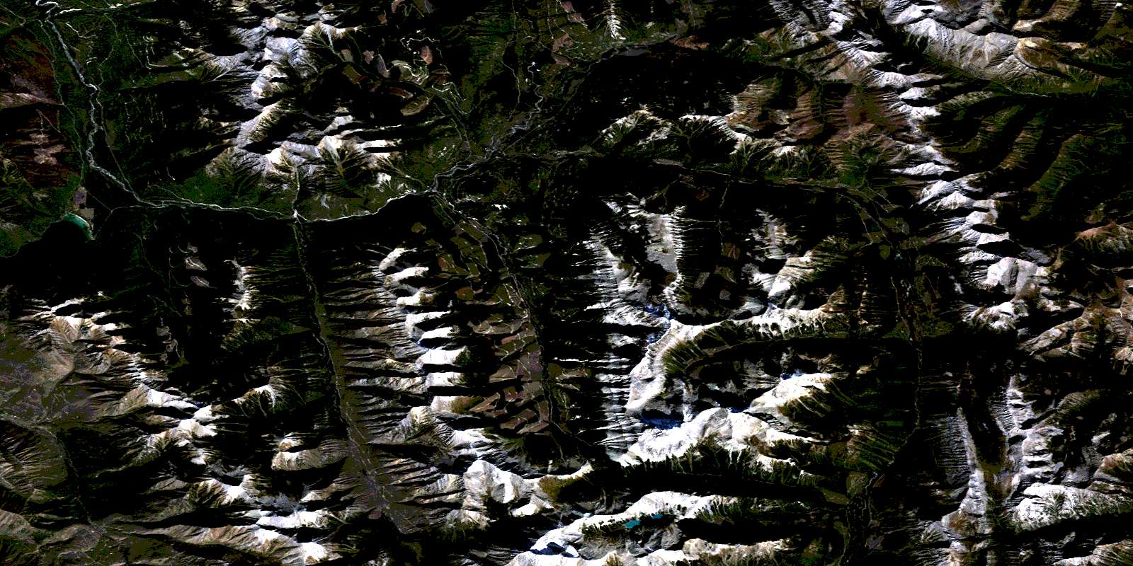
Mount Peck Satellite Imagery
To view this satellite map, mouse over the air photo on the right.
You can also download this satellite image map for free:
082J03 Mount Peck high-resolution satellite image map.
Maps for the Mount Peck aerial map sheet 082J03 at 1:50,000 scale are also available in these versions:
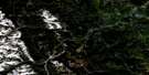
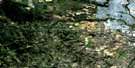
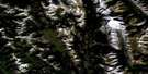
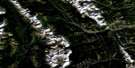
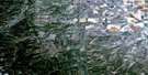
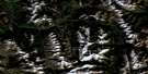
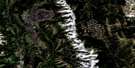
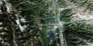
Mount Peck Surrounding Area Aerial Photo Maps
 |
 |
 |
 |
 |
 |
 |
 |
 |
 |
 |
 |
 |
 |
 |
 |
© Department of Natural Resources Canada. All rights reserved.
Mount Peck Gazetteer
The following places can be found on satellite image map 082J03 Mount Peck:
Mount Peck Satellite Image: Lakes
Munroe LakeWhiteswan Lake
Mount Peck Satellite Image: Mountains
Flett PeakKootenay Ranges
Melvin Peak
Montagnes Rocheuses
Mount Bingay
Mount Folk
Mount Hadiken
Mount Harrison
Mount Mike
Mount Nicholas
Mount Peck
Park Ranges
Profile Mountain
Quinn Range
Rocky Mountains
Smith Peak
Three Ram Mountain
Van Nostrand Range
Mount Peck Satellite Image: Major municipal/district area - major agglomerations
Regional District of East KootenayMount Peck Satellite Image: Conservation areas
Whiteswan Lake ParkMount Peck Satellite Image: Rivers
Aka CreekAkimukoo Creek
Akutlak Creek
Barr Creek
Bingay Creek
Blackfoot Creek
Boivin Creek
Britt Creek
Bull River
Cave Creek
Coyote Creek
Crossing Creek
East White River
Elk Creek
Grave Creek
Hornickel Creek
Inlet Creek
Kikitl Creek
Klookuh Creek
Kokin Creek
Koos Creek
Lowe Creek
Lynx Creek
Mary Creek
Moscow Creek
Nippin Creek
Nitta Creek
North White River
Poopoo Creek
Rock Canyon Creek
Rock Creek
Stenson Creek
Stork Creek
Thunder Creek
Towoo Creek
White River
Yaket Creek
Yamo Creek
Yuka Creek
© Department of Natural Resources Canada. All rights reserved.
082J Related Maps:
082J Kananaskis Lakes082J01 Langford Creek
082J02 Fording River
082J03 Mount Peck
082J04 Canal Flats
082J05 Fairmont Hot Springs
082J06 Mount Abruzzi
082J07 Mount Head
082J08 Stimson Creek
082J09 Turner Valley
082J10 Mount Rae
082J11 Kananaskis Lakes
082J12 Tangle Peak
082J13 Mount Assiniboine
082J14 Spray Lakes Reservoir
082J15 Bragg Creek
082J16 Priddis
