Mount Rae Satellite Image Map
Download Free Aerial Photo 082J10 at 1:50,000 scale
Mount Rae Satellite Imagery
To view this satellite map, mouse over the air photo on the right.
You can also download this satellite image map for free:
082J10 Mount Rae high-resolution satellite image map.
Maps for the Mount Rae aerial map sheet 082J10 at 1:50,000 scale are also available in these versions:
Mount Rae Surrounding Area Aerial Photo Maps
 |
 |
 |
 |
 |
 |
 |
 |
 |
 |
 |
 |
 |
 |
 |
 |
© Department of Natural Resources Canada. All rights reserved.
Mount Rae Gazetteer
The following places can be found on satellite image map 082J10 Mount Rae:
Mount Rae Satellite Image: Falls
Edworthy FallsSheep River Falls
Mount Rae Satellite Image: Lakes
Burns LakeLake Rae
Picklejar Lakes
Running Rain Lake
Talus Lake
Tombstone Lakes
Mount Rae Satellite Image: Mountains
Allsmoke MountainBanded Peak
Blue Ridge
Bluerock Mountain
Cougar Mountain
Elk Mountains
Elk Range
Elk Range
Gibraltar Mountain
Green Mountain
Highwood Range
Junction Mountain
Missinglink Mountain
Mist Mountain
Misty Range
Montagnes Rocheuses
Mount Arethusa
Mount Burns
Mount Cornwall
Mount Dyson
Mount Hoffman
Mount Lipsett
Mount McNab
Mount Rae
Mount Rose
Mount Ware
Pyriform Mountain
Rocky Mountain Foothills
Rocky Mountains
Storelk Mountain
Storelk Mountain
Storm Mountain
Threepoint Mountain
Volcano Ridge
Mount Rae Satellite Image: Major municipal/district area - major agglomerations
Municipal District of Foothills No. 31Regional District of East Kootenay
Mount Rae Satellite Image: Other municipal/district area - miscellaneous
Improvement District No. 5Kananaskis Improvement District
Mount Rae Satellite Image: Conservation areas
Kananaskis Provincial ParkPeter Lougheed Provincial Park
Sheep River Provincial Park
Mount Rae Satellite Image: Rivers
Bluerock CreekBurns Creek
Cliff Creek
Coal Creek
Cougar Creek
Death Valley Creek
Dyson Creek
Elbow River
Elk River
Gorge Creek
Highwood River
Junction Creek
Lantern Creek
Link Creek
Little Elbow River
Long Prairie Creek
Macabee Creek
March Creek
Mist Creek
North Coal Creek
North Sullivan Creek
Picklejar Creek
Piper Creek
Rae Creek
Rock Creek
Sheep River
South Coal Creek
South Glasgow Creek
South Sullivan Creek
Storm Creek
Sullivan Creek
Threepoint Creek
Tom Trotter Creek
Volcano Creek
Ware Creek
Wolf Creek
Mount Rae Satellite Image: Valleys
Highwood PassMount Rae Satellite Image: Low vegetation
Nash Meadow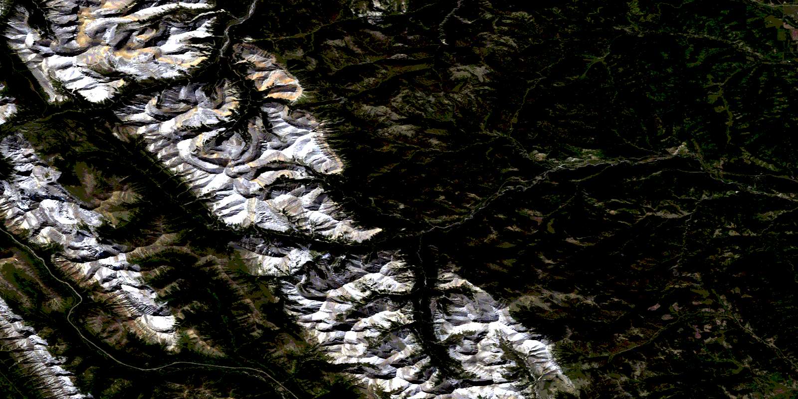
© Department of Natural Resources Canada. All rights reserved.
082J Related Maps:
082J Kananaskis Lakes082J01 Langford Creek
082J02 Fording River
082J03 Mount Peck
082J04 Canal Flats
082J05 Fairmont Hot Springs
082J06 Mount Abruzzi
082J07 Mount Head
082J08 Stimson Creek
082J09 Turner Valley
082J10 Mount Rae
082J11 Kananaskis Lakes
082J12 Tangle Peak
082J13 Mount Assiniboine
082J14 Spray Lakes Reservoir
082J15 Bragg Creek
082J16 Priddis
