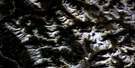
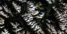
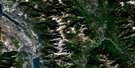
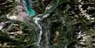
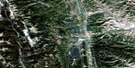
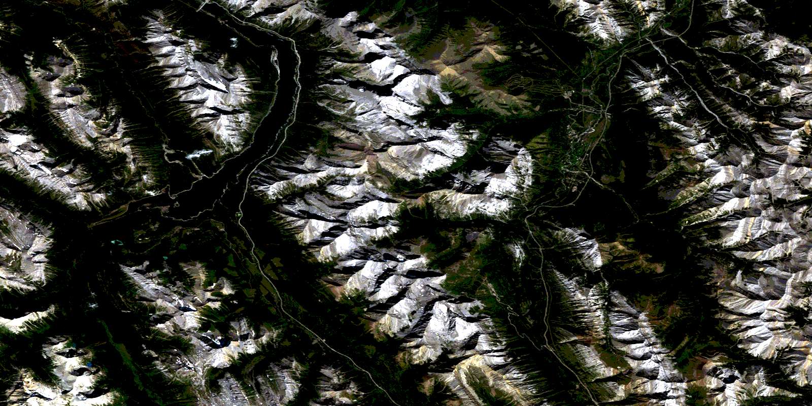
Spray Lakes Reservoir Satellite Image Map
Download Free Aerial Photo 082J14 at 1:50,000 scale
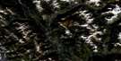
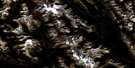
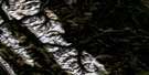
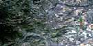
Spray Lakes Reservoir Satellite Imagery
To view this satellite map, mouse over the air photo on the right.
You can also download this satellite image map for free:
082J14 Spray Lakes Reservoir high-resolution satellite image map.
Maps for the Spray Lakes Reservoir aerial map sheet 082J14 at 1:50,000 scale are also available in these versions:
Spray Lakes Reservoir Surrounding Area Aerial Photo Maps
 |
 |
 |
 |
 |
 |
 |
 |
 |
 |
 |
 |
 |
 |
 |
 |
© Department of Natural Resources Canada. All rights reserved.
Spray Lakes Reservoir Gazetteer
The following places can be found on satellite image map 082J14 Spray Lakes Reservoir:
Spray Lakes Reservoir Satellite Image: Falls
O'Shaughnessy FallsTroll Falls
Spray Lakes Reservoir Satellite Image: Lakes
Burstall LakesChester Lake
Commonwealth Lake
Flat Pond
Fortress Lake
Galatea Lakes
Headwall Lakes
Hogarth Lakes
Kovach Pond
Leman Lake
Lillian Lake
Memorial Lakes
Mount Lorette Ponds
Mud Lake
Ribbon Lake
Rummel Lake
Shark Lake
Spray Lake
Spray Lakes Reservoir
Watridge Lake
Wedge Pond
Spray Lakes Reservoir Satellite Image: Mountains
Commonwealth PeakCone Mountain
Fisher Peak
Fisher Range
Goat Range
Kananaskis Range
Limestone Mountain
Montagnes Rocheuses
Mount Allan
Mount Birdwood
Mount Bogart
Mount Buller
Mount Burstall
Mount Chester
Mount Currie
Mount Engadine
Mount Evans-Thomas
Mount Evan-Thomas
Mount Fortune
Mount Galatea
Mount Hood
Mount Inflexible
Mount James Walker
Mount Kidd
Mount Lawson
Mount Leval
Mount Leval
Mount Lorette
Mount Lougheed
Mount McDougall
Mount Morrison
Mount Murray
Mount Nestor
Mount Packenham
Mount Shark
Mount Smuts
Mount Sparrowhawk
Mount Turbulent
Mount Turner
Mount Vavasour
Mount Warre
Mount White Man
Opal Mountains
Opal Range
Rocky Mountains
Spray Mountains
Sundance Range
The Fortress
The Wedge
White Man Mountain
White Man Mountain
Wind Mountain
Windtower
Spray Lakes Reservoir Satellite Image: Major municipal/district area - major agglomerations
Regional District of East KootenaySpray Lakes Reservoir Satellite Image: Other municipal/district area - miscellaneous
Improvement District No. 5Kananaskis Improvement District
Spray Lakes Reservoir Satellite Image: Conservation areas
Banff National Park of CanadaKananaskis Provincial Park
Parc national du Canada Banff
Peter Lougheed Provincial Park
Spray Valley Provincial Park
Spray Lakes Reservoir Satellite Image: Rivers
Birdwood CreekBryant Creek
Buller Creek
Burstall Creek
Canyon Creek
Chester Creek
Commonwealth Creek
Cross River
Currie Creek
Evans-Thomas Creek
Evan-Thomas Creek
Flat Creek
French Creek
Galatea Creek
Grizzly Creek
Headwall Creek
Indian Creek
James Walker Creek
Kananaskis River
Leval Creek
Lorette Creek
Marmot Creek
North Ribbon Creek
Pigeon Creek
Porcupine Creek
Ribbon Creek
Ripple Rock Creek
Rocky Creek
Rummel Creek
Shoulder Creek
Smith-Dorrien Creek
Smuts Creek
Spray River
Spurling Creek
Turbulent Creek
Warre Creek
Warridge Creek
Wasootch Creek
Watridge Creek
West Wind Creek
White Man Creek
Wind Creek
Wind Creek
Spray Lakes Reservoir Satellite Image: Springs
Karst SpringsSpray Lakes Reservoir Satellite Image: Unincorporated areas
Kananaskis VillageKovach
Spray Lakes Reservoir Satellite Image: Valleys
Burstall PassWhite Man Pass
© Department of Natural Resources Canada. All rights reserved.
082J Related Maps:
082J Kananaskis Lakes082J01 Langford Creek
082J02 Fording River
082J03 Mount Peck
082J04 Canal Flats
082J05 Fairmont Hot Springs
082J06 Mount Abruzzi
082J07 Mount Head
082J08 Stimson Creek
082J09 Turner Valley
082J10 Mount Rae
082J11 Kananaskis Lakes
082J12 Tangle Peak
082J13 Mount Assiniboine
082J14 Spray Lakes Reservoir
082J15 Bragg Creek
082J16 Priddis
