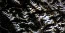
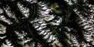
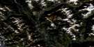
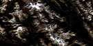
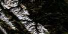
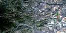
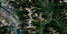
Tangle Peak Satellite Image Map
Download Free Aerial Photo 082J12 at 1:50,000 scale
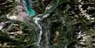
Tangle Peak Satellite Imagery
To view this satellite map, mouse over the air photo on the right.
You can also download this satellite image map for free:
082J12 Tangle Peak high-resolution satellite image map.
Maps for the Tangle Peak aerial map sheet 082J12 at 1:50,000 scale are also available in these versions:
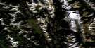
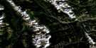
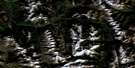
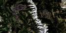
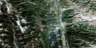
Tangle Peak Surrounding Area Aerial Photo Maps
 |
 |
 |
 |
 |
 |
 |
 |
 |
 |
 |
 |
 |
 |
 |
 |
© Department of Natural Resources Canada. All rights reserved.
Tangle Peak Gazetteer
The following places can be found on satellite image map 082J12 Tangle Peak:
Tangle Peak Satellite Image: Indian Reserves
Réserve indienne ShuswapShuswap Indian Reserve
Tangle Peak Satellite Image: Lakes
Cobb LakeLake Olive
Tangle Peak Satellite Image: Mountains
Brisco RangeKootenay Ranges
Lookout Point
Mitchell Range
Montagnes Rocheuses
Mount Bryan
Mount Sinclair
Mount Soderholm
Park Ranges
Pinto Mountain
Rocky Mountains
Stanford Range
Swansea Mountain
Tangle Peak
Tangle Peak Satellite Image: Major municipal/district area - major agglomerations
Regional District of East KootenayTangle Peak Satellite Image: Conservation areas
Kootenay National Park of CanadaParc national du Canada Kootenay
Tangle Peak Satellite Image: Rivers
Albert RiverAlcantara Creek
Bear Creek
Bornais Creek
Burnais Creek
Cochran Creek
Corne d'elan Creek
Cross River
Dry Gulch Creek
Fadeaway Creek
Kimpton Creek
Kootenay River
Little Elk Creek
Minnow Creek
Mitchell River
Nixon Creek
North Windermere Creek
Palliser River
Pitts Creek
Rubie Creek
Shaft Creek
Shuswap Creek
Silt Creek
Sinclair Creek
Stoddart Creek
Swede Creek
Tangle Creek
Witness Creek
Yearling Creek
Tangle Peak Satellite Image: Valleys
Kimpton PassMiller Pass
Rocky Mountain Trench
Sinclair Pass
Tangle Peak Satellite Image: Low vegetation
Salt Lake Meadows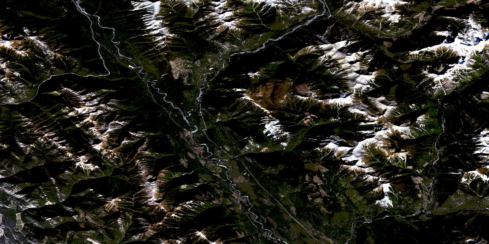
© Department of Natural Resources Canada. All rights reserved.
082J Related Maps:
082J Kananaskis Lakes082J01 Langford Creek
082J02 Fording River
082J03 Mount Peck
082J04 Canal Flats
082J05 Fairmont Hot Springs
082J06 Mount Abruzzi
082J07 Mount Head
082J08 Stimson Creek
082J09 Turner Valley
082J10 Mount Rae
082J11 Kananaskis Lakes
082J12 Tangle Peak
082J13 Mount Assiniboine
082J14 Spray Lakes Reservoir
082J15 Bragg Creek
082J16 Priddis
