Langford Creek Satellite Image Map
Download Free Aerial Photo 082J01 at 1:50,000 scale
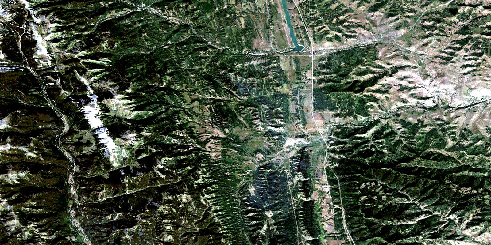
Langford Creek Satellite Imagery
To view this satellite map, mouse over the air photo on the right.
You can also download this satellite image map for free:
082J01 Langford Creek high-resolution satellite image map.
Maps for the Langford Creek aerial map sheet 082J01 at 1:50,000 scale are also available in these versions:
Langford Creek Surrounding Area Aerial Photo Maps
 |
 |
 |
 |
 |
 |
 |
 |
 |
 |
 |
 |
 |
 |
 |
 |
© Department of Natural Resources Canada. All rights reserved.
Langford Creek Gazetteer
The following places can be found on satellite image map 082J01 Langford Creek:
Langford Creek Satellite Image: Falls
Livingstone FallsLangford Creek Satellite Image: Lakes
Bear PondChain Lakes
Chain Lakes Reservoir
Iron Lakes
Langford Creek Satellite Image: Mountains
Cabin RidgeChaffen Ridge
Hailstone Butte
Horseshoe Ridge
Isola Peak
Livingstone Range
Mount Livingstone
Porcupine Hills
Rocky Mountain Foothills
Trout Creek Ridge
Whaleback Ridge
Windy Peak
Langford Creek Satellite Image: Major municipal/district area - major agglomerations
Municipal District of Ranchland No. 66Municipal District of Willow Creek No. 26
Langford Creek Satellite Image: Other municipal/district area - miscellaneous
Improvement District No. 5Improvement District of Ranchland No. 6
Kananaskis Improvement District
Langford Creek Satellite Image: Conservation areas
Chain Lakes Provincial ParkLangford Creek Satellite Image: Rivers
Beagle CreekBeaver Creek
Big Jim Creek
Bob Creek
Callum Creek
Chaffen Creek
Corral Creek
Deep Creek
Dry Creek
Hawkeye Creek
Hunter Creek
Iron Creek
Johnson Creek
Johnson Creek
King Bolt Creek
Langford Creek
Lanthier Creek
Lassie Creek
Livingstone River
Lyndon Creek
McIntosh Creek
Mean Creek
Mott Creek
Nelson Creek
Nelson Creek
North Lyndon Creek
North Twin Creek
O'Donnel Creek
Owl Creek
Pekisko Creek
Poole Creek
Raspberry Creek
Rice Creek
Rickman Creek
Ridge Creek
Riley Creek
Savanna Creek
ShaleCreek
South Twin Creek
South Willow Creek
South Willow Creek
Spears Creek
Speers Creek
Spring Creek
Swanson Creek
Timber Creek
Trout Creek
Ward Creek
Westrup Creek
White Creek
Willow Creek
Langford Creek Satellite Image: Valleys
Breeding ValleyChandler Coulée
Dry Coulée
Happy Valley
Honey Coulée
Minor Coulée
Ropeo Gap
Sentinel Pass
Squaw Coulée
Timber Coulée
Trail Coulée
Wager Coulée
© Department of Natural Resources Canada. All rights reserved.
082J Related Maps:
082J Kananaskis Lakes082J01 Langford Creek
082J02 Fording River
082J03 Mount Peck
082J04 Canal Flats
082J05 Fairmont Hot Springs
082J06 Mount Abruzzi
082J07 Mount Head
082J08 Stimson Creek
082J09 Turner Valley
082J10 Mount Rae
082J11 Kananaskis Lakes
082J12 Tangle Peak
082J13 Mount Assiniboine
082J14 Spray Lakes Reservoir
082J15 Bragg Creek
082J16 Priddis
