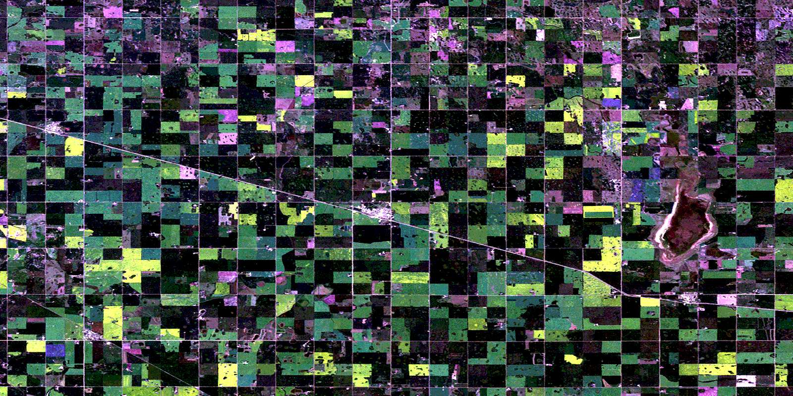
Daysland Satellite Image Map
Download Free Aerial Photo 083A16 at 1:50,000 scale
Daysland Satellite Imagery
To view this satellite map, mouse over the air photo on the right.
You can also download this satellite image map for free:
083A16 Daysland high-resolution satellite image map.
Maps for the Daysland aerial map sheet 083A16 at 1:50,000 scale are also available in these versions:
Daysland Surrounding Area Aerial Photo Maps
 |
 |
 |
 |
 |
 |
 |
 |
 |
 |
 |
 |
 |
 |
 |
 |
© Department of Natural Resources Canada. All rights reserved.
Daysland Gazetteer
The following places can be found on satellite image map 083A16 Daysland:
Daysland Satellite Image: Lakes
Wavey LakeWavy Lake
Daysland Satellite Image: Major municipal/district area - major agglomerations
County of Camrose No. 22County of Flagstaff No. 29
Flagstaff County
Daysland Satellite Image: Rivers
Driedmeat CreekDaysland Satellite Image: Towns
DayslandDaysland Satellite Image: Unincorporated areas
QuarrelSpring Lake
Daysland Satellite Image: Villages
BawlfRosalind
Strome
© Department of Natural Resources Canada. All rights reserved.
