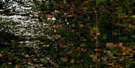
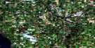
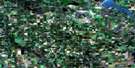
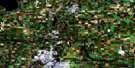
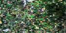
Big Valley Satellite Image Map
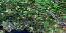
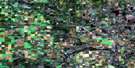
Download Free Aerial Photo 083A02 at 1:50,000 scale
Big Valley Satellite Imagery
To view this satellite map, mouse over the air photo on the right.
You can also download this satellite image map for free:
083A02 Big Valley high-resolution satellite image map.
Maps for the Big Valley aerial map sheet 083A02 at 1:50,000 scale are also available in these versions:
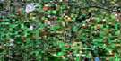
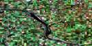
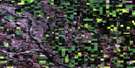
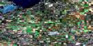
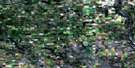
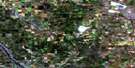
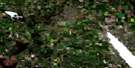
Big Valley Surrounding Area Aerial Photo Maps
 |
 |
 |
 |
 |
 |
 |
 |
 |
 |
 |
 |
 |
 |
 |
 |
© Department of Natural Resources Canada. All rights reserved.
Big Valley Gazetteer
The following places can be found on satellite image map 083A02 Big Valley:
Big Valley Satellite Image: Lakes
Beltz LakeCameron Lake
Ewing Lake
Foxall Lake
Foxall Lakes
Gough Lake
Hebert Lake
Lonepine Lake
Lowden Lake
Marion Lake
Oxyoke Lake
Postill Lake
Ross Lake
Ross Lakes
Round Lake
Wall Lake
Big Valley Satellite Image: Major municipal/district area - major agglomerations
County of Red Deer No. 23County of Stettler No. 6
Red Deer County
Big Valley Satellite Image: Rivers
Big Valley CreekRed Deer River
Big Valley Satellite Image: Unincorporated areas
CapronaFenn
Sabine
Warden
Big Valley Satellite Image: Villages
Big Valley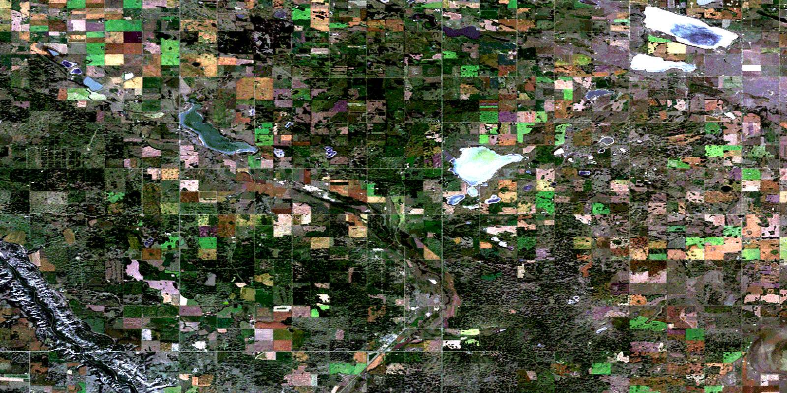
© Department of Natural Resources Canada. All rights reserved.
