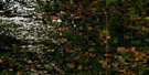
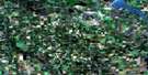
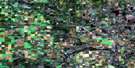
Bearhills Lake Satellite Image Map
Download Free Aerial Photo 083A13 at 1:50,000 scale
Bearhills Lake Satellite Imagery
To view this satellite map, mouse over the air photo on the right.
You can also download this satellite image map for free:
083A13 Bearhills Lake high-resolution satellite image map.
Maps for the Bearhills Lake aerial map sheet 083A13 at 1:50,000 scale are also available in these versions:
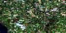
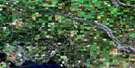
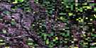
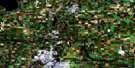
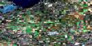
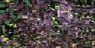
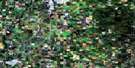
Bearhills Lake Surrounding Area Aerial Photo Maps
 |
 |
 |
 |
 |
 |
 |
 |
 |
 |
 |
 |
 |
 |
 |
 |
© Department of Natural Resources Canada. All rights reserved.
Bearhills Lake Gazetteer
The following places can be found on satellite image map 083A13 Bearhills Lake:
Bearhills Lake Satellite Image: Indian Reserves
Louis Bull 138BPigeon Lake 138A
Bearhills Lake Satellite Image: Lakes
Bearhills LakePigeon Lake
Bearhills Lake Satellite Image: Mountains
Bear HillsBearhills Lake Satellite Image: Major municipal/district area - major agglomerations
County of Ponoka No. 3County of Wetaskiwin No. 10
Ponoka County
Bearhills Lake Satellite Image: Conservation areas
Ma-Me-O Beach Provincial ParkBearhills Lake Satellite Image: Rivers
Battle RiverBigstone Creek
Falun Creek
Maskwa Creek
Muskeg Creek
Pigeon Lake Creek
Bearhills Lake Satellite Image: Unincorporated areas
BrightviewChesterwold
Falun
Menaik
Usona
Westerose
Bearhills Lake Satellite Image: Villages
Ma-Me-O Beach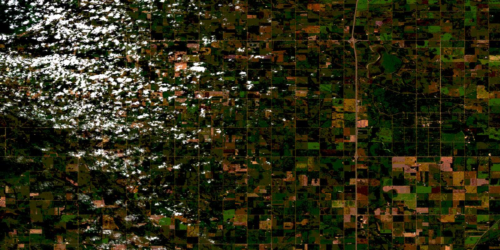
© Department of Natural Resources Canada. All rights reserved.
